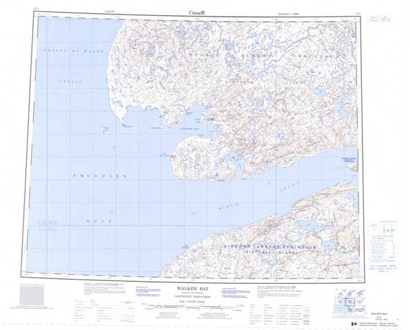
087G Walker Bay Topographic Maps
Maps for the Walker Bay map sheet 087G at 1:250,000 scale are available in 5 versions:
Topographic Map of Walker Bay
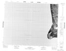
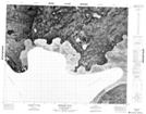
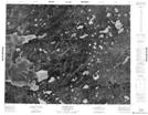
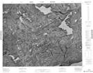
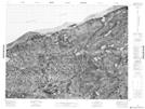
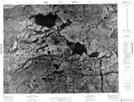
1:50,000 Scale Topos for Walker Bay 087G:
 |
 |
 |
|
 |
 |
 |
 |
 |
 |
 |
|
 |
 |
 |
087G Related Maps:
087G Walker Bay
087G01 No Title
087G02 No Title
087G03 Cape Wollaston
087G06 Mount Phayre
087G07 Boot Inlet
087G08 Kuujjua River
087G09 No Title
087G10 Winter Cove
087G11 Berkeley Point
087G12 No Title
087G14 No Title
087G15 No Title
087G16 No Title
087G01 No Title
087G02 No Title
087G03 Cape Wollaston
087G06 Mount Phayre
087G07 Boot Inlet
087G08 Kuujjua River
087G09 No Title
087G10 Winter Cove
087G11 Berkeley Point
087G12 No Title
087G14 No Title
087G15 No Title
087G16 No Title
