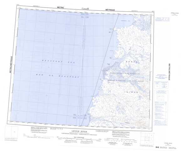
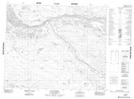
098B Lennie River Topographic Maps
Maps for the Lennie River map sheet 098B at 1:250,000 scale are available in 5 versions:
Topographic Map of Lennie River
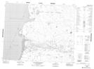
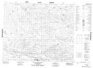
1:50,000 Scale Topos for Lennie River 098B:
 |
|||
 |
 |
||
 |
 |
||
 |
 |
098B Related Maps:
098B Lennie River
098B01 Imnaugaluit Hills
098B02 Blue Fox Harbour
098B07 Siksik Point
098B08 Lucas Creek
098B09 No Title
098B10 Sea Otter Island
098B16 Meek Point
098B01 Imnaugaluit Hills
098B02 Blue Fox Harbour
098B07 Siksik Point
098B08 Lucas Creek
098B09 No Title
098B10 Sea Otter Island
098B16 Meek Point
