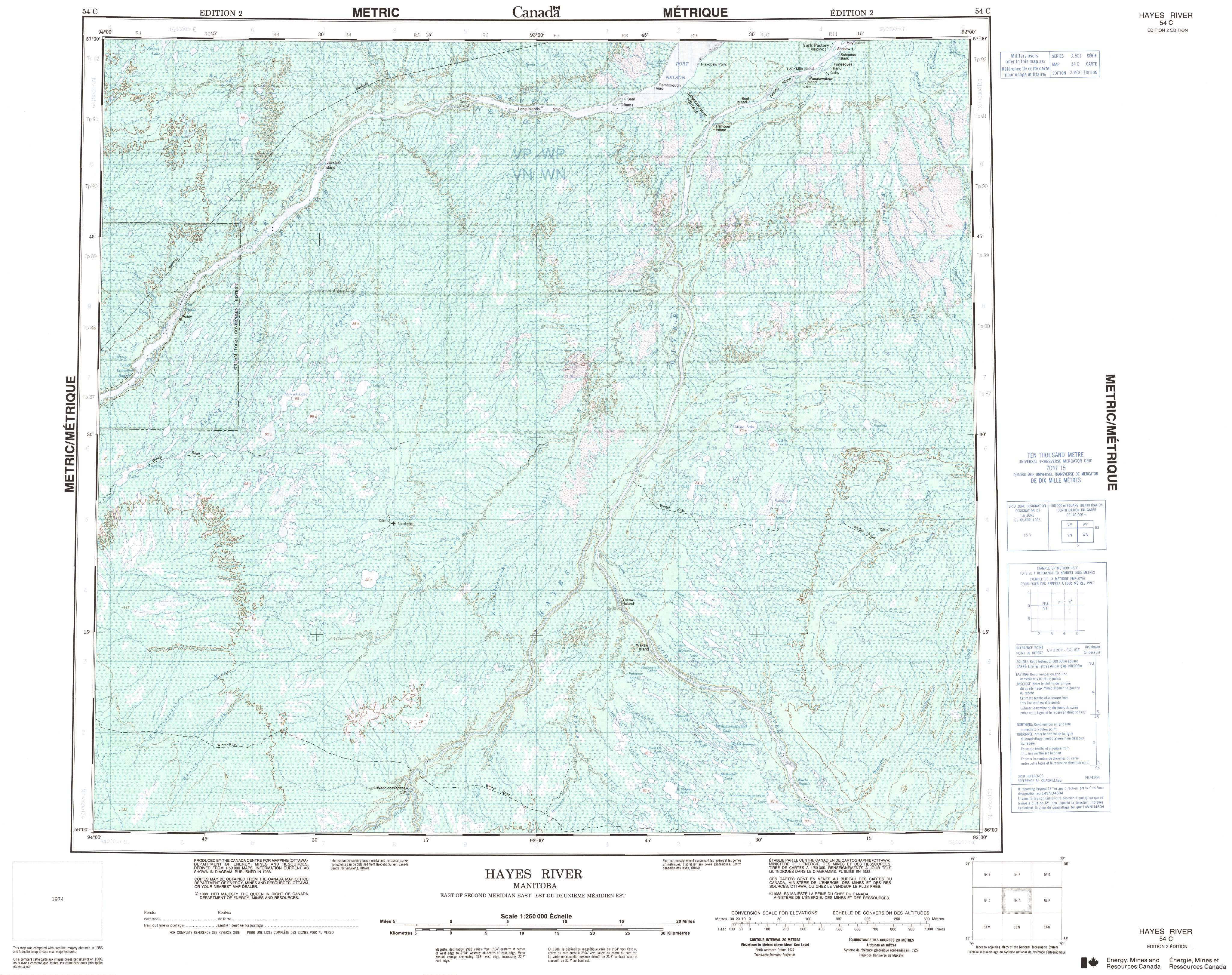
Free Hayes River Topographic Map
Topo maps you can print: 054C Hayes River
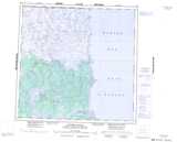
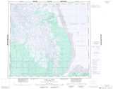
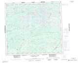
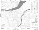
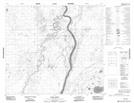
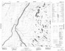
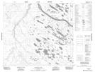
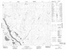
054C Hayes River Topo Map
To view this map, mouse over the map preview on the right.
You can also download and print this topo map for free:
054C Hayes River low-resolution printable topographic map.
A high-resolution map of Hayes River is available on Data-DVD.
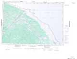
Maps for the Hayes River map sheet 054C at 1:250,000 scale are also available in these 4 versions:
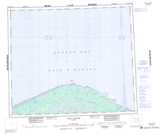
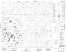
Hayes River Surrounding Area Topographic Maps at 1:250,000 scale (NTS 054)
 |
|||
 |
 |
||
 |
 |
 |
|
 |
 |
 |
 |
© Department of Natural Resources Canada. All rights reserved.
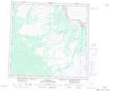
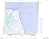
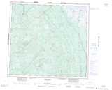
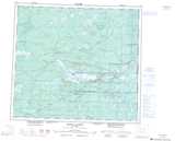
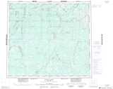
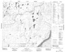
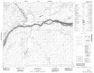
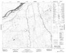
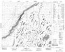
Hayes River Topo Maps at 1:50,000 (NTS 054C)
 |
 |
 |
 |
 |
 |
 |
 |
 |
 |
 |
 |
 |
 |
 |
 |
© Department of Natural Resources Canada. All rights reserved.
© Department of Natural Resources Canada. All rights reserved.
054C Related Maps:
054C Hayes River054C01 Wigwam Creek
054C02 Bilodeau Lake
054C03 Chura Lake
054C04 Whalen Lake
054C05 Fifer Lake
054C06 Bastable Lake
054C07 Caruso Lake
054C08 Robidoux Lake
054C09 Tawns Creek
054C10 Prost Creek
054C11 Panco Lake
054C12 Merrick Lake
054C13 Broten Lake
054C14 Deer Island
054C15 Gillam Island
054C16 Fishing Island
