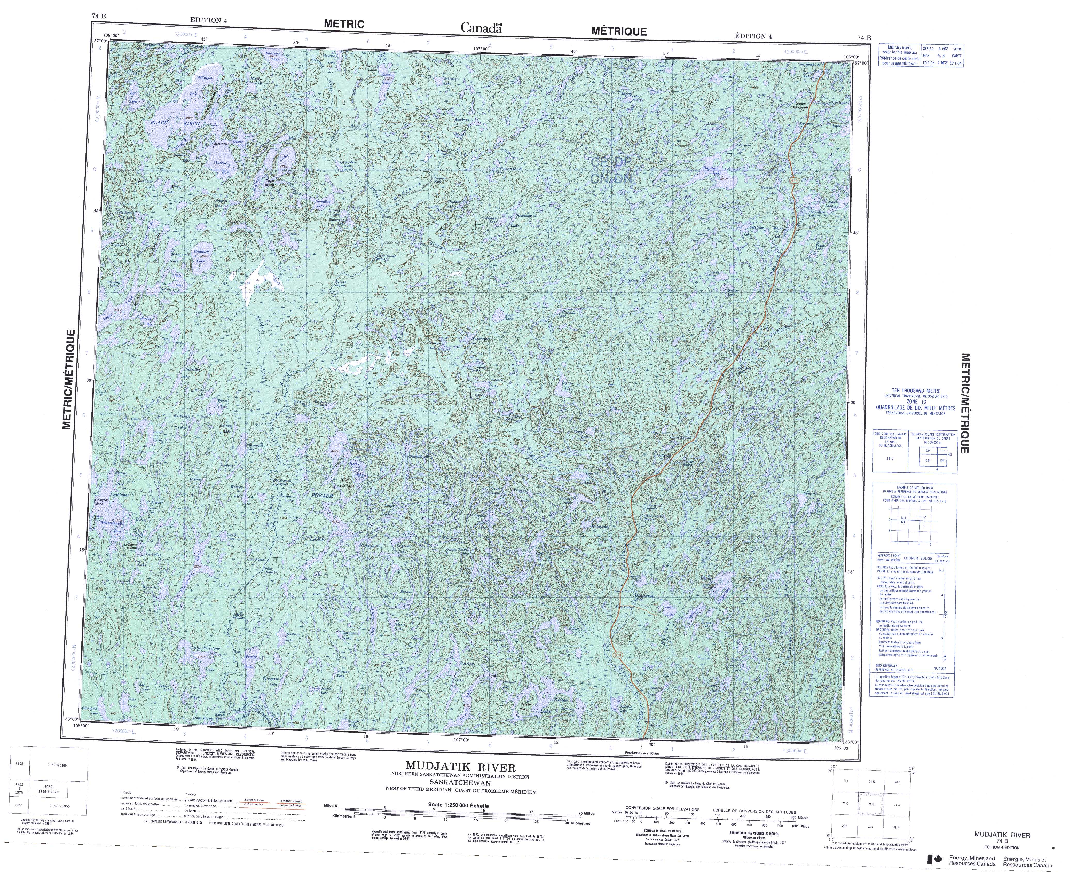
Free Mudjatik River Topographic Map
Topo maps you can print: 074B Mudjatik River
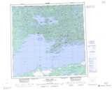
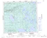
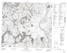
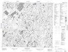
074B Mudjatik River Topo Map
To view this map, mouse over the map preview on the right.
You can also download and print this topo map for free:
074B Mudjatik River low-resolution printable topographic map.
A high-resolution map of Mudjatik River is available on Data-DVD.
Maps for the Mudjatik River map sheet 074B at 1:250,000 scale are also available in these 4 versions:
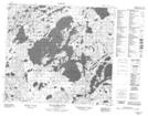
Mudjatik River Surrounding Area Topographic Maps at 1:250,000 scale (NTS 074)
 |
 |
 |
 |
 |
 |
 |
 |
 |
 |
 |
 |
 |
 |
 |
 |
© Department of Natural Resources Canada. All rights reserved.
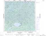
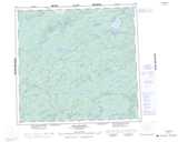
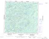
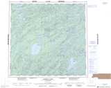
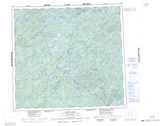
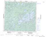
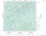
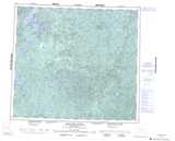
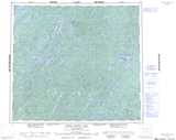
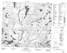
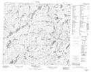
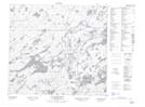
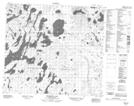
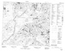
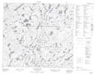
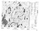
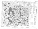
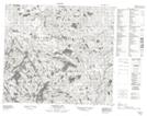
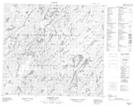
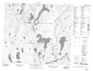
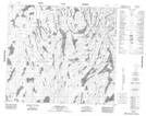
Mudjatik River Topo Maps at 1:50,000 (NTS 074B)
 |
 |
 |
 |
 |
 |
 |
 |
 |
 |
 |
 |
 |
 |
 |
 |
© Department of Natural Resources Canada. All rights reserved.
© Department of Natural Resources Canada. All rights reserved.
074B Related Maps:
074B Mudjatik River074B01 George Lake
074B02 Cup Lake
074B03 Studer Lake
074B04 Little Flatstone Lake
074B05 Gillies Lake
074B06 Porter Lake
074B07 Complex Lake
074B08 Norbert Lake
074B09 Smalley Lake
074B10 Boffa Lake
074B11 Grand Rapids
074B12 Heddery Lake
074B13 Black Birch Lake
074B14 Gwillim Lake
074B15 Desnomie Lakes
074B16 Haultain Lake
