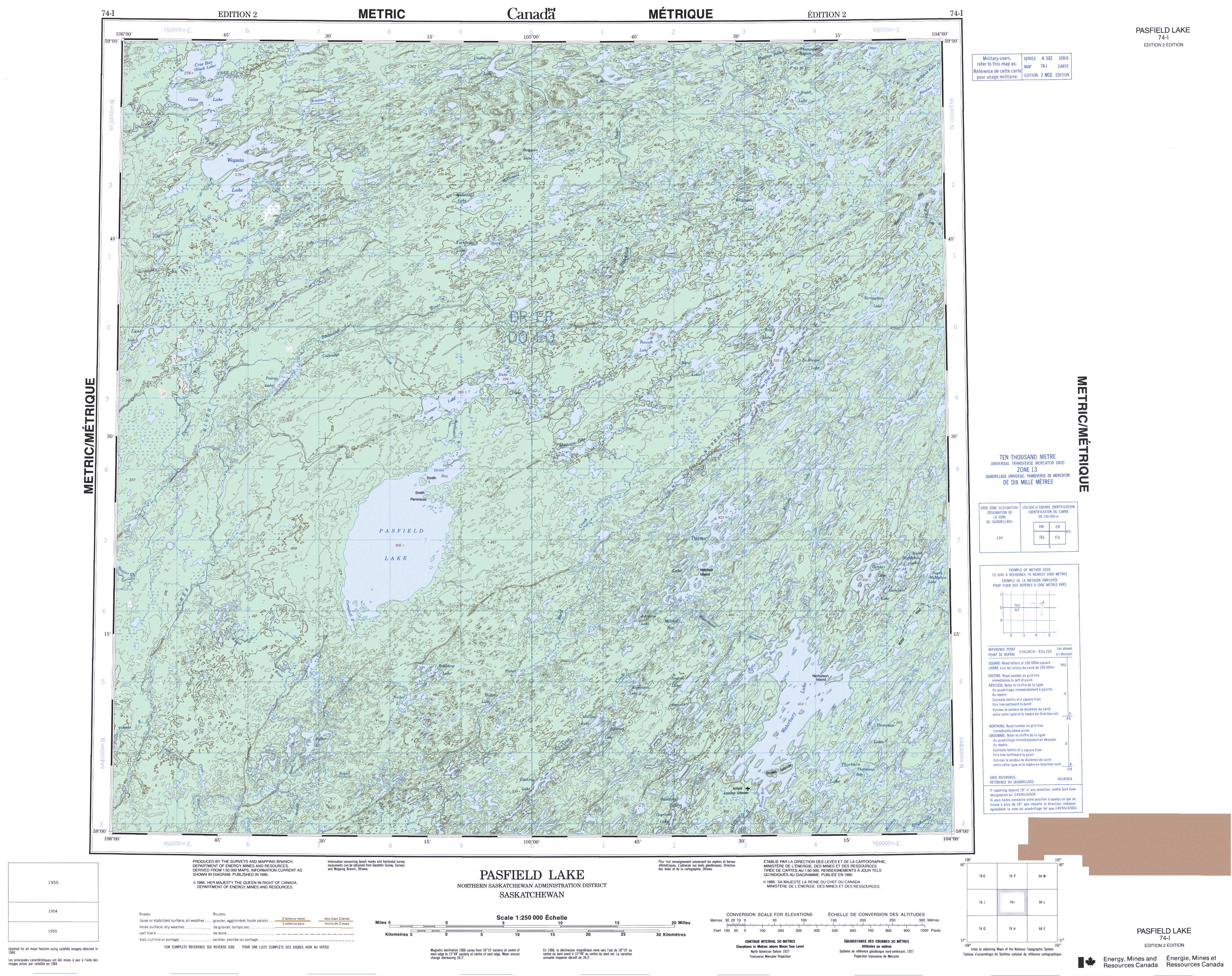
Free Pasfield Lake Topographic Map
Topo maps you can print: 074I Pasfield Lake
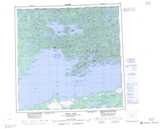
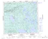
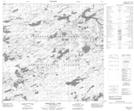
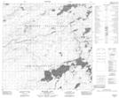
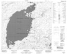
074I Pasfield Lake Topo Map
To view this map, mouse over the map preview on the right.
You can also download and print this topo map for free:
074I Pasfield Lake low-resolution printable topographic map.
A high-resolution map of Pasfield Lake is available on Data-DVD.
Maps for the Pasfield Lake map sheet 074I at 1:250,000 scale are also available in these 4 versions:
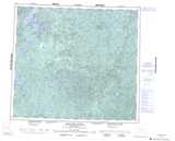
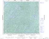
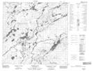
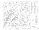
Pasfield Lake Surrounding Area Topographic Maps at 1:250,000 scale (NTS 074)
 |
 |
 |
 |
 |
 |
 |
 |
 |
 |
 |
 |
 |
 |
 |
 |
© Department of Natural Resources Canada. All rights reserved.
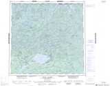
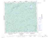
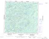
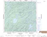
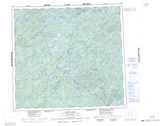
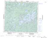
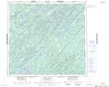
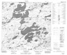
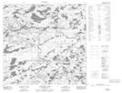
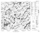
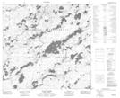
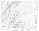
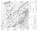
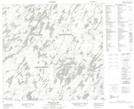
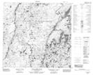
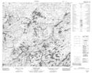
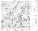
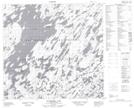
Pasfield Lake Topo Maps at 1:50,000 (NTS 074I)
 |
 |
 |
 |
 |
 |
 |
 |
 |
 |
 |
 |
 |
 |
 |
 |
© Department of Natural Resources Canada. All rights reserved.
© Department of Natural Resources Canada. All rights reserved.
074I Related Maps:
074I Pasfield Lake074I01 Waterbury Lake
074I02 Blixrud Lake
074I03 Nichol Lake
074I04 Little Cree River
074I05 Rapid River
074I06 Pasfield Lake
074I07 Theriau Lake
074I08 Henday Lake
074I09 Waterfound River
074I10 Ward Lakes
074I11 Granger Lake
074I12 Poitras Lake
074I13 Wapata Lake
074I14 Umfreville Lake
074I15 Pattyson Lake
074I16 Kosdaw Lake
