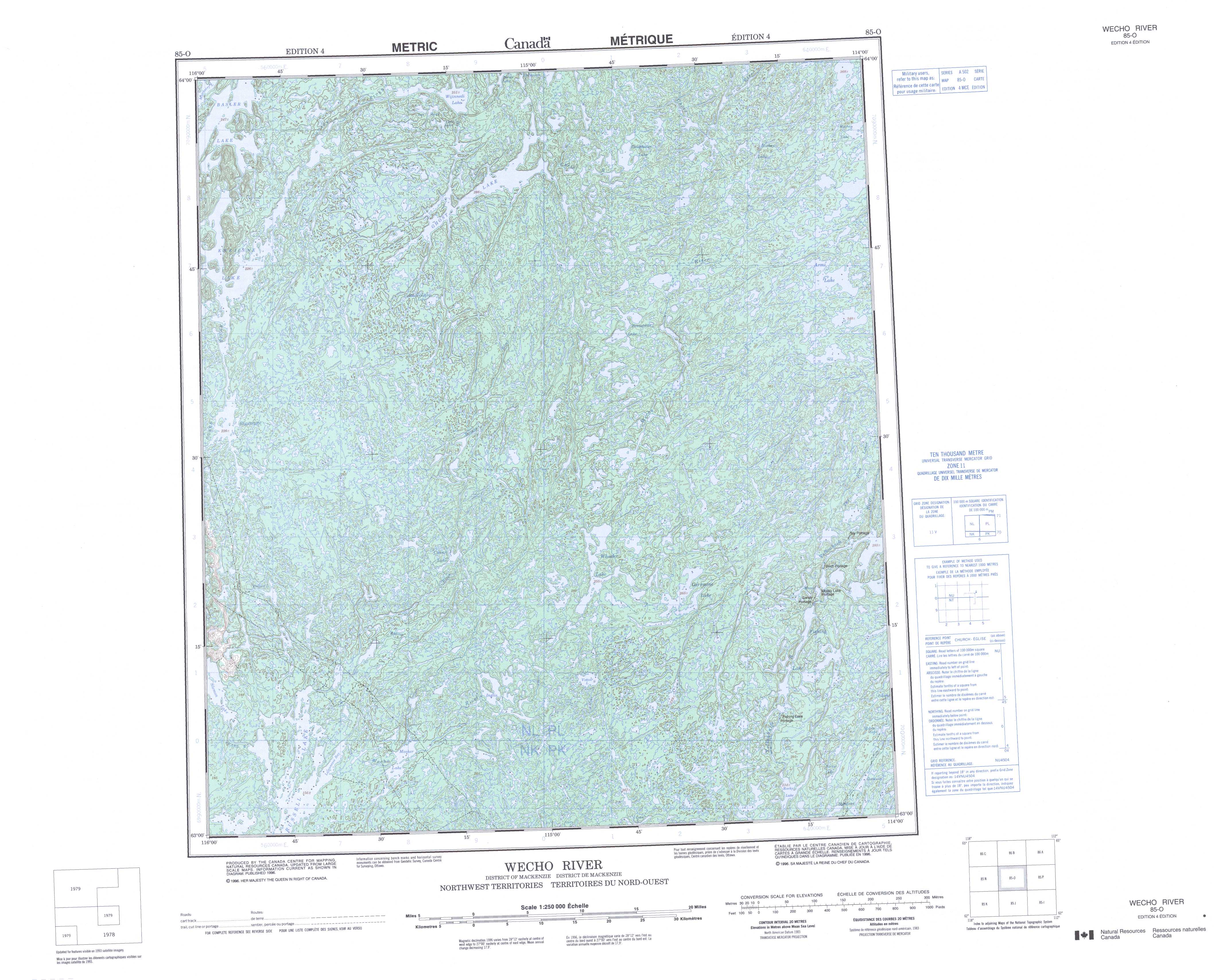
Free Wecho River Topographic Map
Topo maps you can print: 085O Wecho River
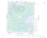
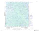
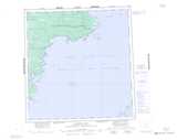
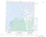
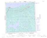
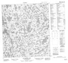
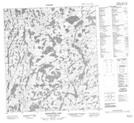
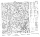
085O Wecho River Topo Map
To view this map, mouse over the map preview on the right.
You can also download and print this topo map for free:
085O Wecho River low-resolution printable topographic map.
A high-resolution map of Wecho River is available on Data-DVD.
Maps for the Wecho River map sheet 085O at 1:250,000 scale are also available in these 4 versions:
Wecho River Surrounding Area Topographic Maps at 1:250,000 scale (NTS 085)
 |
 |
 |
 |
 |
 |
 |
 |
 |
 |
 |
 |
 |
 |
 |
 |
© Department of Natural Resources Canada. All rights reserved.
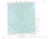
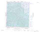
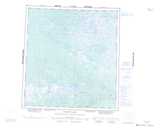
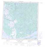
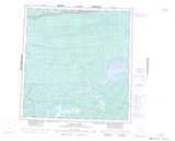
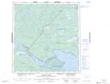
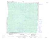
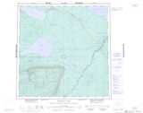
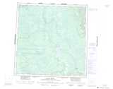
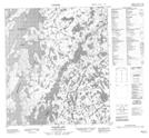
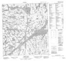
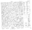
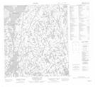
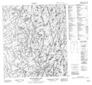
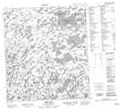
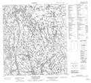
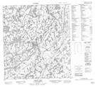
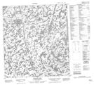
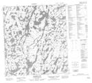
Wecho River Topo Maps at 1:50,000 (NTS 085O)
 |
 |
 |
 |
 |
 |
 |
 |
 |
 |
 |
 |
 |
 |
 |
 |
© Department of Natural Resources Canada. All rights reserved.
© Department of Natural Resources Canada. All rights reserved.
085O Related Maps:
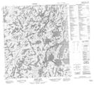
085O Wecho River085O01 Barker Lake
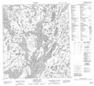
085O02 Votour Lake
085O03 Inglis Lake
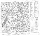
085O04 Slemon Lake
085O05 Pollock Lake
085O06 Cowan Lake
085O07 Wheeler Lake
085O08 Mossy Lake
085O09 Armi Lake
085O10 Bessonette Lake
085O11 Macnaughton Lake
085O12 Bigspruce Lake
085O13 Basler Lake
085O14 Ghost Lake
085O15 Dauphinee Lake
085O16 Hickey Lake
