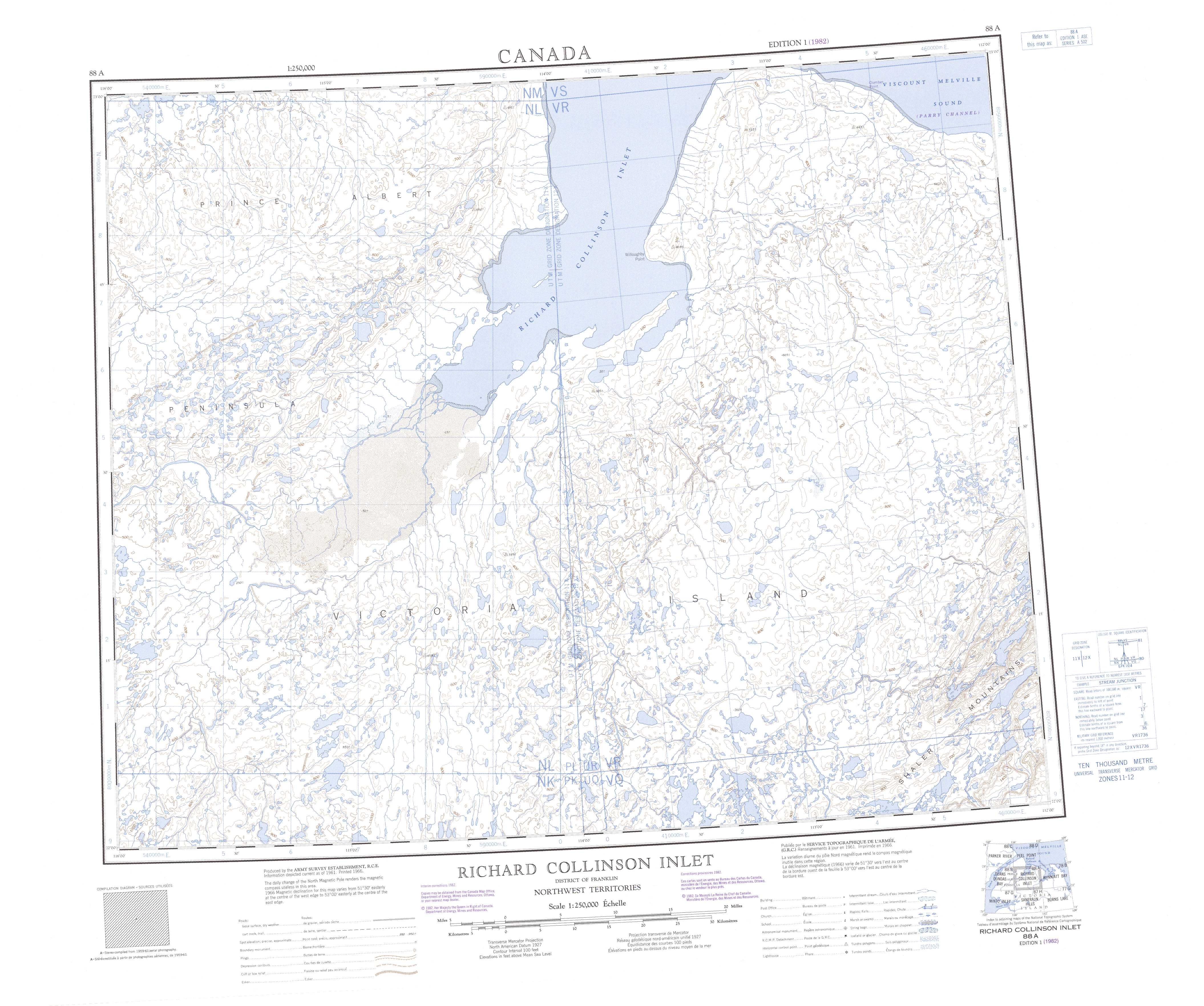
Free Richard Collinson Inlet Topographic Map
Topo maps you can print: 088A Richard Collinson Inlet
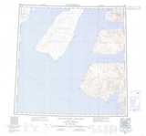
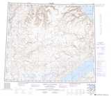
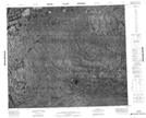
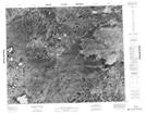
088A Richard Collinson Inlet Topo Map
To view this map, mouse over the map preview on the right.
You can also download and print this topo map for free:
088A Richard Collinson Inlet low-resolution printable topographic map.
A high-resolution map of Richard Collinson Inlet is available on Data-DVD.
Maps for the Richard Collinson Inlet map sheet 088A at 1:250,000 scale are also available in these 4 versions:
Richard Collinson Inlet Surrounding Area Topographic Maps at 1:250,000 scale (NTS 088)
 |
 |
 |
 |
 |
 |
 |
 |
© Department of Natural Resources Canada. All rights reserved.
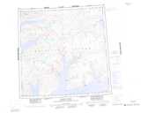
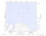
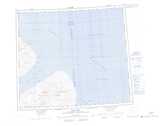
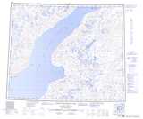
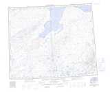
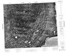
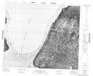
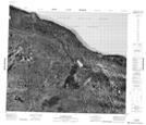
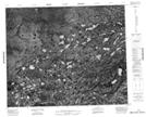
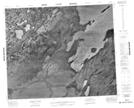
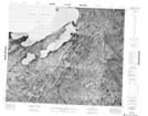
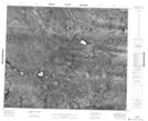
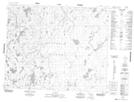
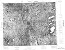
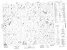
Richard Collinson Inlet Topo Maps at 1:50,000 (NTS 088A)
 |
 |
 |
 |
 |
 |
 |
 |
 |
 |
 |
 |
 |
 |
 |
 |
© Department of Natural Resources Canada. All rights reserved.
© Department of Natural Resources Canada. All rights reserved.
088A Related Maps:
088A Richard Collinson Inlet088A01 No Title
088A02 No Title
088A03 No Title
088A04 No Title
088A05 No Title
088A06 No Title
088A07 No Title
088A08 No Title
088A09 No Title
088A10 No Title
088A11 No Title
088A12 No Title
088A13 No Title
088A14 No Title
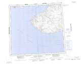
088A15 Willoughby Point
088A16 Clumber Point
