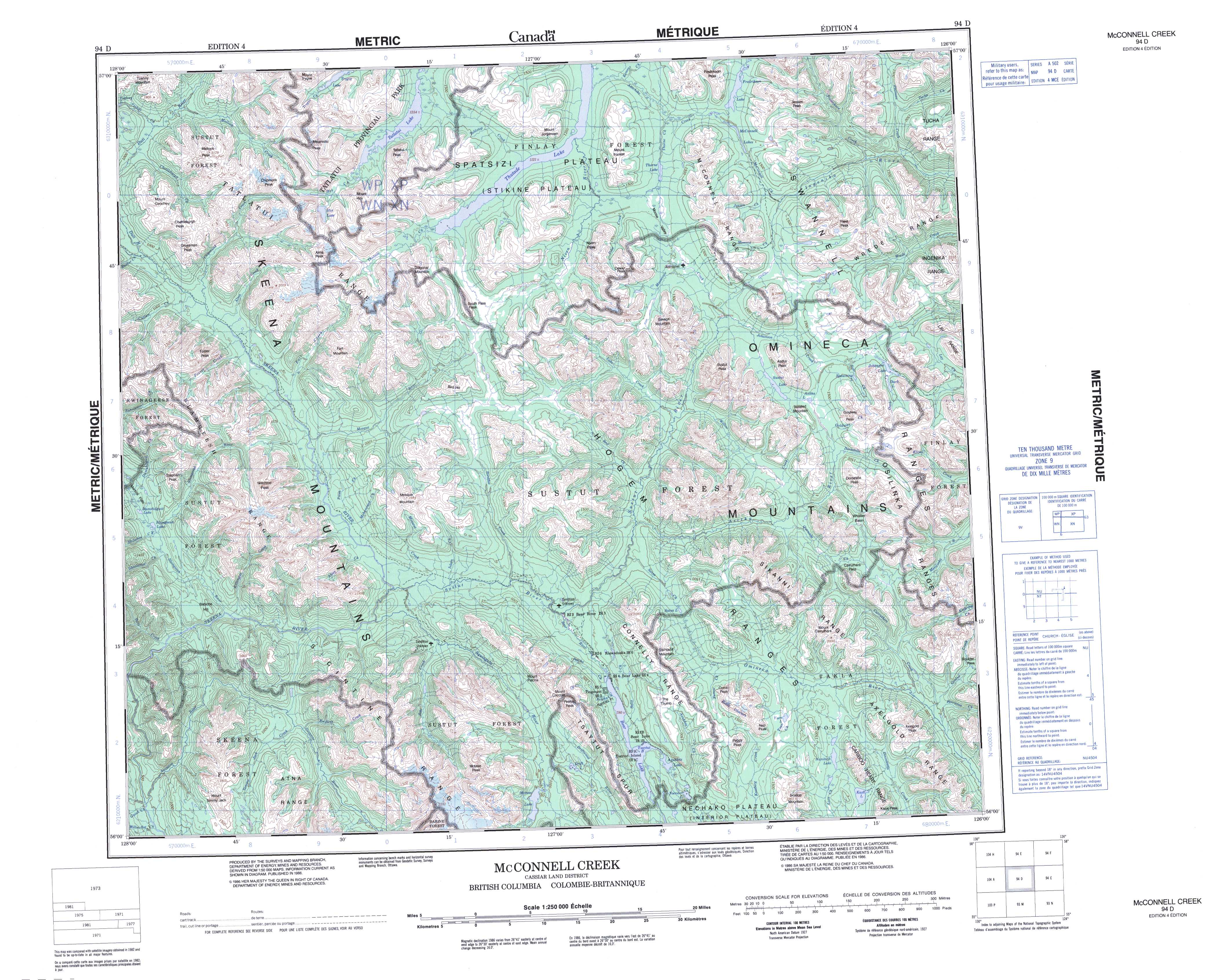
Free Mcconnell Creek Topographic Map
Topo maps you can print: 094D Mcconnell Creek
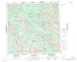
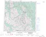
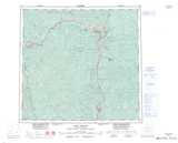
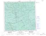
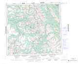
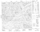
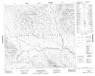
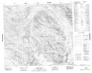
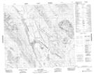
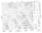
094D Mcconnell Creek Topo Map
To view this map, mouse over the map preview on the right.
You can also download and print this topo map for free:
094D Mcconnell Creek low-resolution printable topographic map.
A high-resolution map of Mcconnell Creek is available on Data-DVD.
Maps for the Mcconnell Creek map sheet 094D at 1:250,000 scale are also available in these 4 versions:
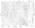
Mcconnell Creek Surrounding Area Topographic Maps at 1:250,000 scale (NTS 094)
 |
 |
 |
 |
 |
 |
 |
 |
 |
 |
 |
 |
 |
 |
 |
 |
© Department of Natural Resources Canada. All rights reserved.
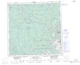
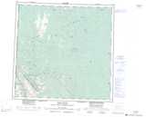
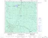
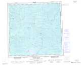
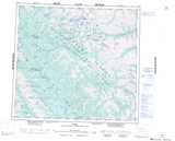
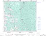
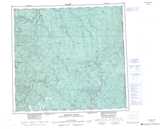
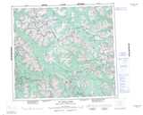
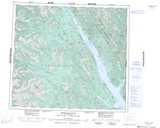
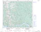
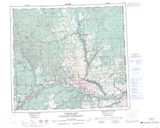
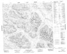
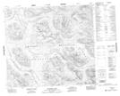
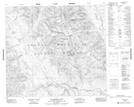
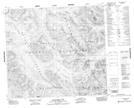
Mcconnell Creek Topo Maps at 1:50,000 (NTS 094D)
 |
 |
 |
 |
 |
 |
 |
 |
 |
 |
 |
 |
 |
 |
 |
 |
© Department of Natural Resources Canada. All rights reserved.
© Department of Natural Resources Canada. All rights reserved.
094D Related Maps:
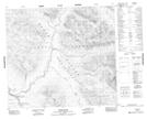
094D Mcconnell Creek094D01 Nanitsch Lake
094D02 Salix Creek
094D03 Motase Lake
094D04 Sicintine River
094D05 Slamgeesh River
094D06 Birdflat Creek
094D07 Asitka River
094D08 Carruthers Pass
094D09 Johanson Lake
094D10 Moosevale Creek
094D11 South Pass Peak
094D12 Alma Creek
094D13 Malloch Creek
094D14 Tatlatui Lake
094D15 Thorne Lake
094D16 Fredrikson Creek
