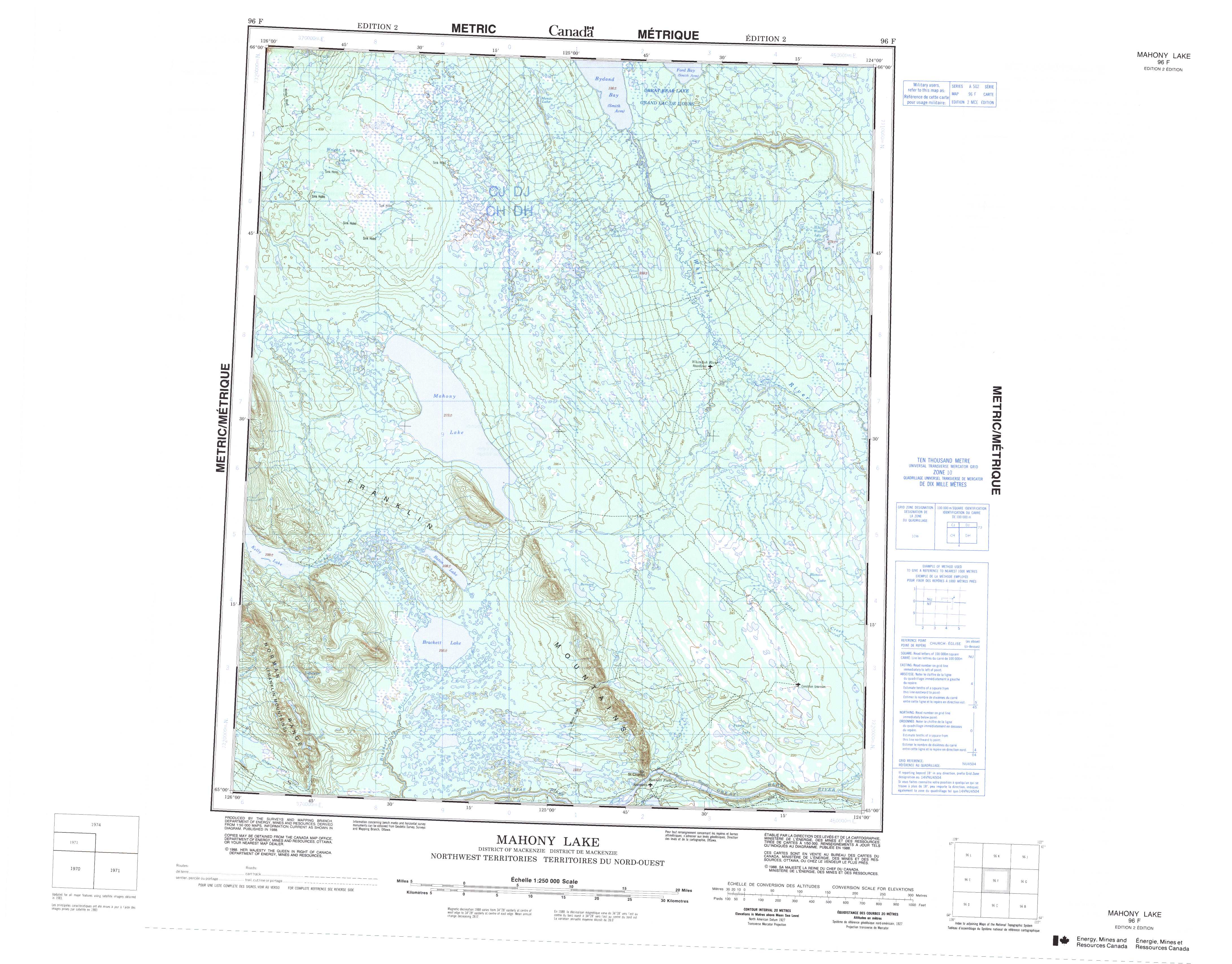
Free Mahony Lake Topographic Map
Topo maps you can print: 096F Mahony Lake
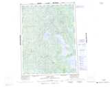
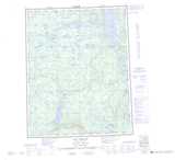
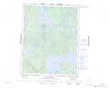
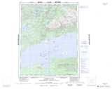
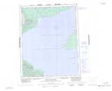
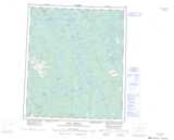
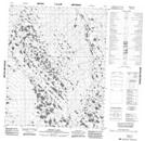
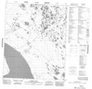
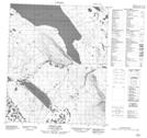
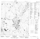
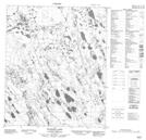
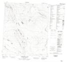
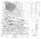
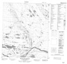
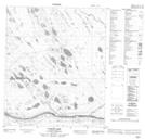
096F Mahony Lake Topo Map
To view this map, mouse over the map preview on the right.
You can also download and print this topo map for free:
096F Mahony Lake low-resolution printable topographic map.
A high-resolution map of Mahony Lake is available on Data-DVD.
Maps for the Mahony Lake map sheet 096F at 1:250,000 scale are also available in these 4 versions:
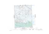
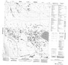
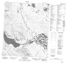
Mahony Lake Surrounding Area Topographic Maps at 1:250,000 scale (NTS 096)
 |
 |
 |
 |
 |
 |
 |
 |
 |
 |
 |
 |
 |
 |
 |
 |
© Department of Natural Resources Canada. All rights reserved.
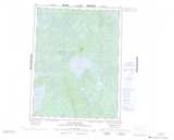
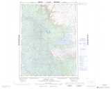
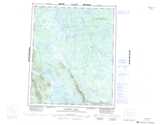
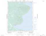
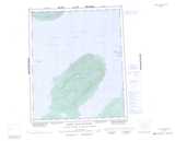
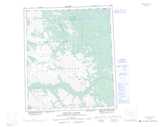
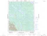
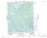
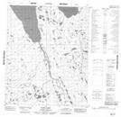
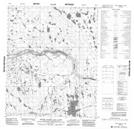
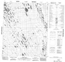
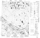
Mahony Lake Topo Maps at 1:50,000 (NTS 096F)
 |
 |
 |
 |
 |
 |
 |
 |
 |
 |
 |
 |
 |
 |
 |
 |
© Department of Natural Resources Canada. All rights reserved.
© Department of Natural Resources Canada. All rights reserved.
096F Related Maps:
096F Mahony Lake096F01 Yukon Lake
096F02 Mount St Charles
096F03 Brackett Lake
096F04 Yakeleya Lake
096F05 Loche Lake
096F06 Baton Lake
096F07 Bernard Lake
096F08 Blondin Lake
096F09 Kenny Lake
096F10 Tetso Lake
096F11 Neyele Lake
096F12 Menacho Creek
096F13 Wright Lakes
096F14 Mendo Lake
096F15 Tatti Lake
096F16 White Water Lily Lake
