Free Arctic Red River Topographic Map
Topo maps you can print: 106N Arctic Red River
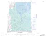
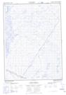
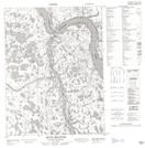
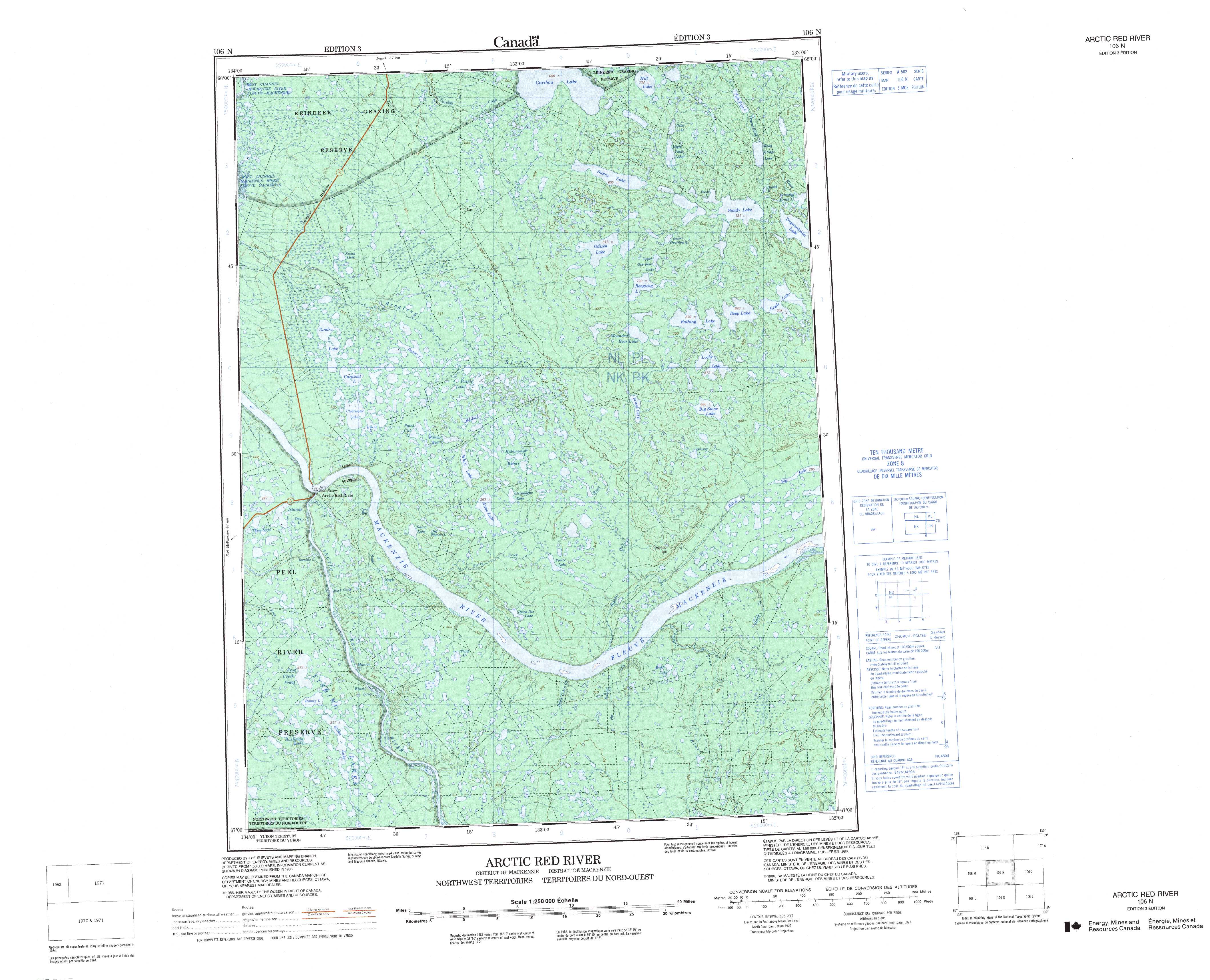
106N Arctic Red River Topo Map
To view this map, mouse over the map preview on the right.
You can also download and print this topo map for free:
106N Arctic Red River low-resolution printable topographic map.
A high-resolution map of Arctic Red River is available on Data-DVD.
Maps for the Arctic Red River map sheet 106N at 1:250,000 scale are also available in these 4 versions:
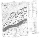
Arctic Red River Surrounding Area Topographic Maps at 1:250,000 scale (NTS 106)
 |
 |
 |
 |
 |
 |
 |
 |
 |
 |
 |
 |
 |
 |
 |
 |
© Department of Natural Resources Canada. All rights reserved.
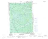
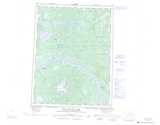
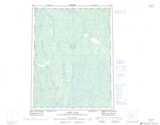
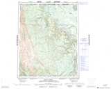
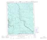
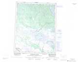
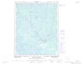
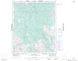
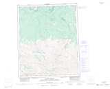
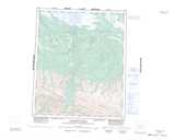
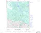
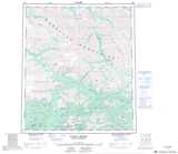
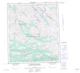
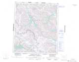
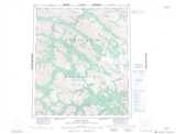
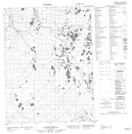
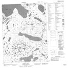
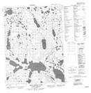
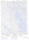
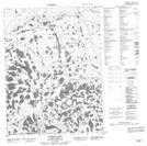
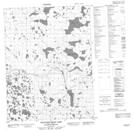
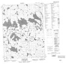
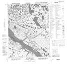
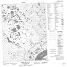
Arctic Red River Topo Maps at 1:50,000 (NTS 106N)
 |
 |
 |
 |
 |
 |
 |
 |
 |
 |
 |
 |
 |
 |
 |
 |
© Department of Natural Resources Canada. All rights reserved.
© Department of Natural Resources Canada. All rights reserved.
106N Related Maps:
106N Arctic Red River106N01 Tree River
106N02 Fat Rabbit Creek
106N03 Thad Lake
106N04 Ramey Lake
106N05 Arctic Red River
106N06 Attoe Lake
106N07 Rabbit Hay River
106N08 Benoit Creek
106N09 Jiggle Lake
106N10 Wounded Bear Lake
106N11 Puzzle Lake
106N12 Tundra Lake
106N13 No Title
106N14 No Title
106N15 Sunny Lake
106N16 Wood Bridge Lake
