Belle Isle Satellite Image Map
Download Free Aerial Photo 002M14 at 1:50,000 scale
Belle Isle Satellite Imagery
To view this satellite map, mouse over the air photo on the right.
You can also download this satellite image map for free:
002M14 Belle Isle high-resolution satellite image map.
Maps for the Belle Isle aerial map sheet 002M14 at 1:50,000 scale are also available in these versions:
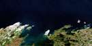
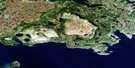
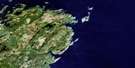
Belle Isle Surrounding Area Aerial Photo Maps
 |
 |
||
 |
 |
||
 |
|||
 |
© Department of Natural Resources Canada. All rights reserved.
Belle Isle Gazetteer
The following places can be found on satellite image map 002M14 Belle Isle:
Belle Isle Satellite Image: Bays
Barbers CoveBateau Cove
Beauty Cove
Blandfords Cove
Green Cove
Greenham Bight
Gull Battery Cove
Hook Cove
Lark Harbour
Lighthouse Cove
Ringbolt Cove
Roundhead Cove
Scotswood Cove
Showerbath Cove
Three Brooks Cove
White Point Cove
Wreck Cove
Belle Isle Satellite Image: Capes
Round HeadSouth Point
White Point
Belle Isle Satellite Image: Channels
Détroit de Belle IsleBelle Isle Satellite Image: Islands
Belle IsleLark Island
Belle Isle Satellite Image: Lakes
Bateau PondThree Islands Pond
Belle Isle Satellite Image: Shoals
Roundhead Rock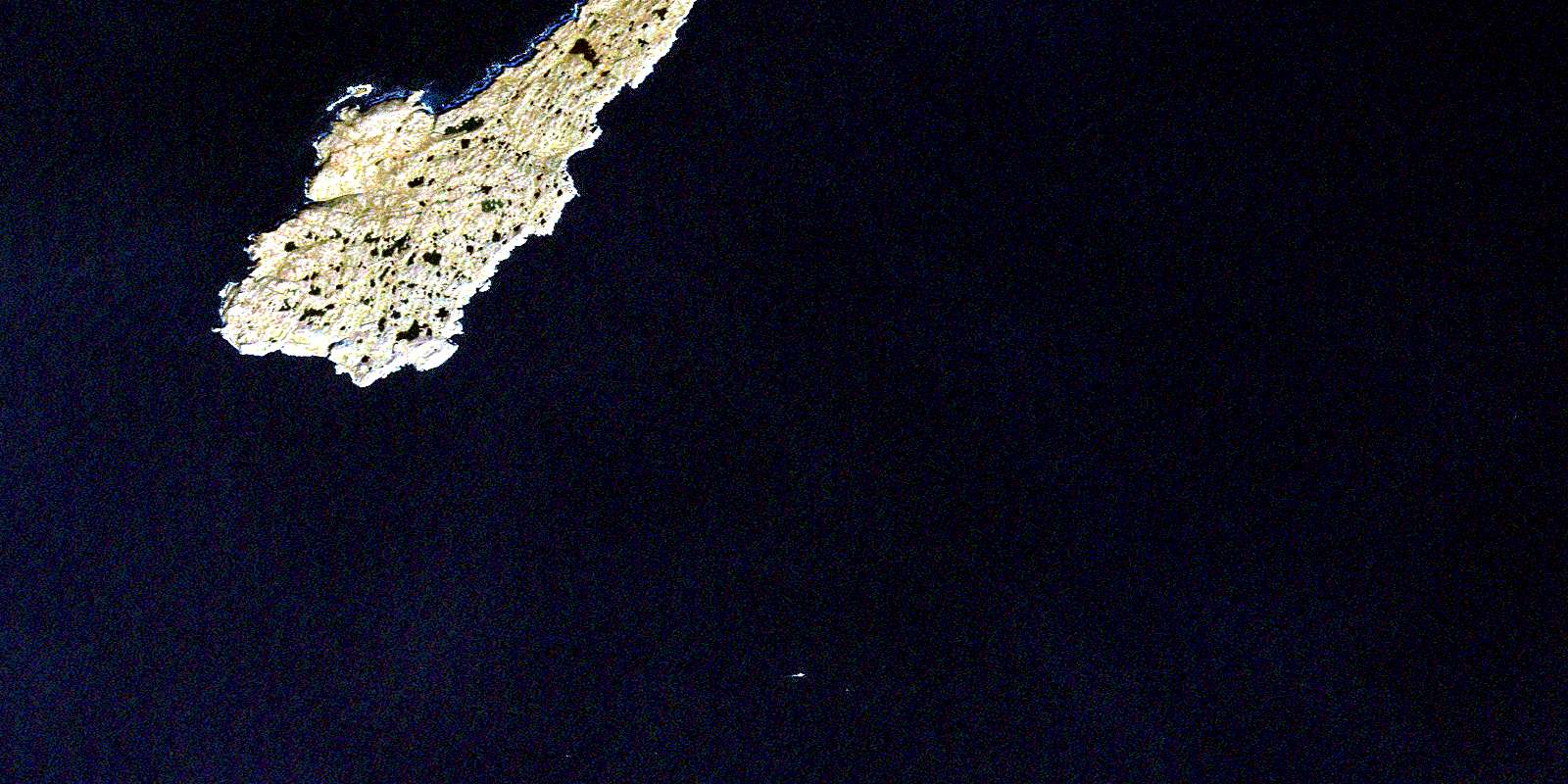
© Department of Natural Resources Canada. All rights reserved.
