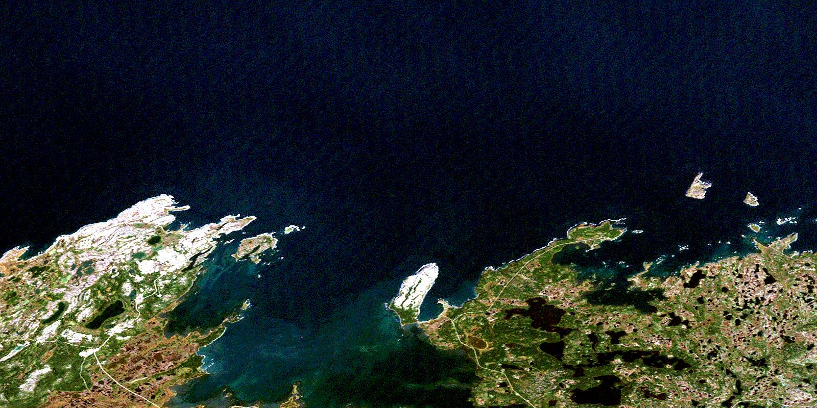
Raleigh Satellite Image Map
Download Free Aerial Photo 002M12 at 1:50,000 scale
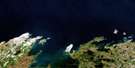
Raleigh Satellite Imagery
To view this satellite map, mouse over the air photo on the right.
You can also download this satellite image map for free:
002M12 Raleigh high-resolution satellite image map.
Maps for the Raleigh aerial map sheet 002M12 at 1:50,000 scale are also available in these versions:
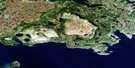
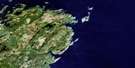
Raleigh Surrounding Area Aerial Photo Maps
 |
 |
||
 |
 |
||
 |
|||
 |
© Department of Natural Resources Canada. All rights reserved.
Raleigh Gazetteer
The following places can be found on satellite image map 002M12 Raleigh:
Raleigh Satellite Image: Bays
Barr Island CoveBoat Harbour
Bonne Bay
Cailloux Bay
Canards Cove
Cape Norman Bay
Carpon Cove
Christine Cove
Cooks Harbour
Diable Cove
Epaves Bay
Flat Cove
Ha Ha Bay
Hay Cove
Islands Bay
Isthmus Cove
L'Anse aux Meadows
Little Harbour
Maria Bay
Marie Cove
Medee Bay
Neige Bay
Northwest Bay
Onion Cove
Open Bay
Pistolet Bay
Pond Cove
River Bay
Rudder Cove
Sacred Bay
Savage Cove
Savage Cove
Schooner Cove
Shallow Bay
Soup Bay
South Road
Square Bay
West Road
Raleigh Satellite Image: Capes
Beak PointBoat Head
Burnt Cape
Cape Ardoise
Cape Artimon
Cape Norman
Cape Onion
Cooks Point
Curlew Point
Falaise Point
Fauvette Point
Franche Point
Gray Point
Ha Ha Point
Hamel Point
Isthmus Point
Long Point
Milan Point
Piton Point
Triangle Point
Trompe l'Oeil Point
Vaches (Cow) Point
Whale Point
Raleigh Satellite Image: Caves
Whale CaveRaleigh Satellite Image: Channels
Boat ChannelDétroit de Belle Isle
Raleigh Satellite Image: Cliffs
The MewstoneRaleigh Satellite Image: Islands
Black IslandBlack Island
Boisee Islands
Burnt Island
Fauvette Island
Great Sacred Island
Green Island
Green Island
Green Island
Hostis Island
Little Sacred Island
Long Island
Low Islands
Moyacs Islands
Onion Island
Prosper Island
Schooner Island
Twin Islands
Verte Island
Warrens Island
Wreck Island
Raleigh Satellite Image: Lakes
Black Duck PondButts Pond
Crooked Lead Pond
Duck Pond
Duck Pond
Eastern Brook Steady
Eastern Pond
Gap Pond
Gull Pond
Island Pond
John Ryans Pond
Lead Pond
Long Gull Pond
Long Pond
Mouse Hole Pond
Otter Pond
Parkers Pond
Salt Lake
Seamans Pond
Second Pond
Stinker Pond
Third Pond
Trout Pond
Watch Pond
Raleigh Satellite Image: Mountains
Ha Ha MountainRaleigh Satellite Image: Conservation areas
Burnt Cape Ecological ReserveL'Anse aux Meadows National Historic Site of Canada
L'Anse aux Meadows National Historic Site World Heritage Site
Lieu historique national duCanada de L'Anse aux Meadows
Pistolet Bay Provincial Park
Site du patrimoine mondial du Lieu historique national de L'Anse aux Meadows
Raleigh Satellite Image: Rivers
Black Duck BrookLake River
Raleigh Satellite Image: Shoals
Barracks RocksBon Gars
Cooks Rocks
Flat Rock
Green Island Shoal
Le Grand Mulou
Le Grand Mulou
Maria Reefs
Maudit Bank
Mauvais Gars
Norman Rock
Petit Gars
Priest Rock
Raleigh Satellite Image: Towns
Cook's HarbourRaleigh
St. Lunaire-Griquet
Raleigh Satellite Image: Unincorporated areas
Boat HarbourCape Norman
Cape Onion
Caplin Gulch
Cooks Harbour
L'Anse aux Meadows
L'Anse-au-Meadow
North Boat Harbour
Ship Cove
Spillar's Cove
Wild Bight
© Department of Natural Resources Canada. All rights reserved.
