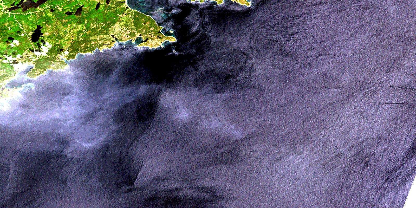
Louisbourg Satellite Image Map
Download Free Aerial Photo 011G13 at 1:50,000 scale
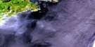
Louisbourg Satellite Imagery
To view this satellite map, mouse over the air photo on the right.
You can also download this satellite image map for free:
011G13 Louisbourg high-resolution satellite image map.
Maps for the Louisbourg aerial map sheet 011G13 at 1:50,000 scale are also available in these versions:
Louisbourg Surrounding Area Aerial Photo Maps
 |
|||
© Department of Natural Resources Canada. All rights reserved.
Louisbourg Gazetteer
The following places can be found on satellite image map 011G13 Louisbourg:
Louisbourg Satellite Image: Bays
Anse aux CannesBaleine Cove
Baleine Harbour
Big Cove
Big Lorraine Harbour
Broad Cove
Brook Landing Cove
Captains Cove
Church Cove
Church Cove
East White Point Cove
Fluke Cove
Flukes Head Cove
Gabarus Bay
Gooseberry Cove
Gun Landing Cove
Hammer Head Cove
Herring Cove
Kelpy Cove
Landing Cove
Landing Cove
Lighthouse Cove
Little Lorraine Harbour
Louisbourg Harbour
Louisburg Harbour
Mainadieu Bay
Main-à-Dieu Bay
Moneyhunters Cove
Morning Star Cove
Northeast Arm
Pigeon Head Cove
Pilots Cove
Ragged Rocks Cove
Sandy Cove
Sawpit Cove
Scotts Cove
Southwest Arm
Tin Cove
Tuttys Cove
West White Point Cove
Wild Cove
Louisbourg Satellite Image: Beaches
Battery Island BreakersHatchs Rock Breaker
Main-à-Dieu Shore
Southwest Breaker
The Bar
The Thoroughfare
Louisbourg Satellite Image: Capes
Baleine HeadBar Point
Battery Point
Black Head
Blackrock Point
Broad Cove Head
Cape Breton
Careening Point
Convict Point
East Head
Eastern Gun Landing Cove Head
Eastern Point of Lorraine Head
Fluke Head
Flukes Head
Gerards Head
Gerratt Head
Hammer Head
Howe Point
Hummocky Point
Lighthouse Point
Little Lorraine Head
Lorraine Head
Middle Neck
Nag Head
Nags Head
Nichols Point
Old Railway Point
Pigeon Head
Pigeon Point
Point Roche
Rochefort Point
Russell Point
Tin Cove Head
Tweedies Point
Western Gun Landing Cove Head
White Point
Williams Head
Louisbourg Satellite Image: Channels
Bogus HoleGrenadiers Channel
Mainadieu Passage
Main-à-Dieu Passage
Louisbourg Satellite Image: Cliffs
Lighthouse CliffLouisbourg Satellite Image: Geographical areas
Cape BretonLouisbourg Satellite Image: Islands
Battery IslandCape Breton Island
Green Island
Ile aux Cannes
Île du Cap-Breton
Portnova Islands
Rocky Island
Scatari Island
Scatarie Island
Louisbourg Satellite Image: Lakes
Anse aux Cannes PondBear Gulch Ponds
Bennetts Pond
Big Pond
Boom Pond
Campbells Pond
Catalogne Lake
Catalone Lake
Dixons Lake
First Lake
Grand Lake
Johnson Lake
Kennellys Pond
MacVicars Lake
McCrury Lake
McCuishs Lake
McVicker Lake
Second Lake
The Barachois
The Three Ponds
Third Lake
Willetts Pond
Louisbourg Satellite Image: Mountains
Lee HillLouisbourg Satellite Image: Major municipal/district area - major agglomerations
Cape BretonLouisbourg Satellite Image: Conservation areas
Fortress of Louisbourg National Historic Site of CanadaLieu historique national du Canada de la Batterie-Royale
Lieu historique national du Canada de la Forteresse-de-Louisbourg
Royal Battery National Historic Site of Canada
Louisbourg Satellite Image: Rivers
Catalogne RiverCatalone River
Gerald Brook
Gerard Brook
Gerards Brook
Gerratt Brook
Long Bridge Brook
Lorraine Brook
MacIntyre Brook
McIntyre Brook
Mill Brook
Nicholas Brook
School Brook
Six Mile Brook
Three Ponds Brook
Louisbourg Satellite Image: Shoals
Anse aux Cannes HoleBall Rock
Ball Rock Shoal
Bar Reef
Barstone
Battery Shoal
Black Rock
Black Rock
Black Rock Shoal
Black Rocks
Burkes Rock
Chameau Rock
Crows Roost
Curdo Bank
Gull Rock
Harbour Shoal
Hatch Rocks
Hatchet Rocks
Hatchs Rocks
Helen Rock
John Harts Rock
Lighthouse Rock
Long Rock
Lorraine Rock
Mackerel Rock
Mad Moll
Man of War Rocks
Middleground Shoal
Mussel Ridge Rock
Nag Rock
Nags Rock
Pats Hole
Pot Rock
Ragged Rocks
Russell Point Shoals
Salmon Rock
Shag Rock
Shag Roost
The Bar
The Friar
The Sisters
The Whalesback
Wakes Rock
Whale Rock
White Rock
Wild Cove Shoal
Wildcove Shoal
Louisbourg Satellite Image: Towns
LouisburgLouisbourg Satellite Image: Unincorporated areas
BaleineBig Lorraine
Catalone
Catalone Road
Havenside
Little Lorraine
Louisbourg
Louisbourg Road
Louisburg Road
© Department of Natural Resources Canada. All rights reserved.
