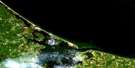
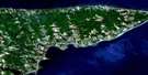
Boughton Island Satellite Image Map
Download Free Aerial Photo 011L01 at 1:50,000 scale
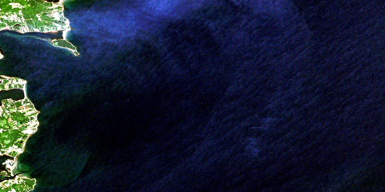
Boughton Island Satellite Imagery
To view this satellite map, mouse over the air photo on the right.
You can also download this satellite image map for free:
011L01 Boughton Island high-resolution satellite image map.
Maps for the Boughton Island aerial map sheet 011L01 at 1:50,000 scale are also available in these versions:
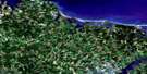
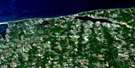
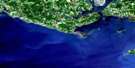
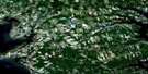
Boughton Island Surrounding Area Aerial Photo Maps
 |
|||
 |
 |
 |
 |
 |
 |
 |
 |
© Department of Natural Resources Canada. All rights reserved.
Boughton Island Gazetteer
The following places can be found on satellite image map 011L01 Boughton Island:
Boughton Island Satellite Image: Bays
Boughton BayCardigan Bay
Golfe du Saint-Laurent
Gulf of St. Lawrence
Launching Bay
MacHerrons Creek
MacPhersons Cove
McPherson Cove
Murray Harbour
Oyster Creek
Reynolds Creek
St. Mary Bay
St. Marys Bay
Boughton Island Satellite Image: Beaches
Mosquito SandsPoverty Beach
Boughton Island Satellite Image: Capes
Beach PointBoughton Point
Boughton Spit
Bruce Point
Burnt Point
Cape Bear
Cape Sharp
Cardigan Point
Cody Point
Cody Point
Des Barres Point
DesBarres Point
Graham Point
Hicken Point
Irvine Point
Irvings Cape
Irvings Point
Launching Point
Murray Head
Old Ferry Spit
Oldstore Point
Panmure Head
Penny Point
Red Head
Red Point
Sable Point
Smith Point
Solander Point
Terras Point
Boughton Island Satellite Image: Channels
Détroit de NorthumberlandNorthumberland Strait
Boughton Island Satellite Image: Geographical areas
KingsLot 54
Lot 55
Lot 63
Boughton Island Satellite Image: Islands
Boughton IslandGordons Island
Launching Island
Murray Islands
Panmure Island
Prince Edward Island
Boughton Island Satellite Image: Lakes
Condons PondGaspereaux Pond
Graham Pond
Launching Pond
Little Pond
MacLures Pond
MacPhersons Pond
Morrison Pond
Steeles Pond
Boughton Island Satellite Image: Conservation areas
Panmure Island Provincial ParkBoughton Island Satellite Image: Provinces
Île-du-Prince-ÉdouardPrince Edward Island
Boughton Island Satellite Image: Rivers
Black CreekBoughton River
Dirty River
Dunns Creek
Mosquito Creek
Seal River
Boughton Island Satellite Image: Shoals
Bear ReefBoughton Ledge
Cardigan Shoal
Fishermans Bank
Graham Ledge
Panmure Ledge
Panmure Shoal
Boughton Island Satellite Image: Unincorporated areas
Beach PointBoughton Island
De Gros Marsh
DeGros Marsh
Gaspereaux
Launching Place
Murray Harbour North
Panmure Island
Pembroke
Boughton Island Satellite Image: Low vegetation
De Gros MarshDeGros Marsh
© Department of Natural Resources Canada. All rights reserved.
