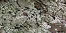
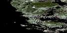
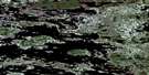
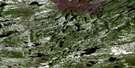
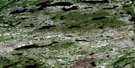
Bibikwasin Lake Satellite Image Map
Download Free Aerial Photo 013L07 at 1:50,000 scale
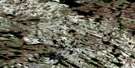
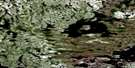
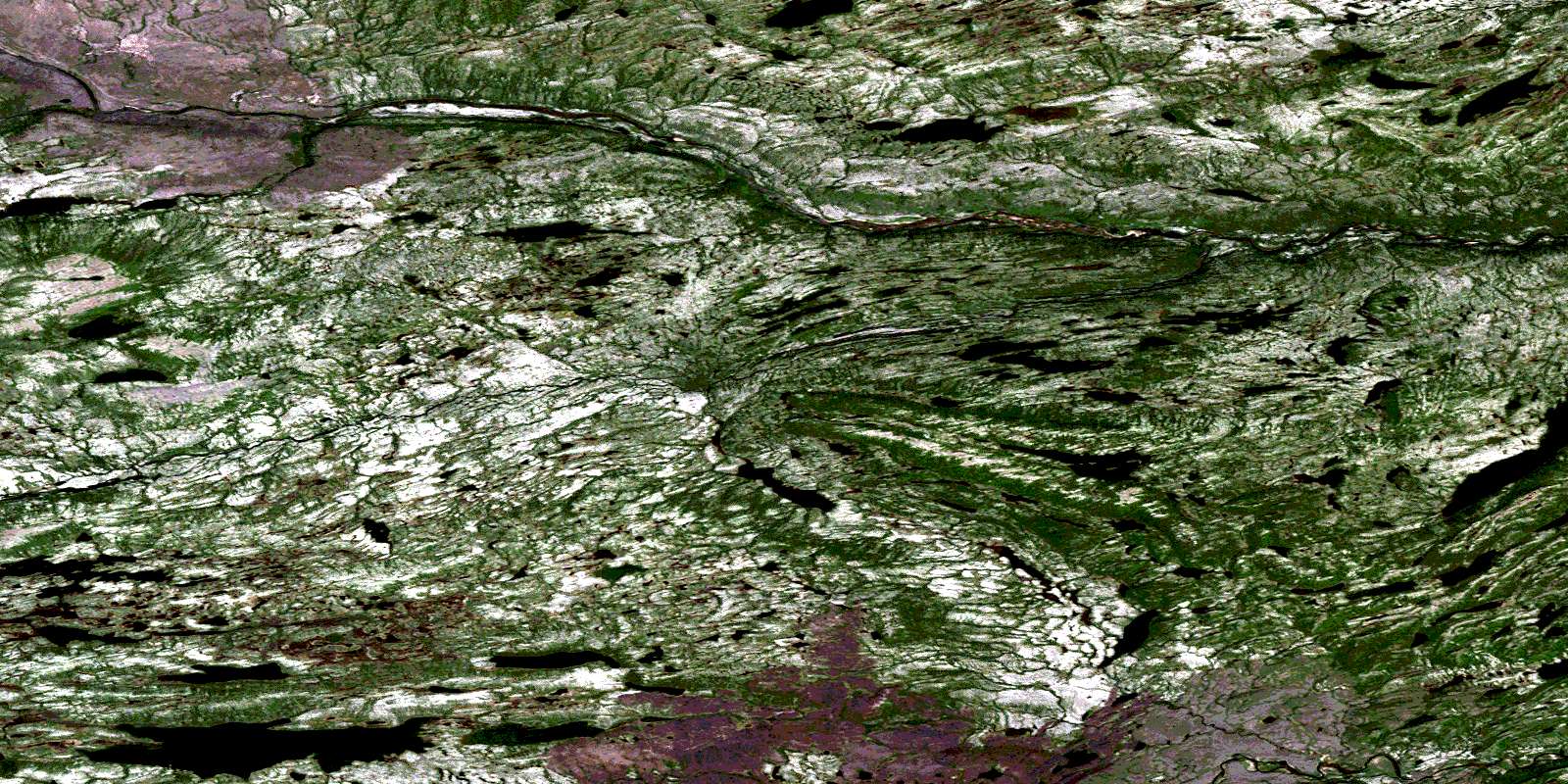
Bibikwasin Lake Satellite Imagery
To view this satellite map, mouse over the air photo on the right.
You can also download this satellite image map for free:
013L07 Bibikwasin Lake high-resolution satellite image map.
Maps for the Bibikwasin Lake aerial map sheet 013L07 at 1:50,000 scale are also available in these versions:
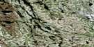
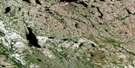
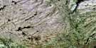
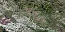
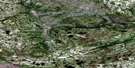
Bibikwasin Lake Surrounding Area Aerial Photo Maps
 |
 |
 |
 |
 |
 |
 |
 |
 |
 |
 |
 |
 |
 |
 |
 |
© Department of Natural Resources Canada. All rights reserved.
Bibikwasin Lake Gazetteer
The following places can be found on satellite image map 013L07 Bibikwasin Lake:
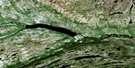
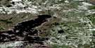
Bibikwasin Lake Satellite Image: Lakes
Bibikwasin LakeBlake Lake
Desolation Lake
Hall Lake
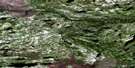
Bibikwasin Lake Satellite Image: Mountains
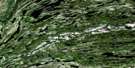
Rainbow HillBibikwasin Lake Satellite Image: Rivers
Desolation RiverKanairiktok River
Naskaupi River
© Department of Natural Resources Canada. All rights reserved.
013L Related Maps:
013L Red Wine Lake013L01 No Title
013L02 Isabella Falls
013L03E Fremont Lake
013L03W Fremont Lake
013L04E Agnes Lake
013L04W Agnes Lake
013L05E Fraser Lake
013L05W Fraser Lake
013L06 Proof Lake
013L07 Bibikwasin Lake
013L08 No Title
013L09 Shipiskan Lake
013L10 No Title
013L11 Fazy Lake
013L12 Spot Lake
013L13 Ethyl Lake
013L14 Main Lake
013L15 No Title
013L16 No Title
