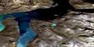
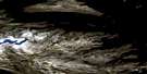
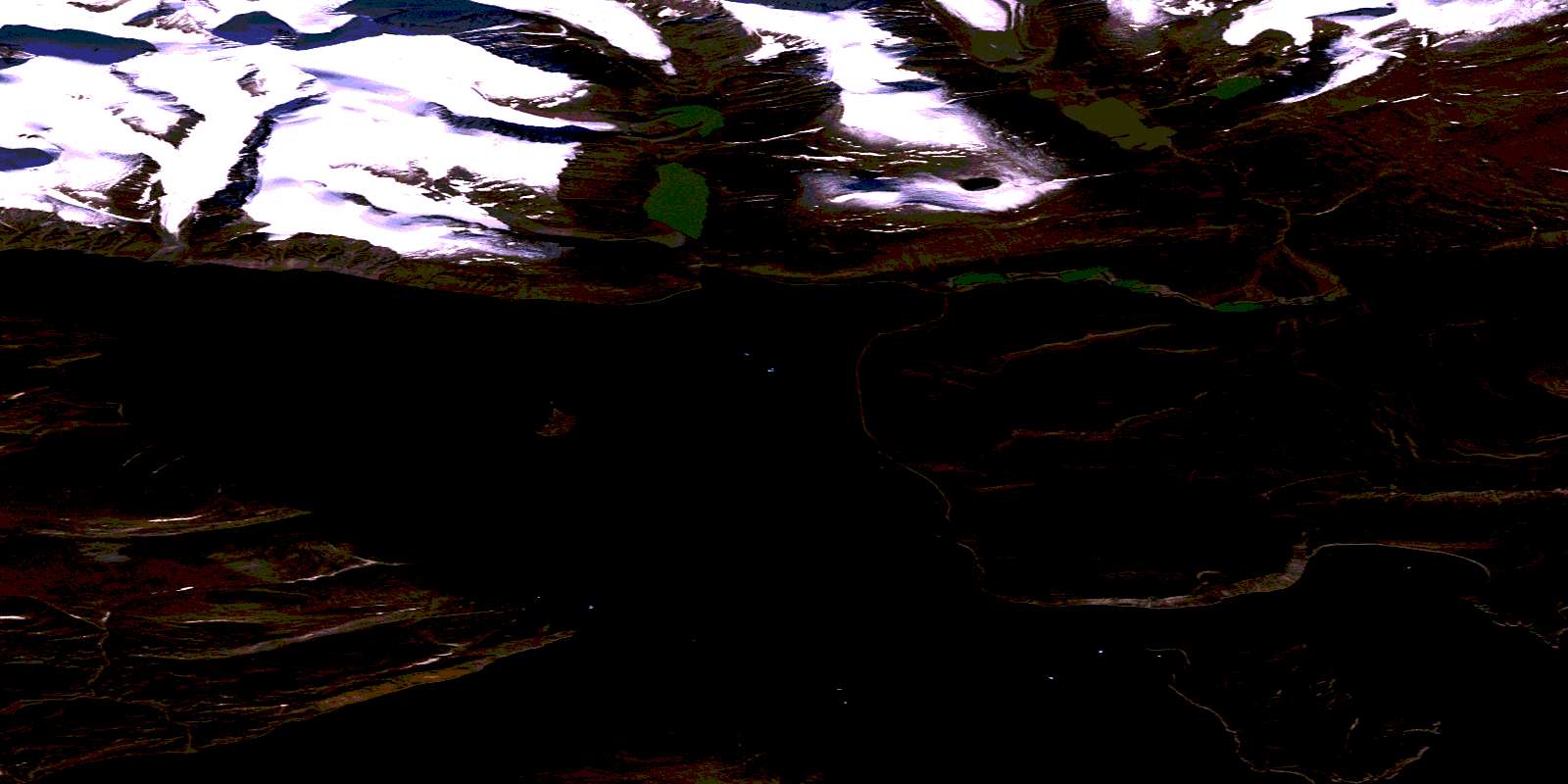
Mount Mischief Satellite Image Map
Download Free Aerial Photo 016L08 at 1:50,000 scale
Mount Mischief Satellite Imagery
To view this satellite map, mouse over the air photo on the right.
You can also download this satellite image map for free:
016L08 Mount Mischief high-resolution satellite image map.
Maps for the Mount Mischief aerial map sheet 016L08 at 1:50,000 scale are also available in these versions:
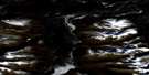
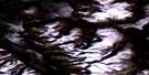
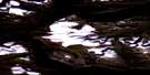
Mount Mischief Surrounding Area Aerial Photo Maps
 |
 |
 |
|
 |
|||
 |
 |
© Department of Natural Resources Canada. All rights reserved.
Mount Mischief Gazetteer
The following places can be found on satellite image map 016L08 Mount Mischief:
Mount Mischief Satellite Image: Bays
Totnes RoadMount Mischief Satellite Image: Capes
Cumberland PeninsulaMount Mischief Satellite Image: Channels
Exeter SoundMount Mischief Satellite Image: Glaciers
Mischief GlacierRaleigh Glacier
White Wind Glacier
Mount Mischief Satellite Image: Islands
Baffin IslandÎle de Baffin
Mount Mischief Satellite Image: Mountains
Fantasy PeakMount Mischief
White Wind Peak
© Department of Natural Resources Canada. All rights reserved.
