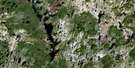
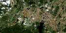
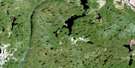
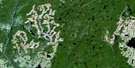
Lac Machisque Satellite Image Map
Download Free Aerial Photo 022L13 at 1:50,000 scale
Lac Machisque Satellite Imagery
To view this satellite map, mouse over the air photo on the right.
You can also download this satellite image map for free:
022L13 Lac Machisque high-resolution satellite image map.
Maps for the Lac Machisque aerial map sheet 022L13 at 1:50,000 scale are also available in these versions:
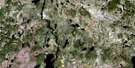
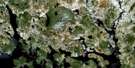
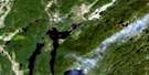
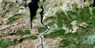
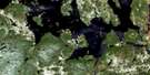
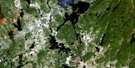
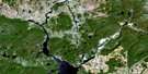
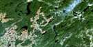
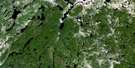
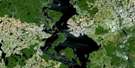
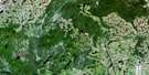
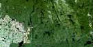
Lac Machisque Surrounding Area Aerial Photo Maps
 |
 |
 |
 |
 |
 |
 |
 |
 |
 |
 |
 |
 |
 |
 |
 |
© Department of Natural Resources Canada. All rights reserved.
Lac Machisque Gazetteer
The following places can be found on satellite image map 022L13 Lac Machisque:
Lac Machisque Satellite Image: Lakes
Lac BerthierLac Charlotte
Lac Cyrille
Lac Diane
Lac Donat
Lac Émile
Lac en Serre
Lac Ford
Lac Gaétane
Lac Gazeau
Lac Gérard
Lac Gibus
Lac Gino
Lac Guay
Lac Haricot
Lac Ivanhoé
Lac Machisque
Lac Marabout
Lac Monroe
Lac Olga
Lac Orieux
Lac Pierrot
Lac Pontiac
Lac Rachel
Lac Rigolo
Lac Tigre
Lac Victor
Lac Machisque Satellite Image: Rivers
Rivière Mistassibi Nord-Est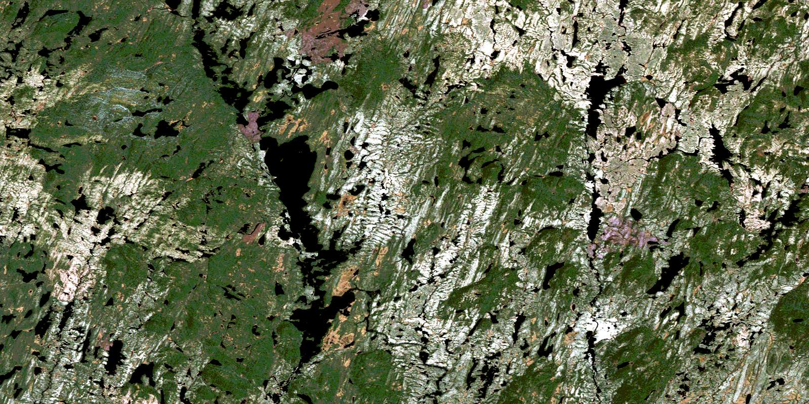
© Department of Natural Resources Canada. All rights reserved.
022L Related Maps:
022L Lac Peribonca022L01 Lac Gommard
022L02 Riviere Durfort
022L03 Lac Peribonca
022L04 Lac A La Pluie
022L05 Lac Maupertuis
022L06 Riviere Cocoumenen
022L07 Lac Eluard
022L08 Lac Du Raccourci
022L09 Lac Des Prairies
022L10 Grande Baie
022L11 Lac Onistagane
022L12 Lac Piraube
022L13 Lac Machisque
022L14 Lac Le Bausais
022L15 Baie Bellevue
022L16 Lac Manouanis
