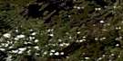
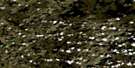
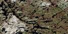
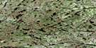
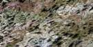
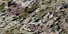
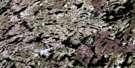
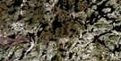
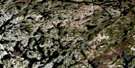
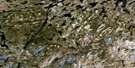
Satellite Image Map
Download Free Aerial Photo 023F13 at 1:50,000 scale
Satellite Imagery
To view this satellite map, mouse over the air photo on the right.
You can also download this satellite image map for free:
023F13 high-resolution satellite image map.
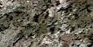
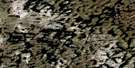
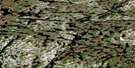
Maps for the aerial map sheet 023F13 at 1:50,000 scale are also available in these versions:
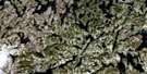
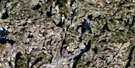
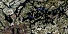
Surrounding Area Aerial Photo Maps
 |
 |
 |
 |
 |
 |
 |
 |
 |
 |
 |
 |
 |
 |
 |
 |
© Department of Natural Resources Canada. All rights reserved.
Gazetteer
The following places can be found on satellite image map 023F13 :
Satellite Image: Islands
L'Ange du MatinLe Jardin au Bout du Monde
L'Espace d'un Destin
L'Herbe Rebelle
L'Incroyable Odyssée
Satellite Image: Lakes
Lac BeaumanoirLac Caniapiscau
Lac Chatenay
Lac Chaumont
Lac du Château
Lac Icebound
Lac Le Grand
Lac Wauguash
Réservoir de Caniapiscau

© Department of Natural Resources Canada. All rights reserved.
023F Related Maps:
023F Lac Bermen023F01 Lac Jaquis
023F02 Lac Mercator
023F03 Lac Delmothe
023F04 Lac Bruyeres
023F05 Lac Devannes
023F06 Lac Ternay
023F07 Lac Maggiolo
023F08 Lac Vignal
023F09 Lac Boissier
023F10 Lac Bermen
023F11 Lac Marquiset
023F12 Lac Viau
023F13
023F14 Lac Chastrier
023F15 Lac Sauvageau
023F16 Lac Comte
