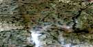
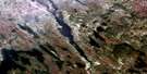
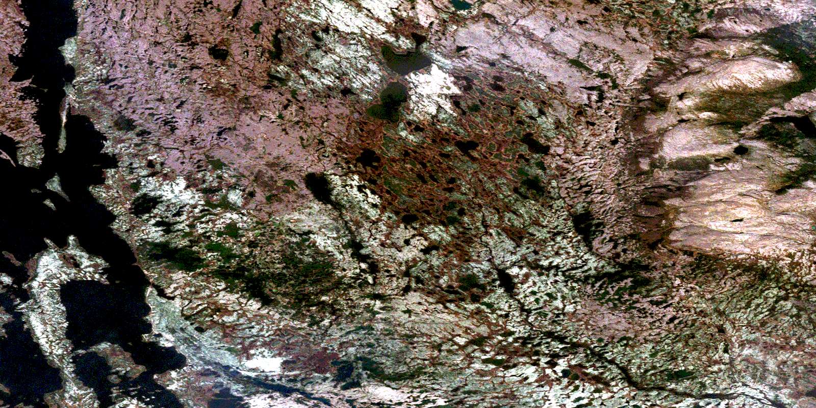
Tamarack River Satellite Image Map
Download Free Aerial Photo 023G16 at 1:50,000 scale
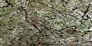
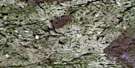
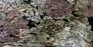
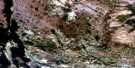
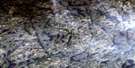
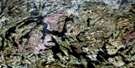
Tamarack River Satellite Imagery
To view this satellite map, mouse over the air photo on the right.
You can also download this satellite image map for free:
023G16 Tamarack River high-resolution satellite image map.
Maps for the Tamarack River aerial map sheet 023G16 at 1:50,000 scale are also available in these versions:
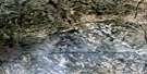
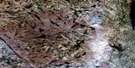
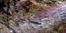
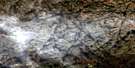
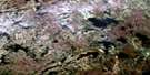
Tamarack River Surrounding Area Aerial Photo Maps
 |
 |
 |
 |
 |
 |
 |
 |
 |
 |
 |
 |
 |
 |
 |
 |
© Department of Natural Resources Canada. All rights reserved.
Tamarack River Gazetteer
The following places can be found on satellite image map 023G16 Tamarack River:
Tamarack River Satellite Image: Bays
Elephant BayLivingston Bay
Shorthorn Bay
Tamarack River Satellite Image: Capes
Esker PointTamarack River Satellite Image: Islands
Rip Rap IslandTamarack River Satellite Image: Lakes
Lewis LakeMenihek Lakes
Tamarack River Satellite Image: Rivers
Ashuanipi RiverColville River
Martin River
Tamarack River
Tamarack River Satellite Image: Unincorporated areas
EskerLivingston
© Department of Natural Resources Canada. All rights reserved.
023G Related Maps:
023G Shabogamo Lake023G01 Wightman Lake
023G02 Wabush Lake
023G03 Lac Montenon
023G04E Lac Opiscotiche
023G04W Lac Opiscotiche
023G05E Lac Kerbodot
023G05W Lac Kerbodot
023G06 Lac Mingre
023G07 Sawbill Lake
023G08 Molson Lake
023G09 Evening Lake
023G10E Rannie Lake
023G10W Rannie Lake
023G11E Lac Bellenger
023G11W Lac Bellenger
023G12E Lac La Jannaye
023G12W Lac La Jannaye
023G13E Lac Descayrac
023G13W Lac Descayrac
023G14E Lac Prat
023G14W Lac Prat
023G15 Milner Lake
023G16 Tamarack River
