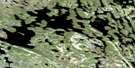
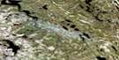
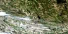
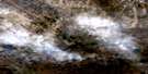
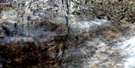
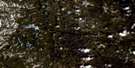
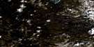
Satellite Image Map
Download Free Aerial Photo 023P02 at 1:50,000 scale
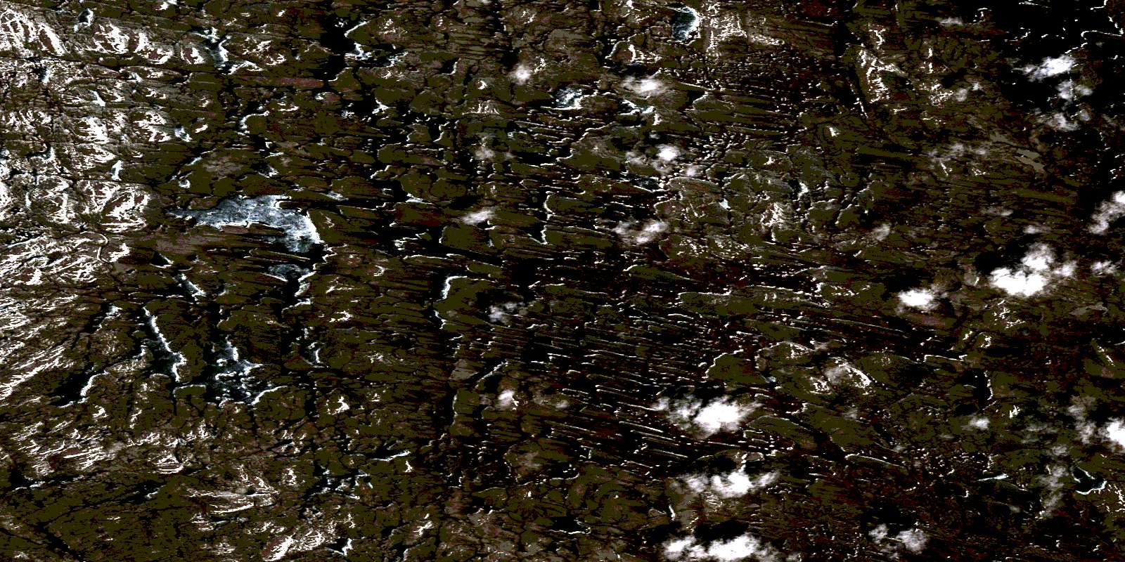
Satellite Imagery
To view this satellite map, mouse over the air photo on the right.
You can also download this satellite image map for free:
023P02 high-resolution satellite image map.
Maps for the aerial map sheet 023P02 at 1:50,000 scale are also available in these versions:
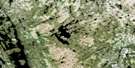
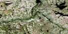
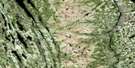
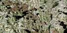
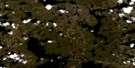
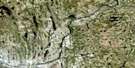
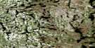
Surrounding Area Aerial Photo Maps
 |
 |
 |
 |
 |
 |
 |
 |
 |
 |
 |
 |
 |
 |
 |
 |
© Department of Natural Resources Canada. All rights reserved.
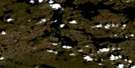
Gazetteer
The following places can be found on satellite image map 023P02 :
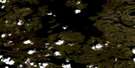
Satellite Image: Lakes
Kakatshu ShakahikanLac Merville
Lac Resolution
Lac Résolution
© Department of Natural Resources Canada. All rights reserved.
023P Related Maps:
023P Lac Resolution023P01 Lac Lacasse
023P02
023P03 Lac Vreisnic
023P04 Lac Griffis
023P05 Lac Deborah
023P06 Lac Grand Rosoy
023P07 Lac Advance
023P08 Lac Raude
023P09 Lac Leif
023P10 Lac Mortrel
023P11 Lac Recouet
023P12 Lac Mccabe
023P13 Lac Champdore
023P14 Lac Tudor
023P15
023P16 Lac Bjarni
