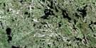
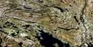
Lac Dunphy Satellite Image Map
Download Free Aerial Photo 024B04 at 1:50,000 scale
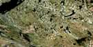
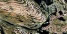
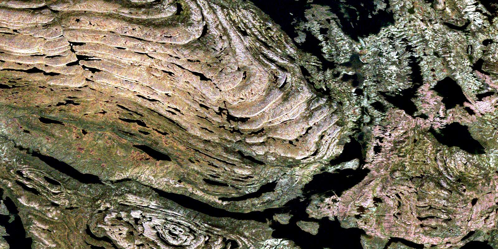
Lac Dunphy Satellite Imagery
To view this satellite map, mouse over the air photo on the right.
You can also download this satellite image map for free:
024B04 Lac Dunphy high-resolution satellite image map.
Maps for the Lac Dunphy aerial map sheet 024B04 at 1:50,000 scale are also available in these versions:
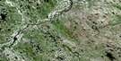
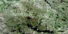
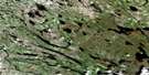
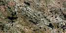
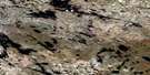
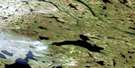
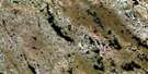
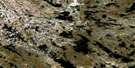
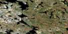
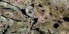
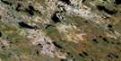
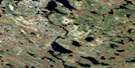
Lac Dunphy Surrounding Area Aerial Photo Maps
 |
 |
 |
 |
 |
 |
 |
 |
 |
 |
 |
 |
 |
 |
 |
 |
© Department of Natural Resources Canada. All rights reserved.
Lac Dunphy Gazetteer
The following places can be found on satellite image map 024B04 Lac Dunphy:
Lac Dunphy Satellite Image: Bays
Anse RisillyBaie Septentrionale
Lac Dunphy Satellite Image: Capes
Pointe aux BouleauxPointe Vaudry
Lac Dunphy Satellite Image: Lakes
Lac BriscanLac Dantin
Lac Dunphy
Lac Effiat
Lac Foisy
Lac Larabel
Lac Ledran
Lac Lonière
Lac Maugue
Lac Milamar
Lac Nachicopi
Lac Paillart
Lac Pascaud
Lac Romanet
Lac Wilsie
Petit lac Dunphy
Lac Dunphy Satellite Image: Rivers
Rivière KapitachuwachRivière Wheeler
© Department of Natural Resources Canada. All rights reserved.
024B Related Maps:
024B Lac Jeannin024B01 Lac Payant
024B02 Lac Beaufort
024B03 Lac Gachet
024B04 Lac Dunphy
024B05 Lac Veillard
024B06 Lac Duhamel
024B07 Lac Saint-Servan
024B08 Lac Serre
024B09 Lac Ninawawe
024B10 Lac Morel
024B11 Lac Wheeler
024B12 Lac Horseshoe
024B13 Lac Brissac
024B14 Lac Lhande
024B15 Lac Loquin
024B16 Lac Uzureau
