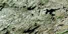
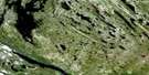
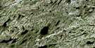
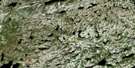
Satellite Image Map
Download Free Aerial Photo 024C04 at 1:50,000 scale
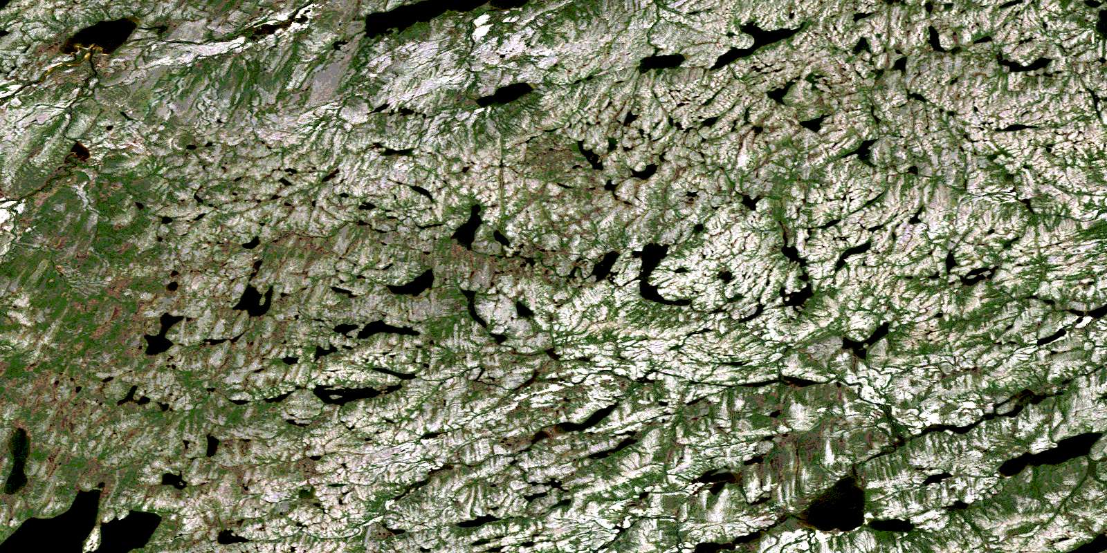
Satellite Imagery
To view this satellite map, mouse over the air photo on the right.
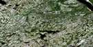
You can also download this satellite image map for free:
024C04 high-resolution satellite image map.
Maps for the aerial map sheet 024C04 at 1:50,000 scale are also available in these versions:
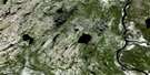
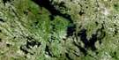
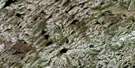
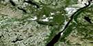
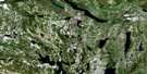
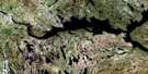
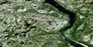
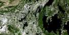
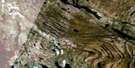
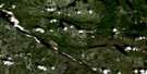
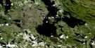
Surrounding Area Aerial Photo Maps
 |
 |
 |
 |
 |
 |
 |
 |
 |
 |
 |
 |
 |
 |
 |
 |
© Department of Natural Resources Canada. All rights reserved.
Gazetteer
The following places can be found on satellite image map 024C04 :
Satellite Image: Lakes
Lac GerzineLac Linda
Lac Pons
Lac Waunusiwau
Lac Wawiyusi Anatwayach
Satellite Image: Rivers
Rivière de la MortRivière Death
Rivière Giraud
© Department of Natural Resources Canada. All rights reserved.
024C Related Maps:
024C Lac Cambrien024C01 Lac Otelnuk
024C02 Lac Lace
024C03
024C04
024C05 Lac De Noue
024C06 Lac Cambrien
024C07 Lac Castignon
024C08 Lac Mistamisk
024C09 Lac Nachicapau
024C10 Lac Patu
024C11 Chute Aux Schistes
024C12
024C13 Lac Methuselah
024C14 Lac De La Moraine
024C15 Fort-Mackenzie
024C16 Lac Marcel
