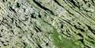
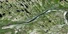
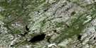
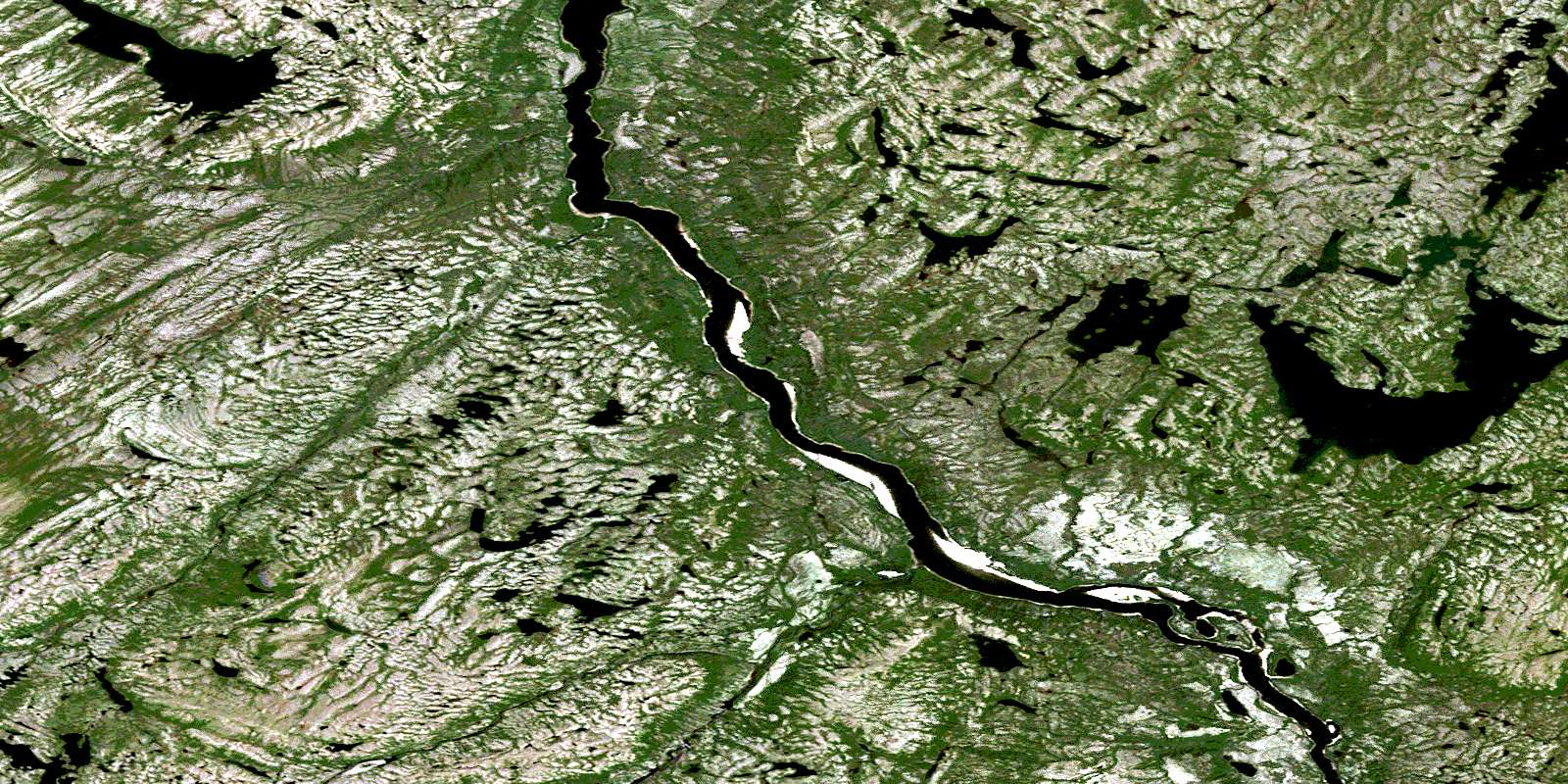
Lac La Lande Satellite Image Map
Download Free Aerial Photo 024F03 at 1:50,000 scale
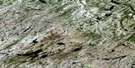
Lac La Lande Satellite Imagery
To view this satellite map, mouse over the air photo on the right.
You can also download this satellite image map for free:
024F03 Lac La Lande high-resolution satellite image map.
Maps for the Lac La Lande aerial map sheet 024F03 at 1:50,000 scale are also available in these versions:
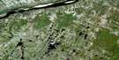
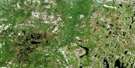
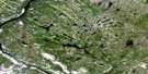
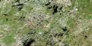
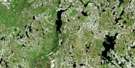
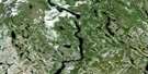
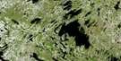
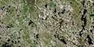
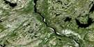
Lac La Lande Surrounding Area Aerial Photo Maps
 |
 |
 |
 |
 |
 |
 |
 |
 |
 |
 |
 |
 |
 |
 |
 |
© Department of Natural Resources Canada. All rights reserved.
Lac La Lande Gazetteer
The following places can be found on satellite image map 024F03 Lac La Lande:
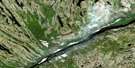
Lac La Lande Satellite Image: Lakes
Lac KanamasuschiLac Kasipwasikan
Lac Kavisialuk
Lac La Lande
Lac Mamikuskatauch
Lac Mikumakuch
Lac Minguarutittalik
Lac Natwayasu
Lac Wolfram
Lac La Lande Satellite Image: Mountains
Abrupt KapikupiyichColline Mausunan
Mont Kaminiskutau
Mont Maskw Kapimutat
Lac La Lande Satellite Image: Other municipal/district area - miscellaneous
Rivière-KoksoakLac La Lande Satellite Image: Rivers
Rivière AndréasRivière Caniapiscau
Lac La Lande Satellite Image: Unincorporated areas
KamitusanikanuchKawasachuun
Kawipapach Michiwap
© Department of Natural Resources Canada. All rights reserved.
024F Related Maps:
024F Lac Herodier024F01 Lac Buteux
024F02 Lac Jogues
024F03E Lac La Lande
024F03W Lac La Lande
024F04 Lac Drumlin
024F05 Lac Forbes
024F06 Lac Du Canyon
024F07 Lac Herodier
024F08 Lac Souel
024F09 Lac Garreau
024F10E Lac Le Mercier
024F10W Lac Le Mercier
024F11 Gorge Du Manitou
024F12 Confluent Kannilirqiq
024F13E Lac Leopard
024F13W Lac Leopard
024F14E Ile Koksoak
024F14W Ile Koksoak
024F15 Lac Scattered
024F16 Lac Du Dome
