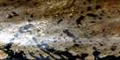
Lake Harbour Satellite Image Map
Download Free Aerial Photo 025K13 at 1:50,000 scale
Lake Harbour Satellite Imagery
To view this satellite map, mouse over the air photo on the right.
You can also download this satellite image map for free:
025K13 Lake Harbour high-resolution satellite image map.
Maps for the Lake Harbour aerial map sheet 025K13 at 1:50,000 scale are also available in these versions:
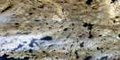
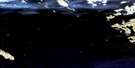
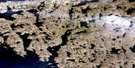
Lake Harbour Surrounding Area Aerial Photo Maps
 |
 |
||
 |
 |
||
© Department of Natural Resources Canada. All rights reserved.
Lake Harbour Gazetteer
The following places can be found on satellite image map 025K13 Lake Harbour:
Lake Harbour Satellite Image: Bays
Anisinnaq InletGlasgow Bay
Glasgow Inlet
Iqaijuq Cove
Lake Harbour
McKellar Bay
North Bay
Pleasant Inlet
Tasseoyak Bay
Lake Harbour Satellite Image: Capes
Cape NovoaCape Sulussugut
Dersch Point
Evee Peninsula
Itinerpik Isthmus
Itinniq Isthmus
Kimmarut Point
Meta Incognita Peninsula
Nascopie Point
Nuvualujjuaq Peninsula
Tikkuut Peninsula
Lake Harbour Satellite Image: Channels
Sealer NarrowsLake Harbour Satellite Image: Hamlets
KimmirutLake Harbour
Lake Harbour Satellite Image: Islands
Glasgow IslandIjjurittiak Island
Uugalautiit Island
Lake Harbour Satellite Image: Lakes
Fundo LakeShoogle Lake
Soper Lake
Tasialujjuaq Lake
Lake Harbour Satellite Image: Mountains
Fleming HillLake Harbour Satellite Image: Rivers
Soper River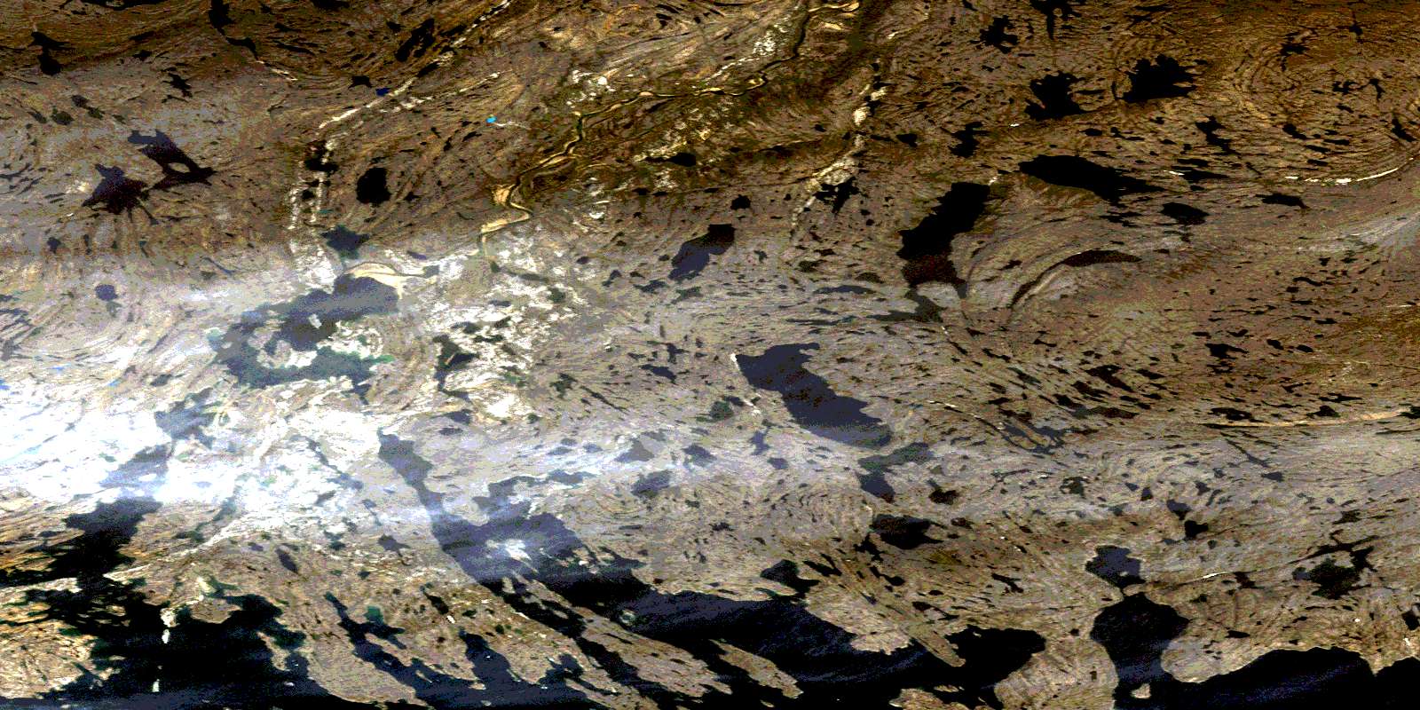
© Department of Natural Resources Canada. All rights reserved.
