Shaftesbury Inlet Satellite Image Map
Download Free Aerial Photo 025K11 at 1:50,000 scale
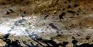
Shaftesbury Inlet Satellite Imagery
To view this satellite map, mouse over the air photo on the right.
You can also download this satellite image map for free:
025K11 Shaftesbury Inlet high-resolution satellite image map.
Maps for the Shaftesbury Inlet aerial map sheet 025K11 at 1:50,000 scale are also available in these versions:
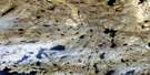
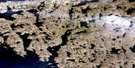
Shaftesbury Inlet Surrounding Area Aerial Photo Maps
 |
 |
||
 |
 |
||
© Department of Natural Resources Canada. All rights reserved.
Shaftesbury Inlet Gazetteer
The following places can be found on satellite image map 025K11 Shaftesbury Inlet:
Shaftesbury Inlet Satellite Image: Bays
Carew BayItivirk Bay
McKellar Bay
Shaftesbury Inlet
Shaftesbury Inlet Satellite Image: Capes
Ayde PointManiittur Cape
Meta Incognita Peninsula
Michael Point
Shaftesbury Inlet Satellite Image: Channels
Détroit d'HudsonHudson Strait
Shaftesbury Inlet Satellite Image: Islands
Fenton IslandsHare Islet
Juet Island
Sentry Islet
Shaftesbury Inlet Satellite Image: Mountains
Mount Chaunsler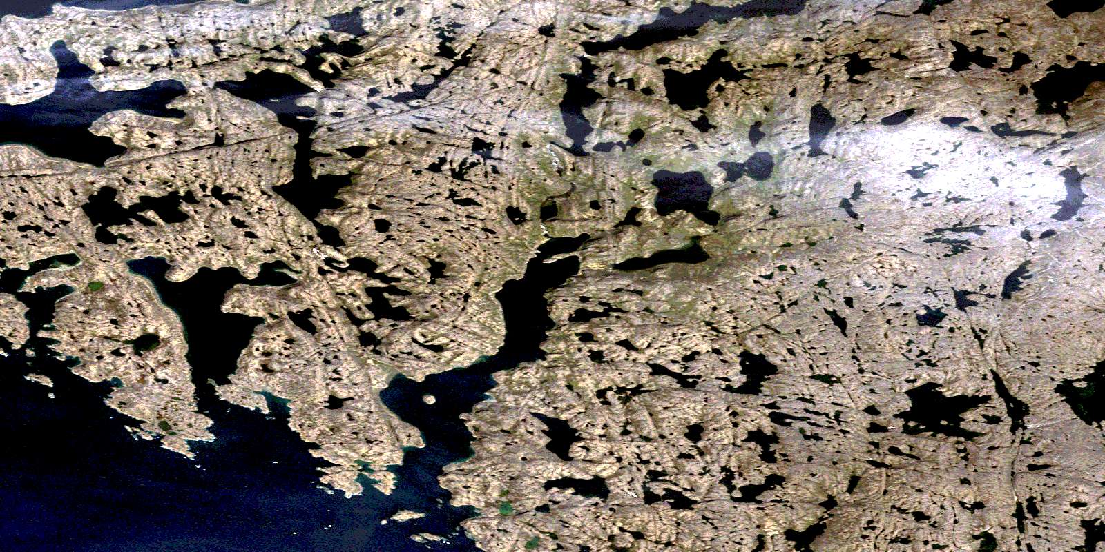
© Department of Natural Resources Canada. All rights reserved.
