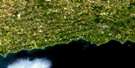
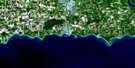
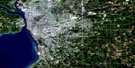
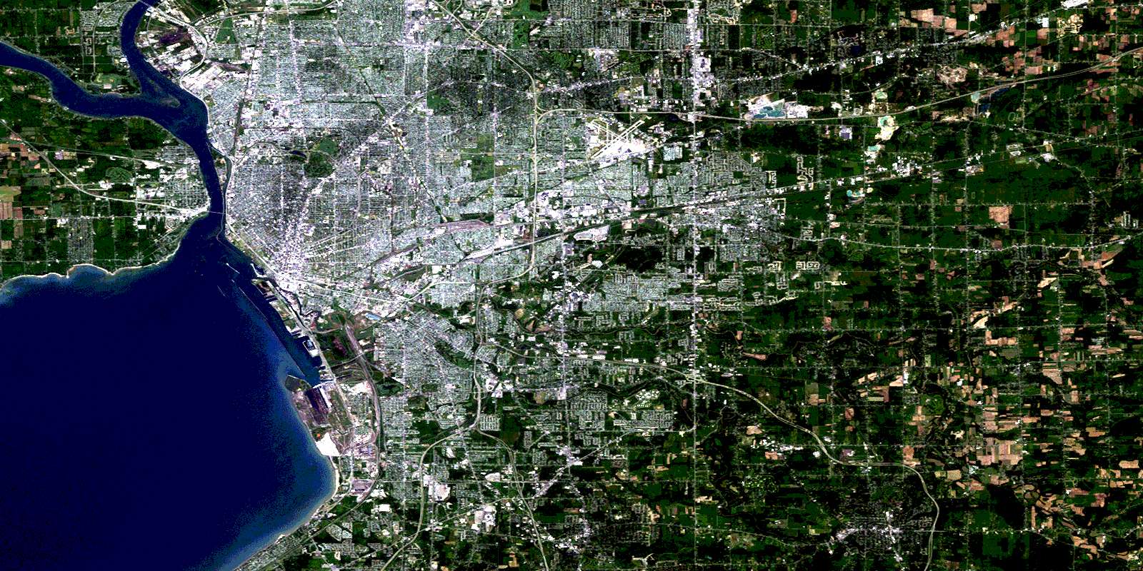
Fort Erie Satellite Image Map
Download Free Aerial Photo 030L15 at 1:50,000 scale
Fort Erie Satellite Imagery
To view this satellite map, mouse over the air photo on the right.
You can also download this satellite image map for free:
030L15 Fort Erie high-resolution satellite image map.
Maps for the Fort Erie aerial map sheet 030L15 at 1:50,000 scale are also available in these versions:
Fort Erie Surrounding Area Aerial Photo Maps
 |
 |
 |
|
© Department of Natural Resources Canada. All rights reserved.
Fort Erie Gazetteer
The following places can be found on satellite image map 030L15 Fort Erie:
Fort Erie Satellite Image: Bays
Bertie BayFort Erie Satellite Image: Beaches
Crescent BeachErie Beach
Fort Erie Satellite Image: Capes
Niagara PeninsulaFort Erie Satellite Image: Geographical areas
BertieFort Erie Satellite Image: Hydraulic construction
Kraft DrainFort Erie Satellite Image: Lakes
Lac ÉriéLake Erie
Fort Erie Satellite Image: Major municipal/district area - major agglomerations
NiagaraFort Erie Satellite Image: Other municipal/district area - miscellaneous
BertieWilloughby
Fort Erie Satellite Image: Provinces
OntarioFort Erie Satellite Image: Rivers
Baker CreekChippawa Channel
Frenchman Creek
Frenchman's Creek
Miller Creek
Niagara River
Rivière Niagara
Fort Erie Satellite Image: Shoals
Horseshoe ReefLimekiln Reef
Roses Reef
Waverly Shoal
Fort Erie Satellite Image: Towns
BridgeburgFort Erie
Fort Erie Satellite Image: Unincorporated areas
Amigari DownsBertie Bay
Buffalo Heights
Crescent Beach
Crescent Park
Crescent Park
Duffy
Edgewood Park
Erie Beach
Fort Erie Beach
Fort Erie North
Fort Erie West
Lakeshore
Niagara Junction
Old Fort Erie
Rose Hill Estates
Waverly Beach
Fort Erie Satellite Image: Villages
Crystal BeachInternational Bridge
Waterloo
© Department of Natural Resources Canada. All rights reserved.
