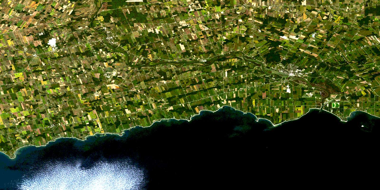
Dunnville Satellite Image Map
Download Free Aerial Photo 030L13 at 1:50,000 scale
Dunnville Satellite Imagery
To view this satellite map, mouse over the air photo on the right.
You can also download this satellite image map for free:
030L13 Dunnville high-resolution satellite image map.
Maps for the Dunnville aerial map sheet 030L13 at 1:50,000 scale are also available in these versions:
Dunnville Surrounding Area Aerial Photo Maps
 |
 |
 |
|
© Department of Natural Resources Canada. All rights reserved.
Dunnville Gazetteer
The following places can be found on satellite image map 030L13 Dunnville:
Dunnville Satellite Image: Bays
Connor BayLong Point Bay
Miller Bay
Mohawk Bay
Splatt Bay
Dunnville Satellite Image: Capes
Blott PointEvans Point
Featherstone Point
Grant Point
Hoover Point
Low Point
Miller Point
Niagara Peninsula
Peacock Point
Rock Point
Rockhouse Point
Dunnville Satellite Image: City
HaldimandHaldimand County
Nanticoke
Dunnville Satellite Image: Geographical areas
BrantCaistor
Canborough
Cayuga
Dunn
Gainsborough
Haldimand
Lincoln
Moulton
North Cayuga
Oneida
Rainham
Seneca
Sherbrooke
South Cayuga
Wainfleet
Walpole
Dunnville Satellite Image: Hydraulic construction
Boughner DrainChick-Hartnett Drain
Dent Drain
Ellsworth Drain
James Drain
Mazi Drain
Mitchener Drain
North Forks Drain
Paisley Drain
South Forks Drain
Sugar Creek Drain
Tweed Drain
Waines Drain
West Kelly Drain
Wolfe Creek Drain
Dunnville Satellite Image: Islands
Mohawk IslandDunnville Satellite Image: Lakes
Dils LakeDry Lake
Lac Érié
Lake Erie
Dunnville Satellite Image: Major municipal/district area - major agglomerations
HaldimandHaldimand-Norfolk
Niagara
Norfolk
Dunnville Satellite Image: Other municipal/district area - miscellaneous
CanboroughDunn
Moulton
Niagara
North Cayuga
Oneida
Rainham
Seneca
Sherbrooke
South Cayuga
Wainfleet
Walpole
West Lincoln
Dunnville Satellite Image: Conservation areas
Chippawa Creek Conservation AreaJames N. Allan Provincial Park
Mohawk Island National Wildlife Area
Réserve nationale de faune de l'Île-Mohawk
Rock Point Provincial Park
Selkirk Provincial Park
Taquanyah Conservation Area
Dunnville Satellite Image: Rivers
Broad CreekBroad Creek
Dry Creek
Evans Creek
Gates Creek
Grand River
Hemlock Creek
Holmes Creek
Kelly Creek
Little Forks Creek
Maple Creek
North Forks Creek
Oswego Creek
Pike Creek
Rivière Welland
Rogers Creek
Sandusk Creek
South Forks Creek
Spring Creek
Stoney Creek
Sulphur Creek
Wardells Creek
Welland River
Dunnville Satellite Image: Shoals
Cunningham ReefTecumseh Reef
Dunnville Satellite Image: Towns
DunnvilleHaldimand
Dunnville Satellite Image: Unincorporated areas
AttercliffeAttercliffe Station
Balmoral
Byng
Canboro
Canborough
Canfield
Canfield Junction
Cayuga
Cayuga Station
Cheapside
Clanbrassil
Cranston
Darling Road
Deans
Decewsville
Diltz
Dufferin
Dunnville
Featherstone
Fisherville
Franconia
Gill
Kohler
Lythmore
Moulton
Moulton Station
Mount Carmel
Mount Olivet
Nelles Corners
Oswego Park
Peacock Point
Port Davidson
Port Maitland
Rainham
Rainham Centre
Selkirk
South Cayuga
Stromness
Sweets Corners
Upper
Woodlawn Park
© Department of Natural Resources Canada. All rights reserved.
