Larder Lake Satellite Image Map
Download Free Aerial Photo 032D04 at 1:50,000 scale
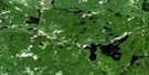
Larder Lake Satellite Imagery
To view this satellite map, mouse over the air photo on the right.
You can also download this satellite image map for free:
032D04 Larder Lake high-resolution satellite image map.
Maps for the Larder Lake aerial map sheet 032D04 at 1:50,000 scale are also available in these versions:
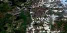
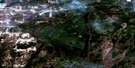
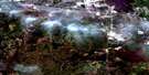
Larder Lake Surrounding Area Aerial Photo Maps
 |
 |
 |
 |
 |
 |
 |
 |
 |
 |
 |
 |
 |
 |
 |
 |
© Department of Natural Resources Canada. All rights reserved.
Larder Lake Gazetteer
The following places can be found on satellite image map 032D04 Larder Lake:
Larder Lake Satellite Image: Bays
Dublin BayFitzpatrick Bay
Hannigan Bay
Northeast Arm
Northwest Bay
Southwest Arm
Spoon Bay
Larder Lake Satellite Image: Beaches
Pearl BeachLarder Lake Satellite Image: Capes
Enright PointGold King Point
Indian Point
Lucky Boy Point
Tighe Point
Larder Lake Satellite Image: Channels
Big NarrowsLittle Narrows
The Narrows
Larder Lake Satellite Image: Falls
Raven FallsLarder Lake Satellite Image: Geographical areas
ArnoldBoston
Catharine
Dasserat
Dufay
Gauthier
Hearst
Katrine
Lebel
McElroy
McFadden
McGarry
McVittie
Morrisette
Ossian
Pacaud
Rattray
Skead
Timiskaming
Larder Lake Satellite Image: Islands
Bernice IslandBig Pete Island
Island CC
Island U
Larder Lake Satellite Image: Lakes
Adamson LakeAva Lake
Barber Lake
Barnard Lake
Bear Lake
Beaver Lake
Beaverhouse Lake
Bidgood Pothole
Binney Lake
Blackwell Lake
Boundary Lakes
Coate Lake
Corset Lake
Cripple Lakes
Crosby Lake
Crystal Lake
Diamond Lake
Doig Lake
Estrangement Lake
Fork Lake
Fox Lake
Gardner Lake
Gem Lake
Glover Lake
Gold Lake
Grace Lake
Grassy Lake
Gull Lake
Hanson Lake
Heart Lake
Highwater Lake
Hines Lake
Howard Lake
Jordan Lake
Joyce Lake
Killarney Lake
Kinabik Lake
Labyrinth Lake
Lac à Bernard
Lac Buies
Lac Delaas
Lac des Îles
Lac des Morts
Lac du Serpent
Lac Germain
Lac Hauteville
Lac Hauteville
Lac Hébert
Lac Labyrinthe
Lac Labyrinthe
Lac Lemieux
Lac Marjorie
Lac Opwataongajing
Lac Raven
Lac Ross
Lac Wawagoshe
Lacs Boundary
Lacs de la Frontière
Larder Lake
Lemieux Lake
Link Lake
Little Larder Lake
Little Long Lake
Long Lake
Malone Lake
Marjorie Lake
McMurtry Lake
McTavish Lake
Misema Lake
Monocle Lake
Moosehead Lake
Mousseau Lake
Mud Lake
Mulven Lake
Nelson Lake
Nettie Lake
Pancake Lake
Rathwell Lake
Raven Lake
Rodensere Lake
Ross Lake
Sawdust Lake
Shaver Lake
Smith Lake
Sourdough Lake
Spectacle Lakes
Spring Lake
Tournene Lake
Turtle Lake
Victoria Lake
Ward Lake
Waterhen Lake
Wawagoshe Lake
Wilson Lake
York Lake
Larder Lake Satellite Image: Mountains
Colline CheminisWorkman Hills
Larder Lake Satellite Image: Other municipal/district area - miscellaneous
GauthierLarder Lake
McGarry
Larder Lake Satellite Image: Conservation areas
East Larder River Bedrock Conifer Conservation ReserveGem Lake Maple Bedrock Provincial Park
Larder River Waterway Provincial Park
McGarry Township Forest Conservation Reserve
South Grassy Lake Outwash Conservation Reserve
Larder Lake Satellite Image: Rivers
Alfie CreekBear Creek
Benson Creek
Black River
Boston Creek
Estrangement Creek
Kinabik Creek
Larder River
Little Misema River
Malone Creek
McElroy Creek
Milky Creek
Misema River
Mist Creek
Moosehead Creek
Morrisette Creek
Mousseau Creek
Pancake Creek
Rivière Laberge
Sharp Creek
Smith Creek
Spring Creek
Victoria Creek
Wawagoshe Creek
Larder Lake Satellite Image: Towns
Kirkland LakeLarder Lake Satellite Image: Unincorporated areas
ArgonautBeaver Lake
Boston Creek
Cheminis
Crystal Beach
Dalby
Diamond Lake
Dobie
Kearns
King Kirkland
King Kirkland Station
Larder Lake
McNamara
Northlands Park
Rosegrove
Virginiatown
Larder Lake Satellite Image: Villages
Chesterville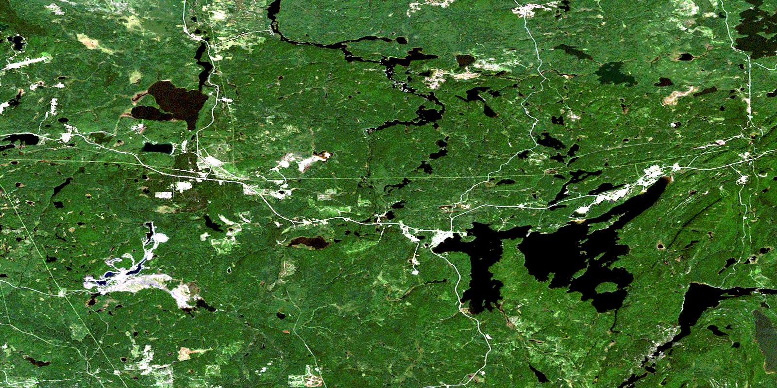
© Department of Natural Resources Canada. All rights reserved.
032D Related Maps:
032D Rouyn-Noranda032D01 Malartic
032D02 Lac Kinojevis
032D03 Rouyn
032D04 Larder Lake
032D05 Magusi River
032D06 Riviere Kanasuta
032D07 Clericy
032D08 La Motte
032D09 Amos
032D10 Taschereau
032D11 Palmarolle
032D12 Lightning River
032D13 Aylen River
032D14 La Sarre
032D15 Riviere Macamic
032D16 Collines Gemini
