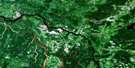
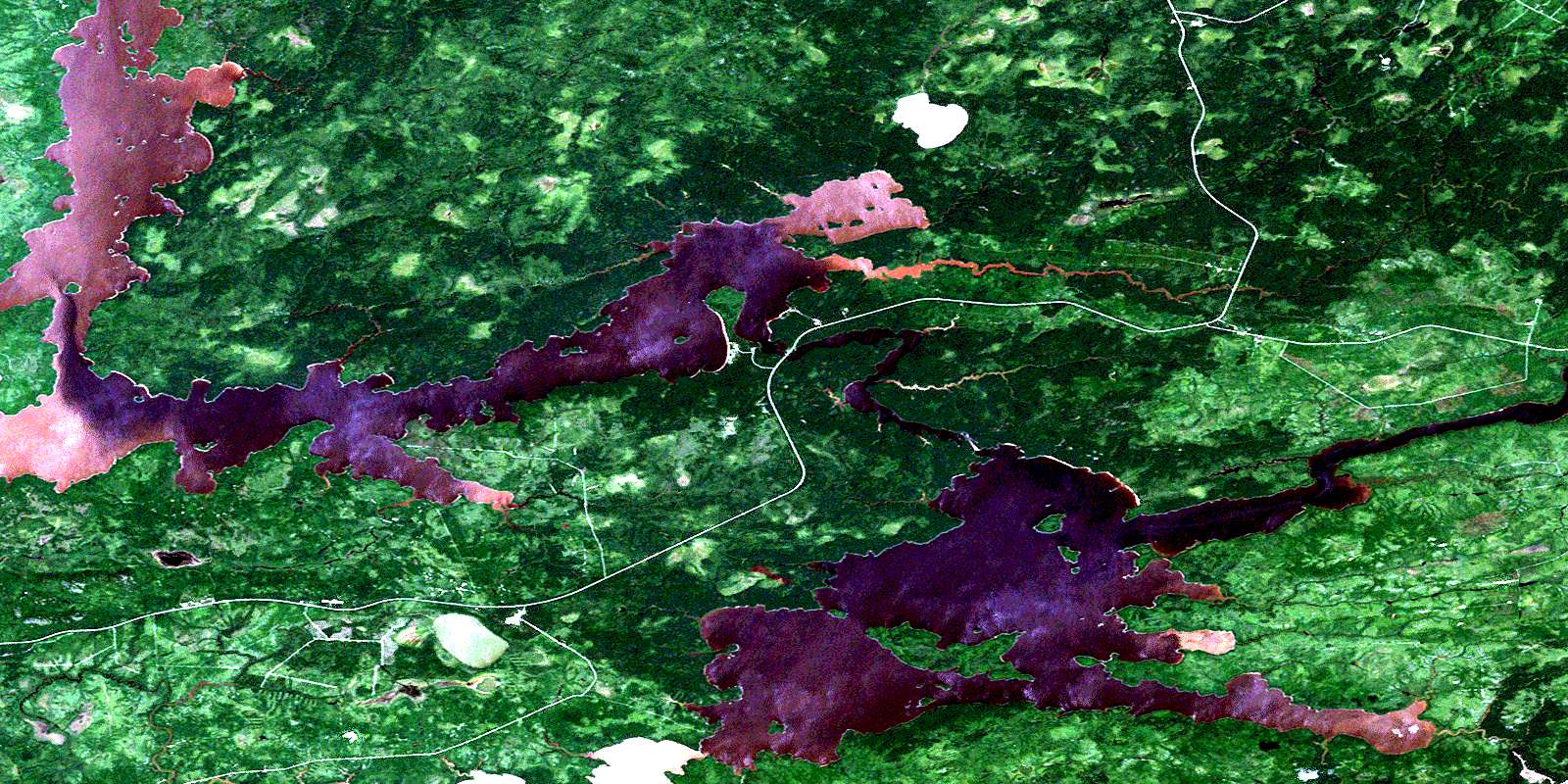
Lac Olga Satellite Image Map
Download Free Aerial Photo 032F14 at 1:50,000 scale
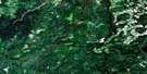
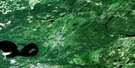
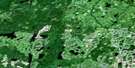
Lac Olga Satellite Imagery
To view this satellite map, mouse over the air photo on the right.
You can also download this satellite image map for free:
032F14 Lac Olga high-resolution satellite image map.
Maps for the Lac Olga aerial map sheet 032F14 at 1:50,000 scale are also available in these versions:
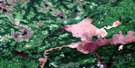
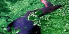
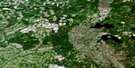
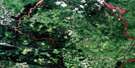
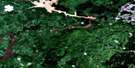
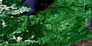
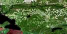
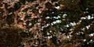
Lac Olga Surrounding Area Aerial Photo Maps
 |
 |
 |
 |
 |
 |
 |
 |
 |
 |
 |
 |
 |
 |
 |
 |
© Department of Natural Resources Canada. All rights reserved.
Lac Olga Gazetteer
The following places can be found on satellite image map 032F14 Lac Olga:
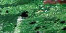
Lac Olga Satellite Image: Bays
Baie AnitaBaie du Nord
Lac Olga Satellite Image: Falls
Chute RougeLac Olga Satellite Image: Geographical areas
DussieuxLe Maistre
Livaudière
Lozeau
Morris
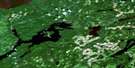
Lac Olga Satellite Image: Lakes
Lac GabrielleLac Matagami
Lac Olga
Lac Olga Satellite Image: Rivers
Rivière CanetRivière Waswanipi
Lac Olga Satellite Image: Road features
Pont de la Rivière-WaswanipiPont de la Waswanipi
© Department of Natural Resources Canada. All rights reserved.
032F Related Maps:
032F Lac Waswanipi032F01 Lac De La Ligne
032F02 Lac Quevillon
032F03 Passage Du Granite
032F04 Riviere Coigny
032F05 Riviere Des Indiens
032F06 Ile Canica
032F07 Lac Esther
032F08 Lac Pusticamica
032F09 Desmaraisville
032F10 Baie Ramsay
032F11 Riviere Opaoca
032F12 Ile Bancroft
032F13 Matagami
032F14 Lac Olga
032F15 Lac Au Goeland
032F16 Lac Capisisit
