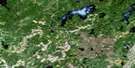
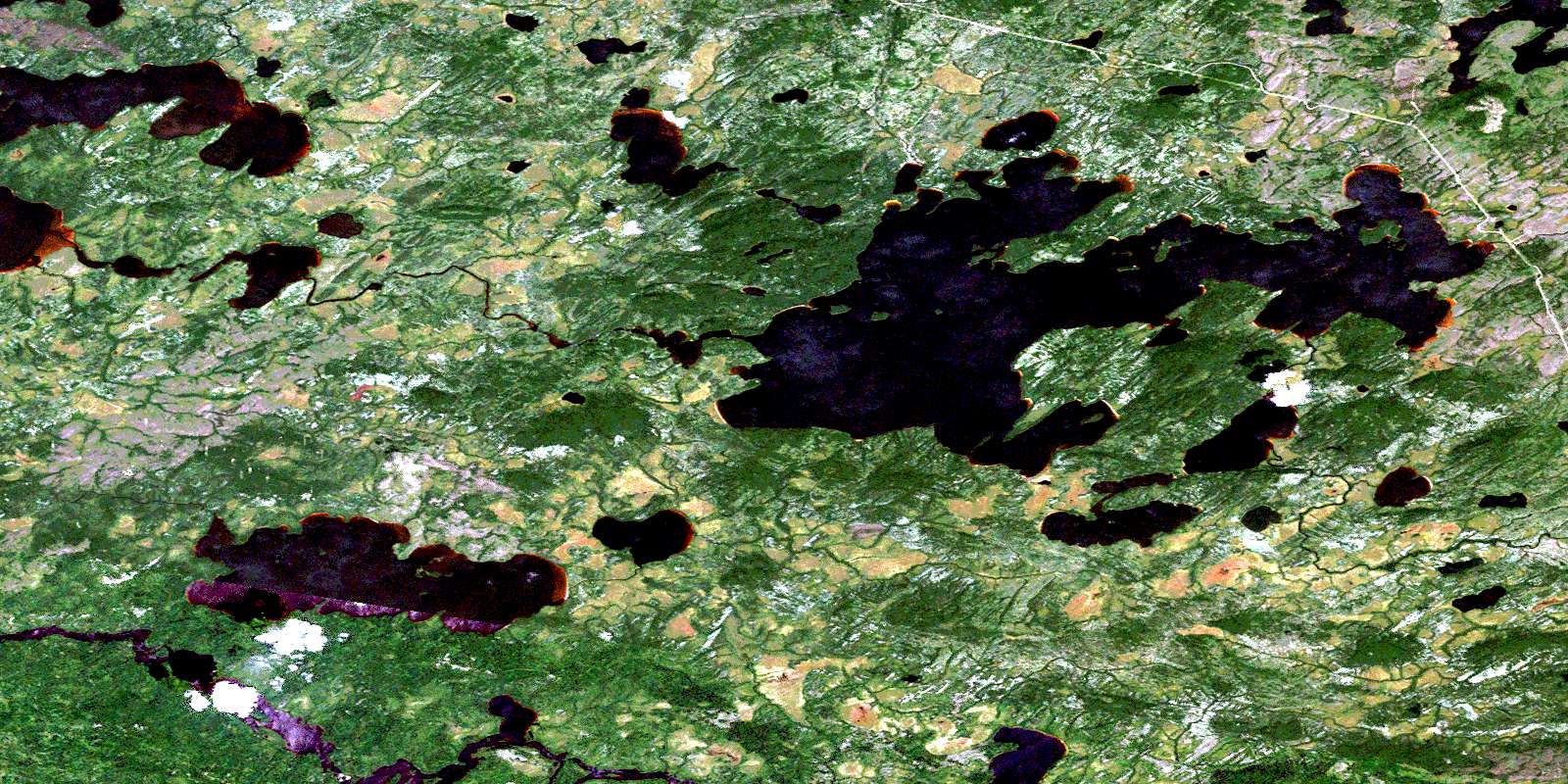
Lac Theodat Satellite Image Map
Download Free Aerial Photo 032K16 at 1:50,000 scale
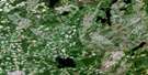
Lac Theodat Satellite Imagery
To view this satellite map, mouse over the air photo on the right.
You can also download this satellite image map for free:
032K16 Lac Theodat high-resolution satellite image map.
Maps for the Lac Theodat aerial map sheet 032K16 at 1:50,000 scale are also available in these versions:
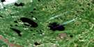
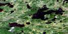
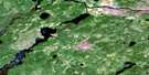
Lac Theodat Surrounding Area Aerial Photo Maps
 |
 |
 |
 |
 |
 |
 |
 |
 |
 |
 |
 |
 |
 |
 |
 |
© Department of Natural Resources Canada. All rights reserved.
Lac Theodat Gazetteer
The following places can be found on satellite image map 032K16 Lac Theodat:
Lac Theodat Satellite Image: Lakes
Lac EikieLac Geikie
Lac Le Gardeur
Lac Mill
Lac Mishagomish
Lac Storm
Lac Tésécau
Lac Théodat
Lac Tshissekau
Tsheesaypokatawagan
Lac Theodat Satellite Image: Mountains
Mont RabbitLac Theodat Satellite Image: Rivers
Petite rivière NottawayRivière Broadback
Rivière Geikie
Rivière Michagomiche
Rivière Mill
Rivière Mishagomish
Rivière Rapid
Rivière Théodat
Rivière Victoria
© Department of Natural Resources Canada. All rights reserved.
032K Related Maps:
032K Lac Evans032K01 Lac Yapuouichi
032K02 Lac Poncheville
032K03 Lac Soscumica
032K04 Lac Bouchier
032K05 Lac Maurice
032K06 Lac Chabinoche
032K07 Lac Opataouaga
032K08 Lac Amisquioumisca
032K09 Lac Rocher
032K10 Lac Salamandre
032K11 Lac Ouagama
032K12 Chute Aux Iroquois
032K13 Lac Rodayer
032K14 Lac Dana
032K15 Lake Evans
032K16 Lac Theodat
