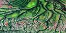
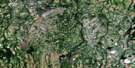
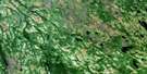
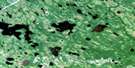
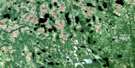
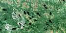
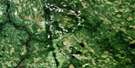
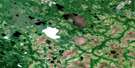
Lac Salomon Satellite Image Map
Download Free Aerial Photo 032L14 at 1:50,000 scale
Lac Salomon Satellite Imagery
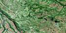
To view this satellite map, mouse over the air photo on the right.
You can also download this satellite image map for free:
032L14 Lac Salomon high-resolution satellite image map.
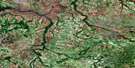
Maps for the Lac Salomon aerial map sheet 032L14 at 1:50,000 scale are also available in these versions:
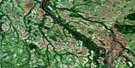
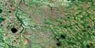
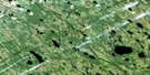
Lac Salomon Surrounding Area Aerial Photo Maps
 |
 |
 |
 |
 |
 |
 |
 |
 |
 |
 |
 |
 |
 |
 |
 |
© Department of Natural Resources Canada. All rights reserved.
Lac Salomon Gazetteer
The following places can be found on satellite image map 032L14 Lac Salomon:
Lac Salomon Satellite Image: Bays
Baie KawajahibiyagLac Salomon Satellite Image: Capes
Péninsule MinistikawatinPresqu'île Makwa
Lac Salomon Satellite Image: Islands
Île des SapinsLac Salomon Satellite Image: Lakes
Lac DianeLac Pierre
Lac Salomon
Lac Salomon Satellite Image: Rivers
Rivière AgainRivière Harricana
Rivière Missisicabi
Rivière Piscapecassy
Ruisseau Chistatuchunach Kasaipaych
Ruisseau des Fossiles
Ruisseau des Grenouilles
Ruisseau Eskanich Kaakuchiko
Ruisseau Kachemiskustastikw
Ruisseau Kamaschiskach
Ruisseau Salomon
Lac Salomon Satellite Image: Unincorporated areas
AsuwapamatikunanLac Salomon Satellite Image: Low vegetation
Marais Tepit Kachitwehut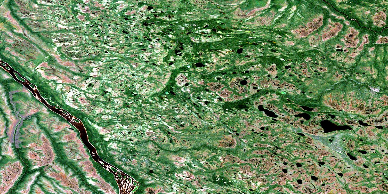
© Department of Natural Resources Canada. All rights reserved.
032L Related Maps:
032L Riviere Harricana032L01 Lac Paul-Sauve
032L02 Riviere Rouget
032L03 Lac Spradbrow
032L04 Hopper Creek
032L05 Corner Lakes
032L06 Lac Gette
032L07 Riviere Des Aulnes
032L08 Lac Obamsca
032L09 Lac Suzanne
032L10 Riviere Missisicabi Ouest
032L11 Riviere Malouin
032L12 Hoelke Creek
032L13 Atik River
032L14 Lac Salomon
032L15 Riviere Patrick
032L16 Lac Dusaux
