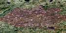
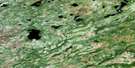
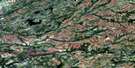
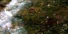
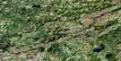
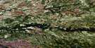
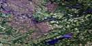
Lac Legoff Satellite Image Map
Download Free Aerial Photo 032N01 at 1:50,000 scale
Lac Legoff Satellite Imagery
To view this satellite map, mouse over the air photo on the right.
You can also download this satellite image map for free:
032N01 Lac Legoff high-resolution satellite image map.
Maps for the Lac Legoff aerial map sheet 032N01 at 1:50,000 scale are also available in these versions:
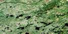
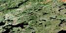
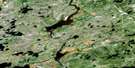
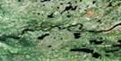
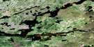
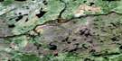
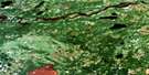
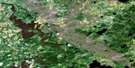
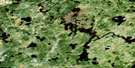
Lac Legoff Surrounding Area Aerial Photo Maps
 |
 |
 |
 |
 |
 |
 |
 |
 |
 |
 |
 |
 |
 |
 |
 |
© Department of Natural Resources Canada. All rights reserved.
Lac Legoff Gazetteer
The following places can be found on satellite image map 032N01 Lac Legoff:
Lac Legoff Satellite Image: Bays
Baie KaupapusteuLac Legoff Satellite Image: Lakes
Lac BrutonLac Cooper
Lac Kawipuskakamach
Lac Legoff
Lac Mahikan
Lac Michisu
Lac Poncet
Lac Pushi Pachituwakan
Lac Tésécau
Lac Tshissekau
Lac Unamepiyam
Lac Uschiskw Kachimisut
Tsheesaypokatawagan
Lac Legoff Satellite Image: Mountains
Colline KanapatepayichColline Pushi Pachituwakan
Colline Unamepiyam
Lac Legoff Satellite Image: Rapids
Rapides ChiyaskwRapides Kapichiskutewesimuch
Lac Legoff Satellite Image: Rivers
Rivière à la MarteRivière des Pôles
Ruisseau Kauschiskakamau
Ruisseau Kawipuskakamach
Ruisseau Mahikan
Lac Legoff Satellite Image: Road features
Portage Ich
© Department of Natural Resources Canada. All rights reserved.
032N Related Maps:
032N Lac Nemiscau032N01 Lac Legoff
032N02 Lac Giffard
032N03 Riviere Ouasouagami
032N04 Lac Colomb
032N05 Ruisseau Gaulier
032N06 Lac Mezieres
032N07 Lac Nemiscau
032N08 Lac De La Sicotiere
032N09 Lac Champion
032N10 Lac Jolliet
032N11 Lac Boisrobert
032N12
032N13
032N14 Lac Mirabelli
032N15 Lac Chambois
032N16 Collines Lescar
