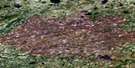
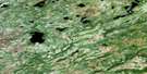
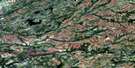
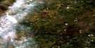
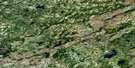
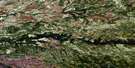
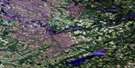
Satellite Image Map
Download Free Aerial Photo 032N13 at 1:50,000 scale
Satellite Imagery
To view this satellite map, mouse over the air photo on the right.
You can also download this satellite image map for free:
032N13 high-resolution satellite image map.
Maps for the aerial map sheet 032N13 at 1:50,000 scale are also available in these versions:
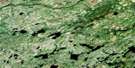
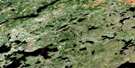
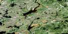
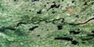
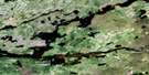
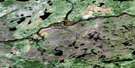
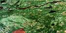
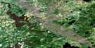
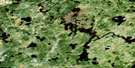
Surrounding Area Aerial Photo Maps
 |
 |
 |
 |
 |
 |
 |
 |
 |
 |
 |
 |
 |
 |
 |
 |
© Department of Natural Resources Canada. All rights reserved.
Gazetteer
The following places can be found on satellite image map 032N13 :
Satellite Image: Lakes
Lac AsusukanuchLac Chalis
Lac Cherommet
Lac Kapeyakukamach
Lac Kapitawawastech
Lac Kasiniwakamach
Lac Kawawakayach
Lac Namekus
Lac Wiskichanisich
Satellite Image: Mountains
Colline EchimuhwetinachSatellite Image: Rapids
Petits rapides AchunikanisSatellite Image: Rivers
Rivière EnistuwachRivière Jack
Rivière Jolicoeur
Rivière Jolicoeur Nord-Est
Ruisseau Cherommet
Ruisseau Eutuskunitich
Ruisseau Kamististikwach
Ruisseau Kananapaishich
Ruisseau Kapimichistach
Ruisseau Pachituwakan

© Department of Natural Resources Canada. All rights reserved.
032N Related Maps:
032N Lac Nemiscau032N01 Lac Legoff
032N02 Lac Giffard
032N03 Riviere Ouasouagami
032N04 Lac Colomb
032N05 Ruisseau Gaulier
032N06 Lac Mezieres
032N07 Lac Nemiscau
032N08 Lac De La Sicotiere
032N09 Lac Champion
032N10 Lac Jolliet
032N11 Lac Boisrobert
032N12
032N13
032N14 Lac Mirabelli
032N15 Lac Chambois
032N16 Collines Lescar
