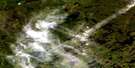
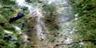
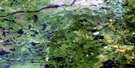
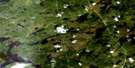
Lac Goulde Satellite Image Map
Download Free Aerial Photo 032O11 at 1:50,000 scale
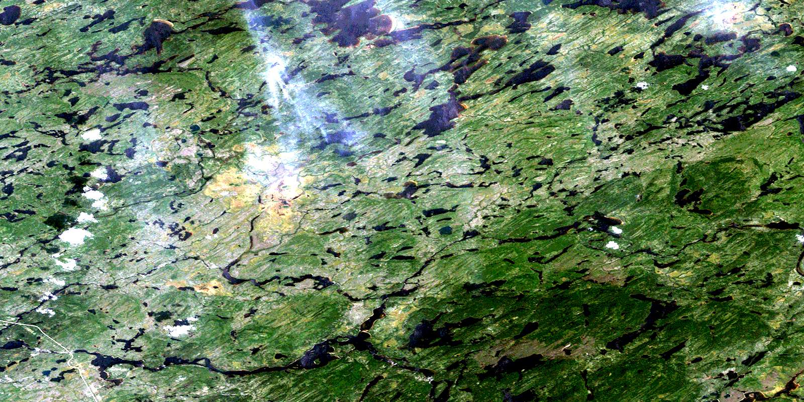
Lac Goulde Satellite Imagery
To view this satellite map, mouse over the air photo on the right.
You can also download this satellite image map for free:
032O11 Lac Goulde high-resolution satellite image map.
Maps for the Lac Goulde aerial map sheet 032O11 at 1:50,000 scale are also available in these versions:
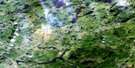
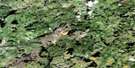
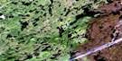
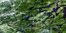
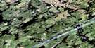
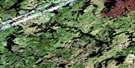
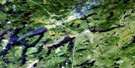
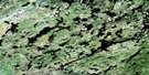
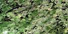
Lac Goulde Surrounding Area Aerial Photo Maps
 |
 |
 |
 |
 |
 |
 |
 |
 |
 |
 |
 |
 |
 |
 |
 |
© Department of Natural Resources Canada. All rights reserved.
Lac Goulde Gazetteer
The following places can be found on satellite image map 032O11 Lac Goulde:
Lac Goulde Satellite Image: Lakes
Lac Des ChampsLac des Plages
Lac Elan Iskweu Utitaun
Lac Goulde
Lac Hore
Lac Le Vilin
Lac Lemare
Lac Mesgouez
Lac Mistapeu Pachituwakan
Lac Mistikukawashi Kaschimestakan
Lac Namekusich Katato
Lac One
Lac Pukutimau
Lac Senay
Lac Goulde Satellite Image: Mountains
Mont MistapeuLac Goulde Satellite Image: Conservation areas
Réserve de NemiscauLac Goulde Satellite Image: Rapids
Rapides Chischekau PachituwakanRapides Wapiskwapeu
Lac Goulde Satellite Image: Rivers
Rivière LemareRivière Rupert
Ruisseau Kayechischekaw
Ruisseau Mistapeu
Lac Goulde Satellite Image: Road features
Petit portage WapushPortage Kapischechiseyau
Portage Upistikweyau
© Department of Natural Resources Canada. All rights reserved.
032O Related Maps:
032O Lac Mesgouez032O01 Lac Miskittenau
032O02 Lac Montmort
032O03 Lac Villon
032O04 Lac Weakwaten
032O05 Lac Bechard
032O06 Lac Mesgouez
032O07 Lac La Bardeliere
032O08 Lac Bellinger
032O09 Lac Cawachagamite
032O10 Lac Le Vilin
032O11 Lac Goulde
032O12 Lac Des Montagnes
032O13 Lac Abigail
032O14 Lac Du Glas
032O15 Lac Nasacauso
032O16 Lac De La Maree
