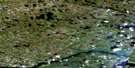
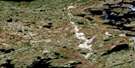
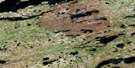
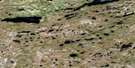
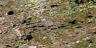
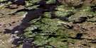
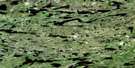
Passe Chimusuminu Satellite Image Map
Download Free Aerial Photo 033F11 at 1:50,000 scale
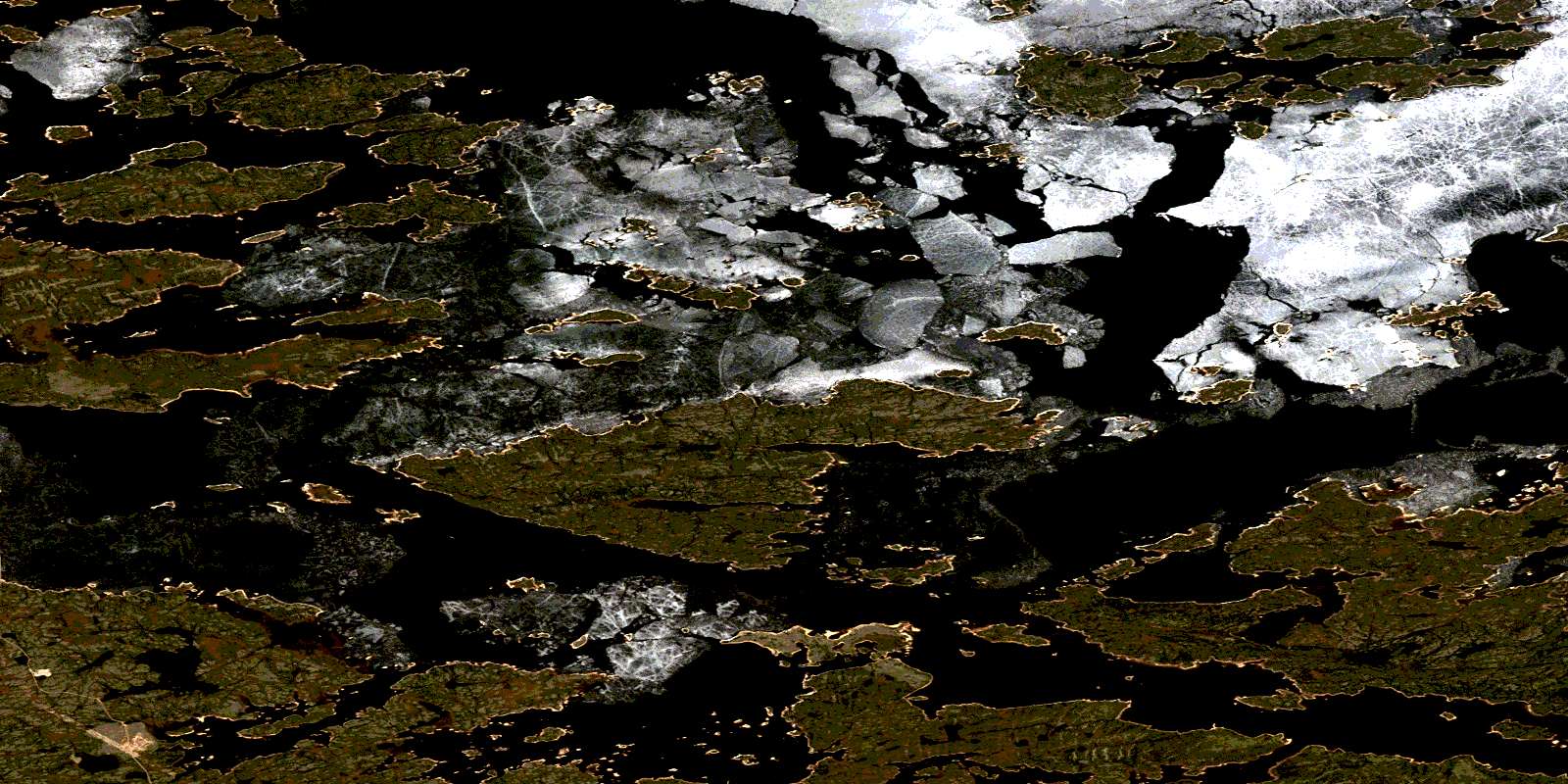
Passe Chimusuminu Satellite Imagery
To view this satellite map, mouse over the air photo on the right.
You can also download this satellite image map for free:
033F11 Passe Chimusuminu high-resolution satellite image map.
Maps for the Passe Chimusuminu aerial map sheet 033F11 at 1:50,000 scale are also available in these versions:
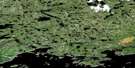
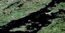
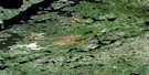
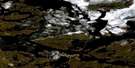
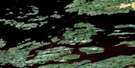
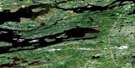
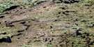
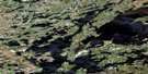
Passe Chimusuminu Surrounding Area Aerial Photo Maps
 |
 |
 |
 |
 |
 |
 |
 |
 |
 |
 |
 |
 |
 |
 |
 |
© Department of Natural Resources Canada. All rights reserved.
Passe Chimusuminu Gazetteer
The following places can be found on satellite image map 033F11 Passe Chimusuminu:
Passe Chimusuminu Satellite Image: Bays
Baie ChapusBaie Kamisikamach
Baie Kapuskwawchikamach
Baie Kawasayakamach
Lac Chapus
Passe Chimusuminu Satellite Image: Channels
Passe AlderPasse Chimusuminu
Passe Utipiskuchaw
Passe Chimusuminu Satellite Image: Islands
Île JanjandashiPasse Chimusuminu Satellite Image: Lakes
Baie KawawiyakamachLac Kawawiyakamach
Réservoir LG Deux
Réservoir Robert-Bourassa
Réservoir Robert-Bourassa
Passe Chimusuminu Satellite Image: Rivers
La Grande RivièreRivière Fort George
© Department of Natural Resources Canada. All rights reserved.
033F Related Maps:
033F Lac Sakami033F01 Lac De Villaret
033F02 Lac Guillaumat
033F03 Lac Langelier
033F04 Lac Threefold
033F05 Lac Esprit
033F06 Lac Kowskatehkakmow
033F07 Lac Sakami
033F08 Lac De Vaulx
033F09 Colline Masson
033F10 Passe Awapakamich
033F11 Passe Chimusuminu
033F12 Lac Vion
033F13 Lac Awichina
033F14 Lac Brehan
033F15 Baie Carbillet
033F16 Passe Pikwahipanan
