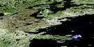
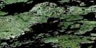
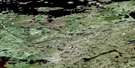
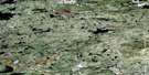
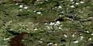
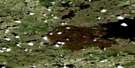
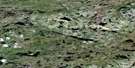
Satellite Image Map
Download Free Aerial Photo 033G05 at 1:50,000 scale
Satellite Imagery
To view this satellite map, mouse over the air photo on the right.
You can also download this satellite image map for free:
033G05 high-resolution satellite image map.
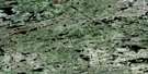
Maps for the aerial map sheet 033G05 at 1:50,000 scale are also available in these versions:
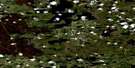
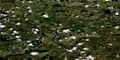
Surrounding Area Aerial Photo Maps
 |
 |
 |
 |
 |
 |
 |
 |
 |
 |
 |
 |
 |
 |
 |
 |
© Department of Natural Resources Canada. All rights reserved.
Gazetteer
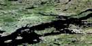
The following places can be found on satellite image map 033G05 :
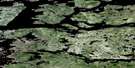
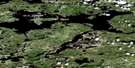
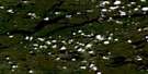
Satellite Image: Lakes
Lac BridgarLac Chabrillan
Lac Goulard
Lac Mansonty
Lac Mortemart
Réservoir La Grande 3
Satellite Image: Rivers
Rivière Sakami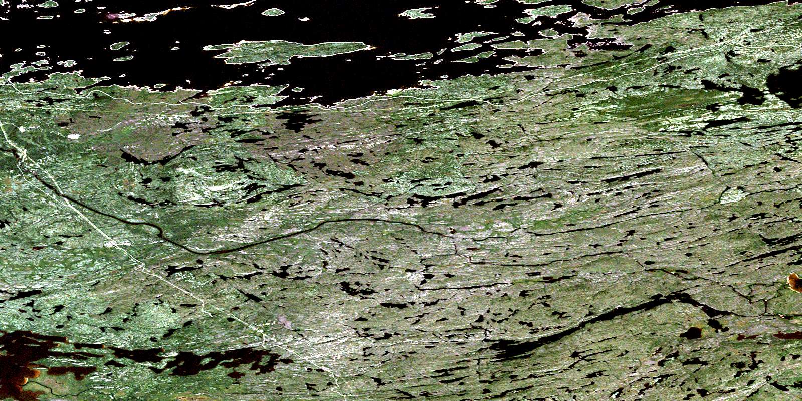
© Department of Natural Resources Canada. All rights reserved.
033G Related Maps:
033G Lac De La Fregate033G01 Lac Lakanal
033G02 Lac De La Fregate
033G03 Lac Casterne
033G04 Lac Ewart
033G05
033G06 Lac Chabrillan
033G07 Lac Brune
033G08 Lac De La Corvette
033G09 Lac Magin
033G10 Baie Gavaudan
033G11 Lac Guyer
033G12 Colline Bezier
033G13 Lac De La Montagne Du Pin
033G14 Collines Doureau
033G15 Colline Captel
033G16 Lac Fontay
