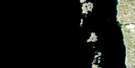
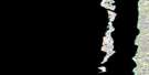
Lac Persillon Satellite Image Map
Download Free Aerial Photo 034C08 at 1:50,000 scale
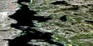
Lac Persillon Satellite Imagery
To view this satellite map, mouse over the air photo on the right.
You can also download this satellite image map for free:
034C08 Lac Persillon high-resolution satellite image map.
Maps for the Lac Persillon aerial map sheet 034C08 at 1:50,000 scale are also available in these versions:
Lac Persillon Surrounding Area Aerial Photo Maps
 |
 |
||
 |
 |
||
 |
 |
||
 |
 |
© Department of Natural Resources Canada. All rights reserved.
Lac Persillon Gazetteer
The following places can be found on satellite image map 034C08 Lac Persillon:
Lac Persillon Satellite Image: Channels
Passe QurnguLac Persillon Satellite Image: Islands
Île Qikirtaaluk TarrasiPetite île Qurnguup
Lac Persillon Satellite Image: Lakes
Lac Guillaume-DelisleLac Iyaatiwiinapaakus
Lac Paachisii
Lac Pamiallugusiup
Lac Persillon
Richmond Gulf
Lac Persillon Satellite Image: Mountains
Colline KaamachistaawaasaakaawColline Qingaaluk
Lac Persillon Satellite Image: Rivers
Rivière au CaribouRivière Deer
Lac Persillon Satellite Image: Road features
Piste Nasaaluk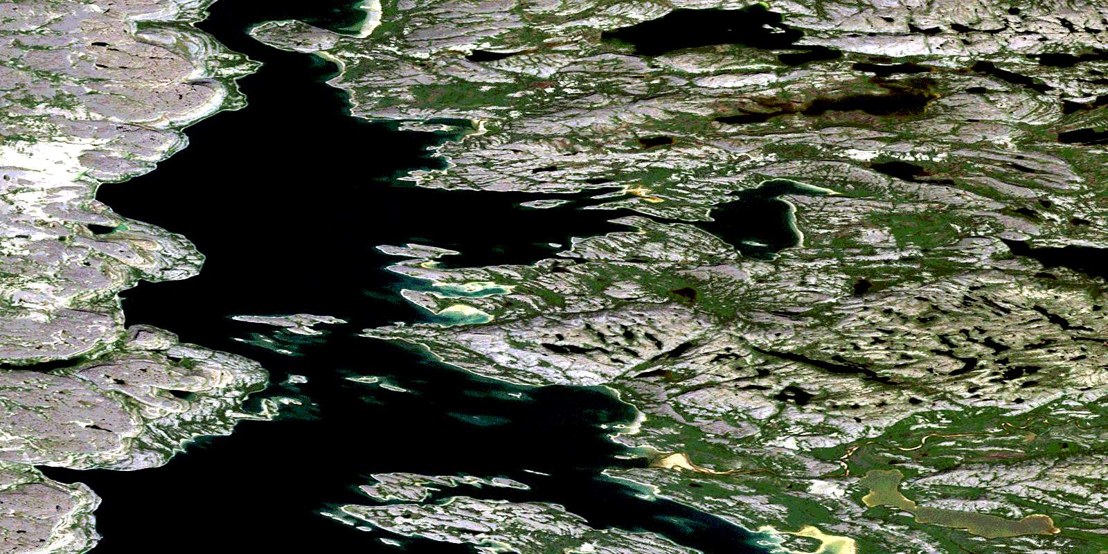
© Department of Natural Resources Canada. All rights reserved.
