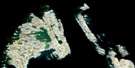
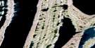
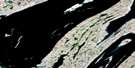
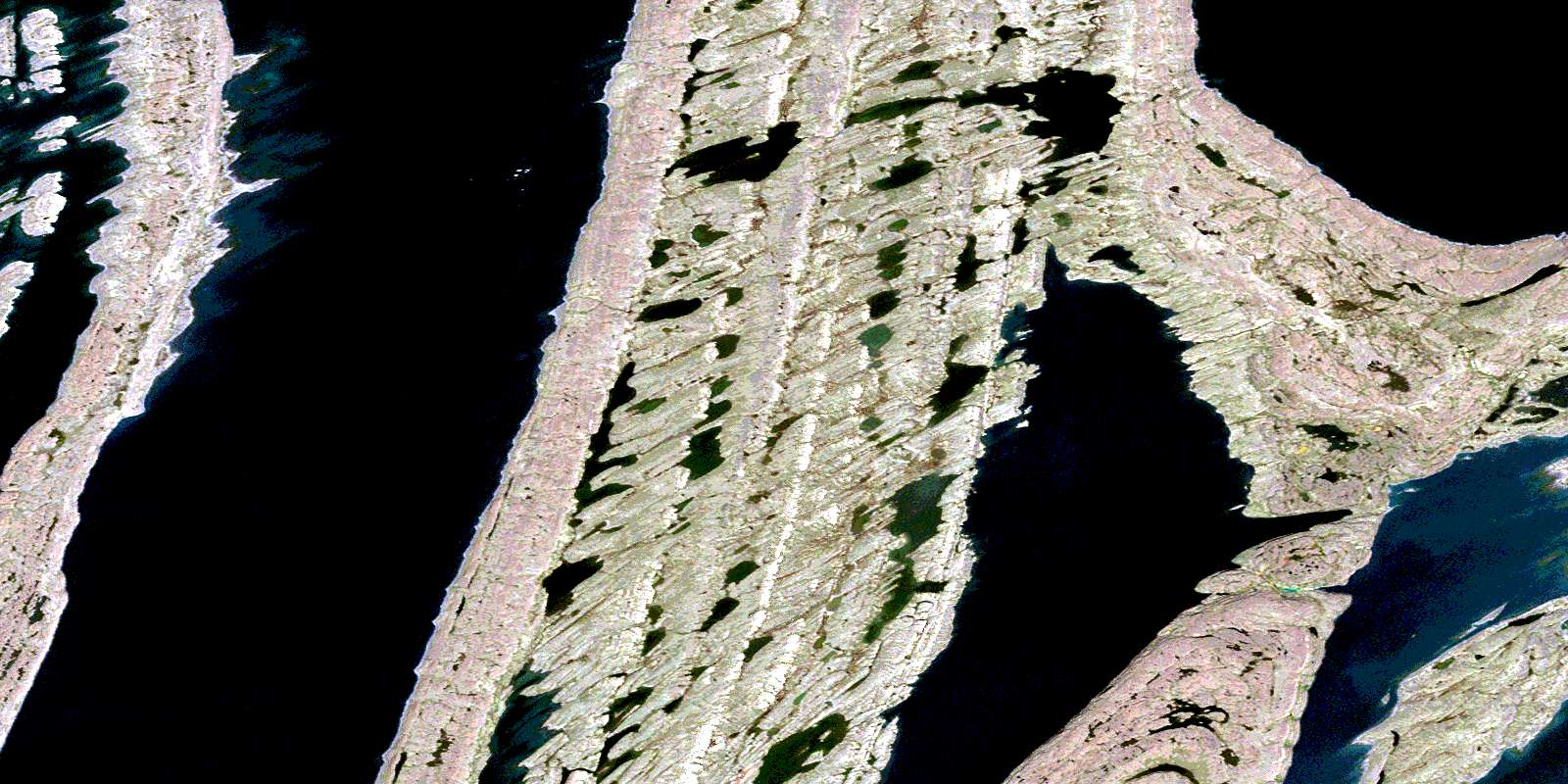
East Arm Satellite Image Map
Download Free Aerial Photo 034D06 at 1:50,000 scale
East Arm Satellite Imagery
To view this satellite map, mouse over the air photo on the right.
You can also download this satellite image map for free:
034D06 East Arm high-resolution satellite image map.
Maps for the East Arm aerial map sheet 034D06 at 1:50,000 scale are also available in these versions:
East Arm Surrounding Area Aerial Photo Maps
 |
|||
 |
 |
||
 |
 |
 |
|
 |
 |
 |
© Department of Natural Resources Canada. All rights reserved.
East Arm Gazetteer
The following places can be found on satellite image map 034D06 East Arm:
East Arm Satellite Image: Bays
Coats BayEast Arm
Haig Inlet
Kihl Bay
Kipalu Inlet
West Arm
East Arm Satellite Image: Capes
Howard PeninsulaEast Arm Satellite Image: Channels
Face ChannelEast Arm Satellite Image: Islands
Belcher IslandsFlaherty Island
Moore Island
Ney Island
East Arm Satellite Image: Lakes
Kasegalik LakeMani Lake
Windy Lake
© Department of Natural Resources Canada. All rights reserved.
034D Related Maps:
034D Tukarak Island034D02E Fairweather Sound
034D02W Fairweather Sound
034D03E Upper Wetalltok Bay
034D03W Upper Wetalltok Bay
034D04E Churchill Sound
034D04W Churchill Sound
034D05E Kugong Island
034D05W Kugong Island
034D06E East Arm
034D06W East Arm
034D07E Cape Bartlett
034D07W Cape Bartlett
034D11E Eskimo Harbour
034D11W Eskimo Harbour
034D12E Johnson Island
034D12W Johnson Island
034D13E North Belcher Islands
034D13W North Belcher Islands
