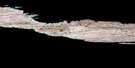
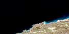
Deception Bay Satellite Image Map
Download Free Aerial Photo 035J02 at 1:50,000 scale
Deception Bay Satellite Imagery
To view this satellite map, mouse over the air photo on the right.
You can also download this satellite image map for free:
035J02 Deception Bay high-resolution satellite image map.
Maps for the Deception Bay aerial map sheet 035J02 at 1:50,000 scale are also available in these versions:
Deception Bay Surrounding Area Aerial Photo Maps
 |
|||
 |
 |
 |
|
 |
 |
 |
 |
© Department of Natural Resources Canada. All rights reserved.
Deception Bay Gazetteer
The following places can be found on satellite image map 035J02 Deception Bay:
Deception Bay Satellite Image: Bays
Baie DéceptionBaie Kangirsugaarjuk
Baie Ujararjuaq
Careenage Arm
Careenage Arm
Deception Bay
False Cove
Deception Bay Satellite Image: Beaches
Plage du BombardierDeception Bay Satellite Image: Capes
Cap QairtuinaqPointe Noire
Pointe Théron
Promontoire Maurepas
Deception Bay Satellite Image: Channels
East ChannelFalse Passage
Main Channel
Deception Bay Satellite Image: Islands
Arctic IslandÎle Qikirtaapik
Île Siurartuuq
Île Tulugarnaq
Moosehead Island
Neptune Island
Rocher Egg
Rocher Tulugarnaq
Deception Bay Satellite Image: Lakes
Lac DuquetDeception Bay Satellite Image: Mountains
Mont de la TableMontagne Kakahloo
Deception Bay Satellite Image: Rivers
Rivière AvaalaqRivière Déception
Rivière Qungapalik
Rivière Qutirjuaq
Ruisseau Saputiit
Deception Bay Satellite Image: Shoals
Black RockChannel Rock
Deception Bay Satellite Image: Unincorporated areas
Déception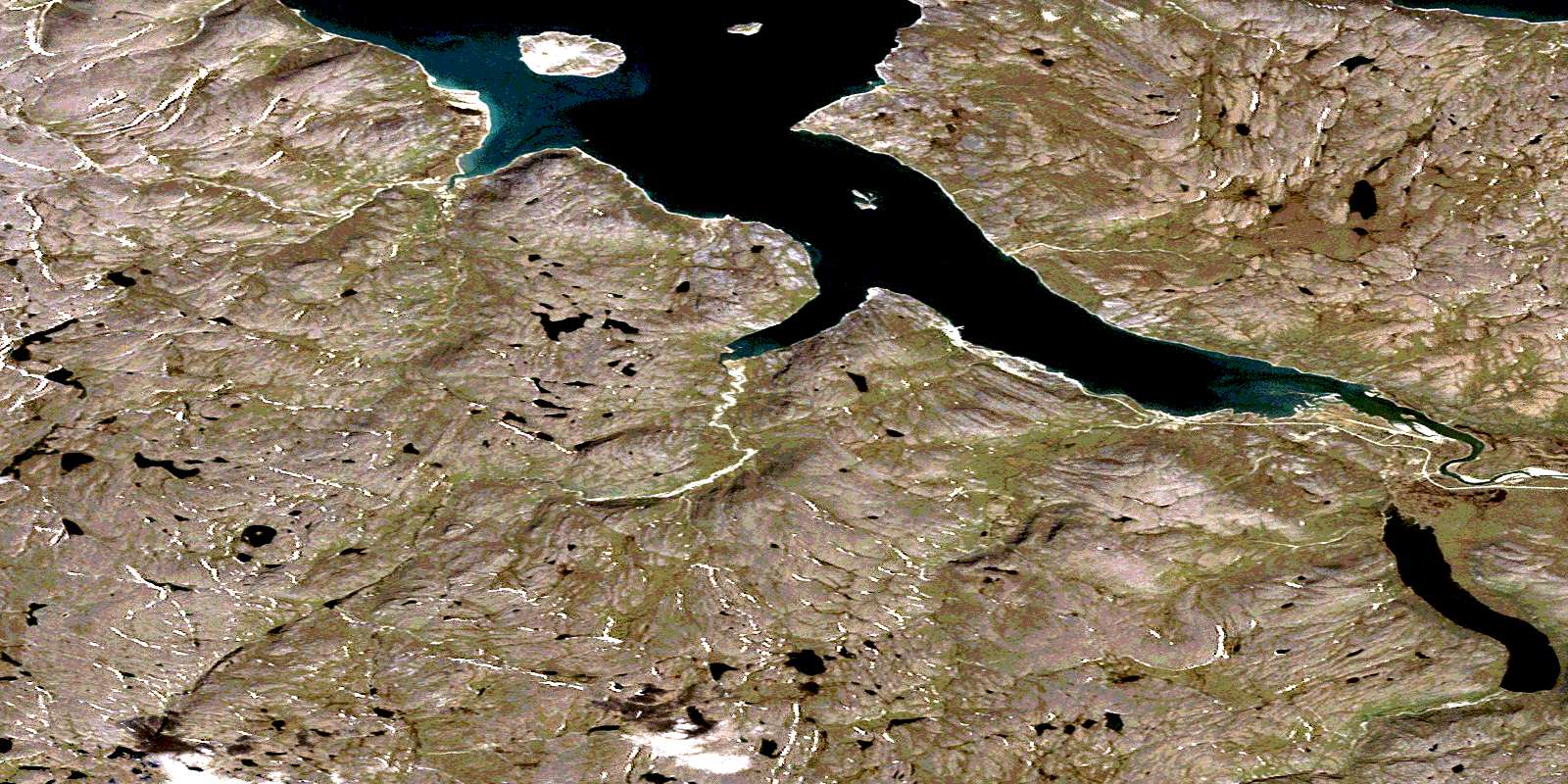
© Department of Natural Resources Canada. All rights reserved.
