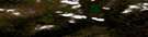
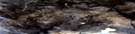
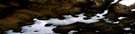
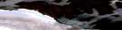
Lewis Glacier Satellite Image Map
Download Free Aerial Photo 037E06 at 1:50,000 scale
Lewis Glacier Satellite Imagery
To view this satellite map, mouse over the air photo on the right.
You can also download this satellite image map for free:
037E06 Lewis Glacier high-resolution satellite image map.
Maps for the Lewis Glacier aerial map sheet 037E06 at 1:50,000 scale are also available in these versions:
Lewis Glacier Surrounding Area Aerial Photo Maps
 |
 |
 |
|
 |
 |
 |
|
 |
 |
 |
© Department of Natural Resources Canada. All rights reserved.
Lewis Glacier Gazetteer
The following places can be found on satellite image map 037E06 Lewis Glacier:
Lewis Glacier Satellite Image: Glaciers
Barnes Ice CapLewis Glacier
Triangle Glacier
Lewis Glacier Satellite Image: Lakes
Alectoria LakeConn Lake
Flitaway Lake
Lecidaea Lake
Lewis Glacier Satellite Image: Mountains
Elegans HillFlyover Hill
Lewis Glacier Satellite Image: Rivers
Isortoq RiverLewis River
Nivalis River
Pintail River
Spillway River
Striding River
Lewis Glacier Satellite Image: River features
Blockade BendLewis Glacier Satellite Image: Valleys
Isortoq Gorge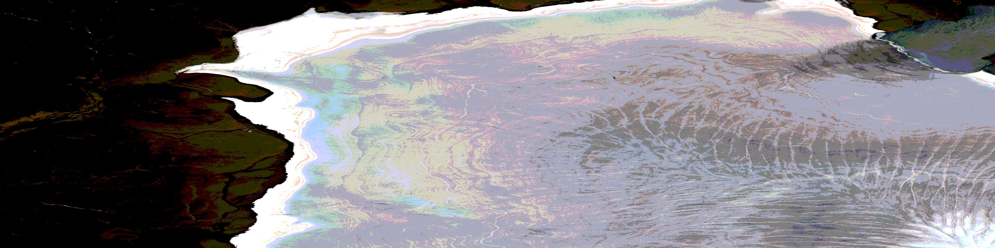
© Department of Natural Resources Canada. All rights reserved.
037E Related Maps:
037E Conn Lake037E01E No Title
037E01W No Title
037E02E Barnes Ice Cap
037E02W Barnes Ice Cap
037E03E No Title
037E03W No Title
037E06E Lewis Glacier
037E06W Lewis Glacier
037E07E Bieler Lake West
037E07W Bieler Lake West
037E08E Bieler Lake East
037E08W Bieler Lake East
037E10E Conn Lake
037E10W Conn Lake
037E11E Nivalis Lake
037E11W Nivalis Lake
037E12E Rimrock Lake
