Conn Lake Satellite Image Map
Download Free Aerial Photo 037E10 at 1:50,000 scale
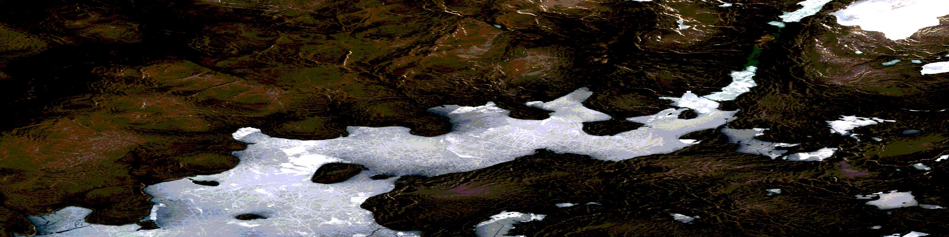
Conn Lake Satellite Imagery
To view this satellite map, mouse over the air photo on the right.
You can also download this satellite image map for free:
037E10 Conn Lake high-resolution satellite image map.
Maps for the Conn Lake aerial map sheet 037E10 at 1:50,000 scale are also available in these versions:
Conn Lake Surrounding Area Aerial Photo Maps
 |
 |
 |
|
 |
 |
 |
|
 |
 |
 |
© Department of Natural Resources Canada. All rights reserved.
Conn Lake Gazetteer
The following places can be found on satellite image map 037E10 Conn Lake:
Conn Lake Satellite Image: Lakes
Bieler LakeConn Lake
Conn Lake Satellite Image: Rivers
Rangifer RiverRangifer River
Tay River
© Department of Natural Resources Canada. All rights reserved.
037E Related Maps:
037E Conn Lake037E01E No Title
037E01W No Title
037E02E Barnes Ice Cap
037E02W Barnes Ice Cap
037E03E No Title
037E03W No Title
037E06E Lewis Glacier
037E06W Lewis Glacier
037E07E Bieler Lake West
037E07W Bieler Lake West
037E08E Bieler Lake East
037E08W Bieler Lake East
037E10E Conn Lake
037E10W Conn Lake
037E11E Nivalis Lake
037E11W Nivalis Lake
037E12E Rimrock Lake
