Oliver Sound Satellite Image Map
Download Free Aerial Photo 038B06 at 1:50,000 scale
Oliver Sound Satellite Imagery
To view this satellite map, mouse over the air photo on the right.
You can also download this satellite image map for free:
038B06 Oliver Sound high-resolution satellite image map.
Maps for the Oliver Sound aerial map sheet 038B06 at 1:50,000 scale are also available in these versions:
Oliver Sound Surrounding Area Aerial Photo Maps
 |
 |
 |
 |
 |
 |
 |
|
 |
 |
 |
|
© Department of Natural Resources Canada. All rights reserved.
Oliver Sound Gazetteer
The following places can be found on satellite image map 038B06 Oliver Sound:
Oliver Sound Satellite Image: Bays
Stevenson InletOliver Sound Satellite Image: Capes
Qorbignaluk HeadlandOliver Sound Satellite Image: Channels
Eclipse SoundOliver Sound
Tay Sound
Oliver Sound Satellite Image: Islands
Emmerson IslandFrechette Island
Oliver Sound Satellite Image: Conservation areas
Parc national du Canada SirmilikSirmilik National Park of Canada
Oliver Sound Satellite Image: Rivers
Patricia River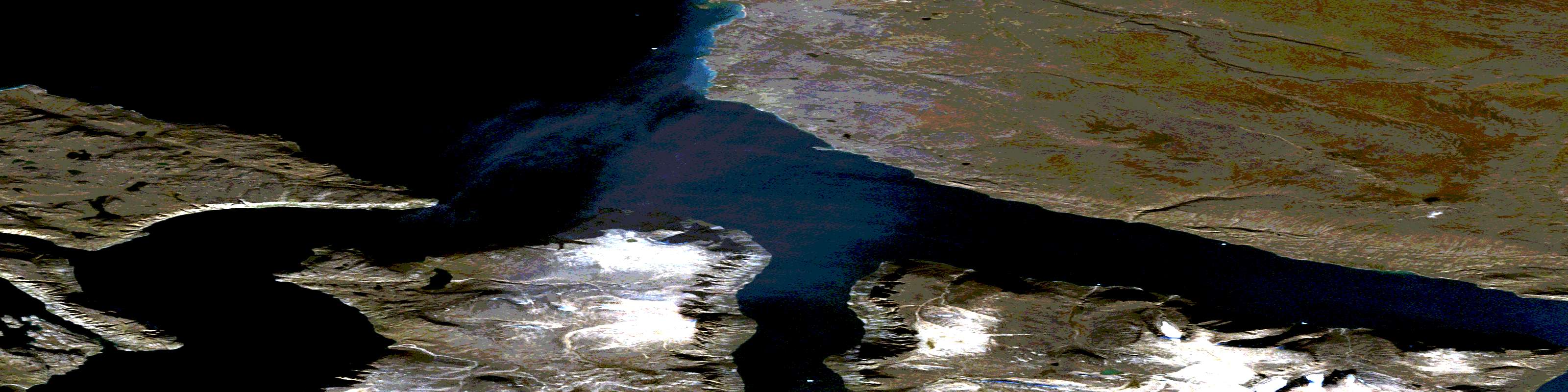
© Department of Natural Resources Canada. All rights reserved.
