Middle Island Satellite Image Map
Download Free Aerial Photo 040G10 at 1:50,000 scale
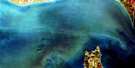
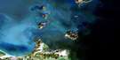
Middle Island Satellite Imagery
To view this satellite map, mouse over the air photo on the right.
You can also download this satellite image map for free:
040G10 Middle Island high-resolution satellite image map.
Maps for the Middle Island aerial map sheet 040G10 at 1:50,000 scale are also available in these versions:
Middle Island Surrounding Area Aerial Photo Maps
 |
|||
 |
|||
© Department of Natural Resources Canada. All rights reserved.
Middle Island Gazetteer
The following places can be found on satellite image map 040G10 Middle Island:
Middle Island Satellite Image: Bays
Mosquito BaySouth Bay
Middle Island Satellite Image: Capes
Fish PointMill Point
Mosquito Point
Middle Island Satellite Image: Geographical areas
EssexGosfield
Mersea
Pelee
Middle Island Satellite Image: Islands
Middle IslandPelee Island
Middle Island Satellite Image: Lakes
Fox LagoonLac Érié
Lake Erie
Middle Island Satellite Image: Major municipal/district area - major agglomerations
EssexMiddle Island Satellite Image: Other municipal/district area - miscellaneous
Gosfield SouthMersea
Pelee
Middle Island Satellite Image: Conservation areas
Fish Point Provincial Nature ReserveMiddle Island Satellite Image: Provinces
OntarioMiddle Island Satellite Image: Shoals
Chickenolee ReefMiddle Island Satellite Image: Unincorporated areas
Pelee Island South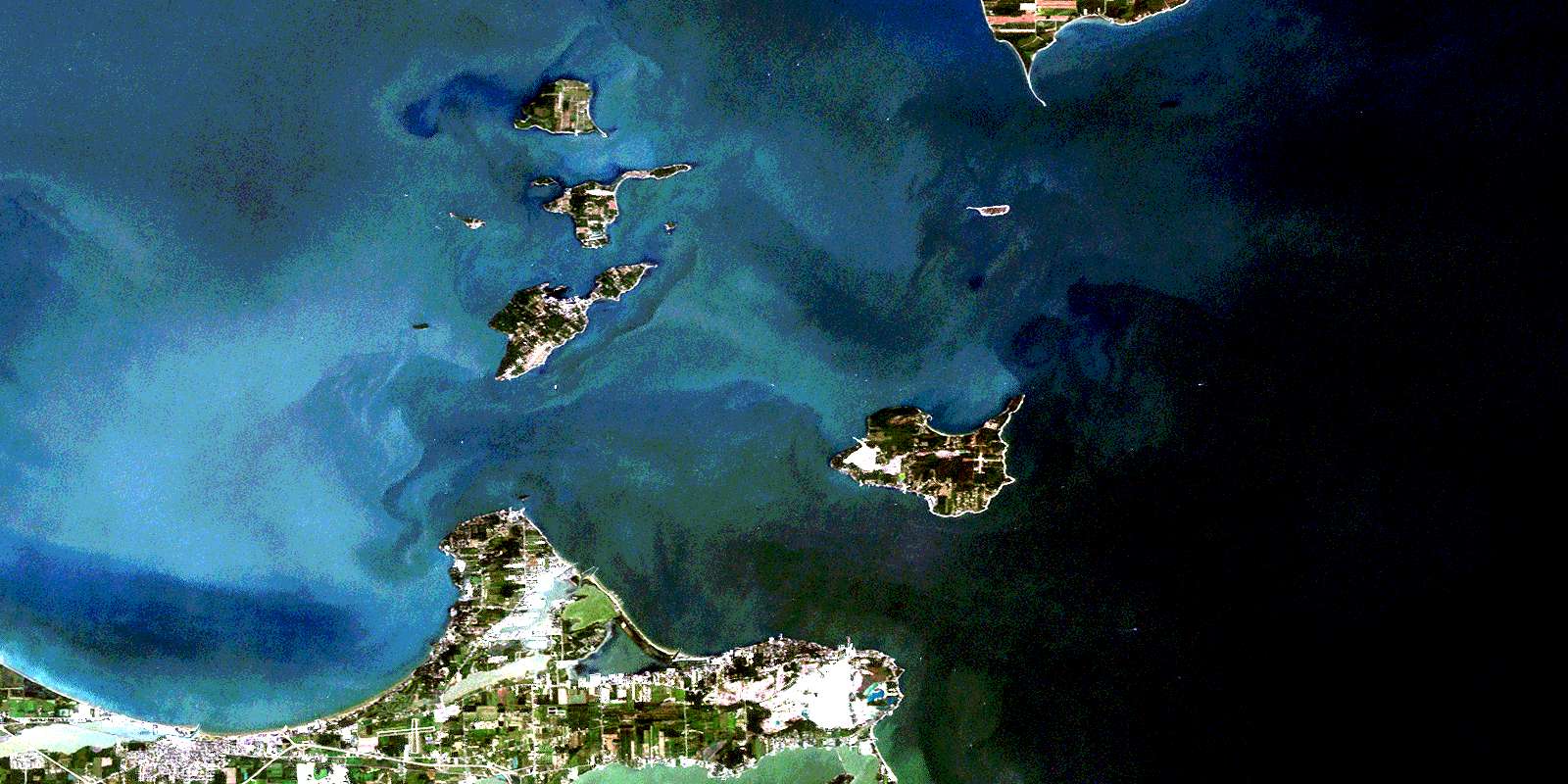
© Department of Natural Resources Canada. All rights reserved.
