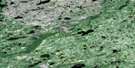
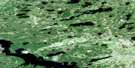
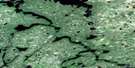
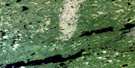
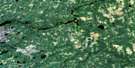
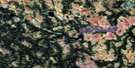
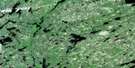
Gowie Bay Satellite Image Map
Download Free Aerial Photo 042M05 at 1:50,000 scale
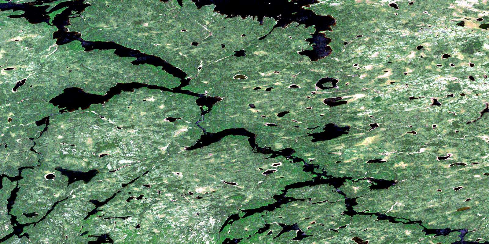
Gowie Bay Satellite Imagery
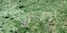
To view this satellite map, mouse over the air photo on the right.
You can also download this satellite image map for free:
042M05 Gowie Bay high-resolution satellite image map.
Maps for the Gowie Bay aerial map sheet 042M05 at 1:50,000 scale are also available in these versions:
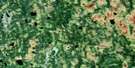
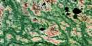
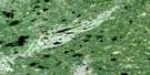
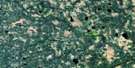
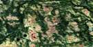
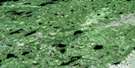
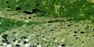
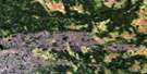
Gowie Bay Surrounding Area Aerial Photo Maps
 |
 |
 |
 |
 |
 |
 |
 |
 |
 |
 |
 |
 |
 |
 |
 |
© Department of Natural Resources Canada. All rights reserved.
Gowie Bay Gazetteer
The following places can be found on satellite image map 042M05 Gowie Bay:
Gowie Bay Satellite Image: Bays
Gowie BayGowie Bay Satellite Image: Lakes
Abazotikichuan LakeEabamet Lake
Makokibatan Lake
Miska Lake
Opichuan Lake
Peninsular Lake
Schist Lake
Shaver Lake
Skarott Lake
Triangular Lake
Gowie Bay Satellite Image: Conservation areas
Albany River Provincial ParkGowie Bay Satellite Image: Rapids
Frenchmans RapidsFrenchman's Rapids
Gowie Bay Satellite Image: Rivers
Albany RiverAttwood River
Eabamet River
Opichuan River
© Department of Natural Resources Canada. All rights reserved.
042M Related Maps:
042M Fort Hope042M01 Eby Falls
042M02 Dusey Lake
042M03 Tyler Lake
042M04 Kellow Lake
042M05 Gowie Bay
042M06 Tanti Island
042M07 Kagiami Falls
042M08 Big Canoe Lake
042M09 Nottik Island
042M10 Maxey Lake
042M11 Mcintyre Lake
042M12 Tidy Lake
042M13 Stark Lake
042M14 Sturrock Lake
042M15 Wabassi Falls
042M16 Sebert Lake
