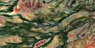
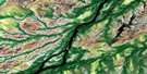
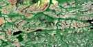
Sandbank Lake Satellite Image Map
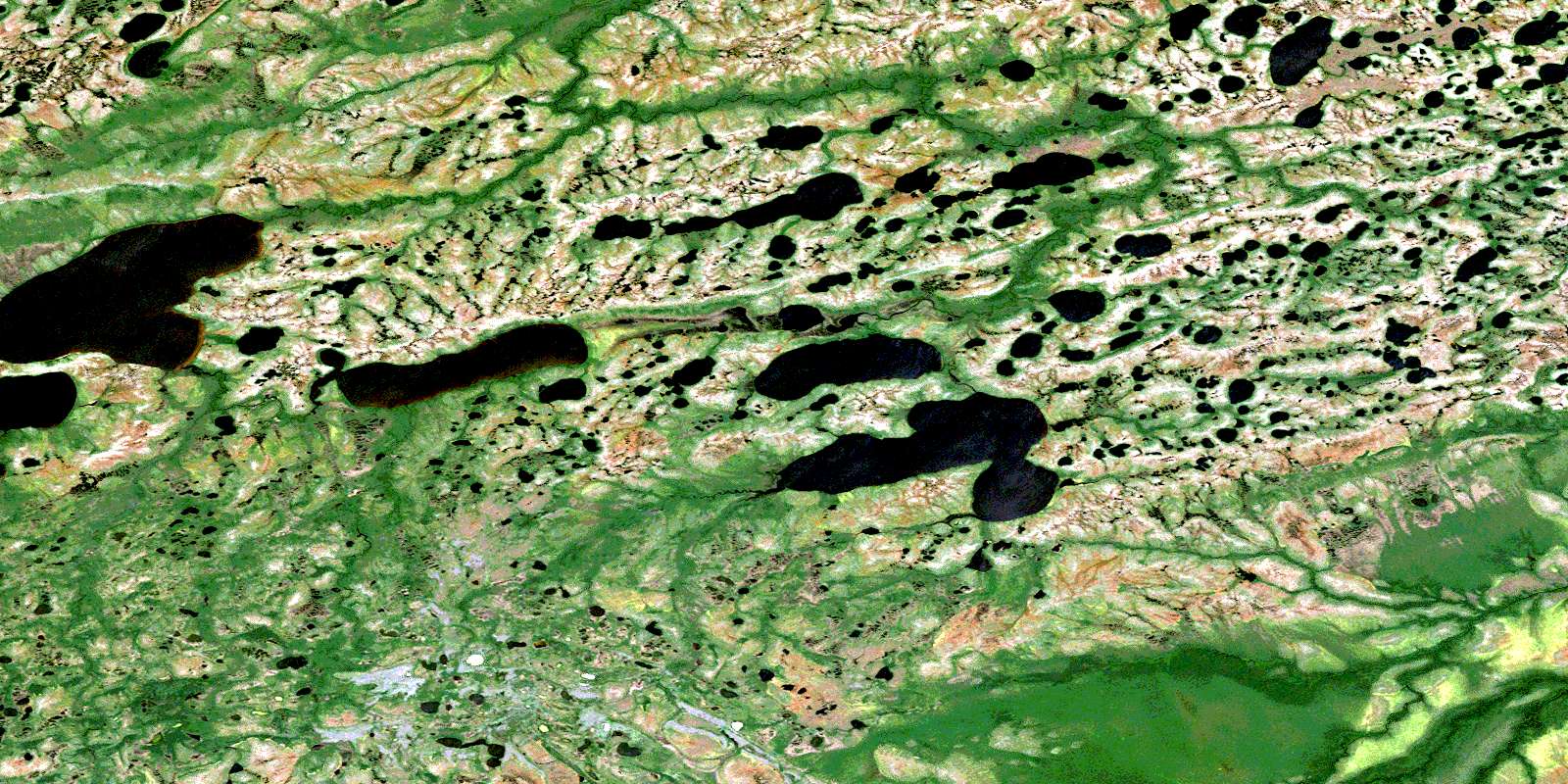
Download Free Aerial Photo 042O02 at 1:50,000 scale
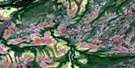
Sandbank Lake Satellite Imagery
To view this satellite map, mouse over the air photo on the right.
You can also download this satellite image map for free:
042O02 Sandbank Lake high-resolution satellite image map.
Maps for the Sandbank Lake aerial map sheet 042O02 at 1:50,000 scale are also available in these versions:
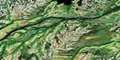
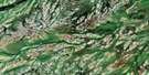
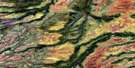
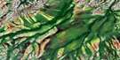
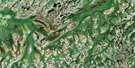
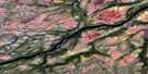
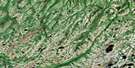
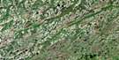
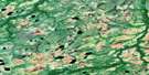
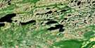
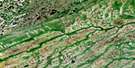
Sandbank Lake Surrounding Area Aerial Photo Maps
 |
 |
 |
 |
 |
 |
 |
 |
 |
 |
 |
 |
 |
 |
 |
 |
© Department of Natural Resources Canada. All rights reserved.
Sandbank Lake Gazetteer
The following places can be found on satellite image map 042O02 Sandbank Lake:
Sandbank Lake Satellite Image: Lakes
Jaab LakeSandbank Lake
Sandbank Lake Satellite Image: Rivers
Agwasuk RiverKwataboahegan River
Kwetabohigan River
Stooping River
© Department of Natural Resources Canada. All rights reserved.
042O Related Maps:
042O Ghost River042O01 Agwasuk River
042O02 Sandbank Lake
042O03 No Title
042O04 Awagakama River
042O05 Chemahagan River
042O06 Cheepay Island
042O07 Rabkin Lake
042O08 Salomaa Creek
042O09 Belec Lakes
042O10 Brovender River
042O11 Norran Island
042O12 No Title
042O13 No Title
042O14 Sand Cherry Island
042O15 Fishing Creek Island
042O16 Byrd Island
