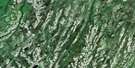
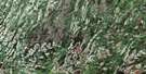
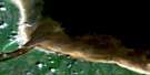
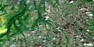
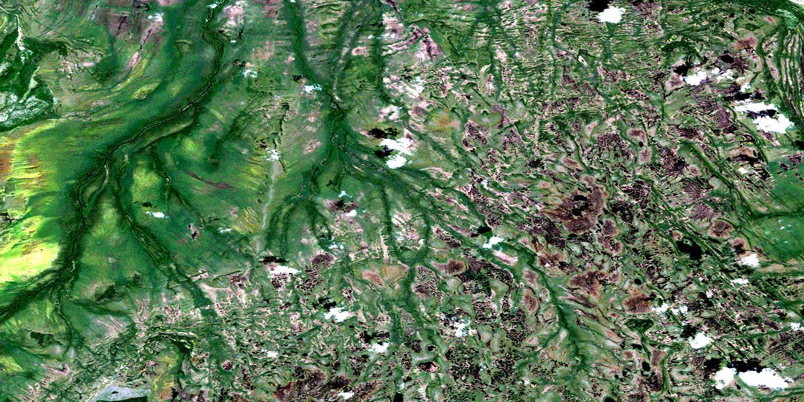
Thyret Lake Satellite Image Map
Download Free Aerial Photo 042P01 at 1:50,000 scale
Thyret Lake Satellite Imagery
To view this satellite map, mouse over the air photo on the right.
You can also download this satellite image map for free:
042P01 Thyret Lake high-resolution satellite image map.
Maps for the Thyret Lake aerial map sheet 042P01 at 1:50,000 scale are also available in these versions:
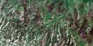
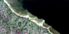
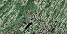
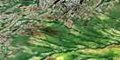
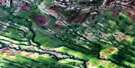
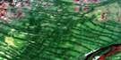
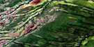
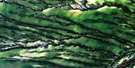
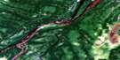
Thyret Lake Surrounding Area Aerial Photo Maps
 |
 |
 |
|
 |
 |
 |
|
 |
 |
 |
 |
 |
 |
 |
 |
© Department of Natural Resources Canada. All rights reserved.
Thyret Lake Gazetteer
The following places can be found on satellite image map 042P01 Thyret Lake:
Thyret Lake Satellite Image: Capes
Arnold PointThyret Lake Satellite Image: Indian Reserves
Moose Factory Indian Reserve 68Réserve indienne Moose Factory 68
Thyret Lake Satellite Image: Islands
Kinonagau IslandMistikopileo Island
Thyret Lake Satellite Image: Lakes
Thyret LakeWashahawagau Lake
Thyret Lake Satellite Image: Mountains
Askaskwayau RidgeThyret Lake Satellite Image: Rivers
Atik CreekBuoy Bluff Creek
East Branch Shipastik Creek
Kapichilewau Creek
Kaskwestikweyau Creek
Kishipaskeyau Creek
Little Partridge River
Little Washiskogau Creek
Muskeg Creek
Netitishi Creek
Partridge River
Paskeyau Creek
Shipastik Creek
Waginagan Creek
Washahawagau Creek
West Branch Waginagan Creek
© Department of Natural Resources Canada. All rights reserved.
042P Related Maps:
042P Moosonee042P01 Thyret Lake
042P02 Bushy Island
042P03 Cheepash River
042P04 Bedford Creek
042P05 Fulton River
042P06 Hancock Creek
042P07 Moosonee
042P08 Ship Sands Island
042P10 Big Piskwamish Point
042P11 Hean Creek
042P12 Kinosheo Lakes
042P13 No Title
042P14 Luchan River
042P15 Longridge Point
