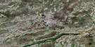
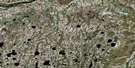
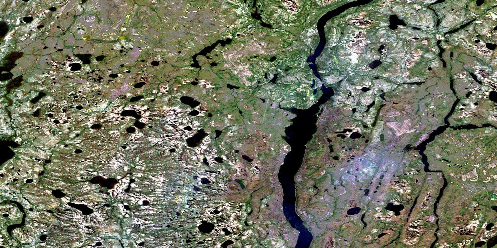
Sutton Narrows Satellite Image Map
Download Free Aerial Photo 043K07 at 1:50,000 scale
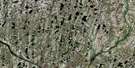
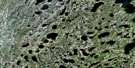
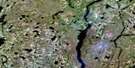
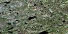
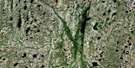
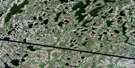
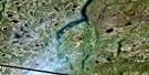
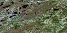
Sutton Narrows Satellite Imagery
To view this satellite map, mouse over the air photo on the right.
You can also download this satellite image map for free:
043K07 Sutton Narrows high-resolution satellite image map.
Maps for the Sutton Narrows aerial map sheet 043K07 at 1:50,000 scale are also available in these versions:
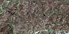
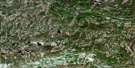
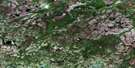
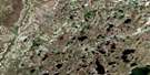
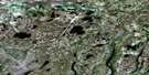
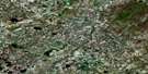
Sutton Narrows Surrounding Area Aerial Photo Maps
 |
 |
 |
 |
 |
 |
 |
 |
 |
 |
 |
 |
 |
 |
 |
 |
© Department of Natural Resources Canada. All rights reserved.
Sutton Narrows Gazetteer
The following places can be found on satellite image map 043K07 Sutton Narrows:
Sutton Narrows Satellite Image: Channels
Sutton NarrowsSutton Narrows Satellite Image: Lakes
Aquatuk LakeHawley Lake
Kiruna Lake
Moss Lake
North Washagami Lake
Raft Lake
Spruce Lake
Sutton Lake
Washagami Lake
Sutton Narrows Satellite Image: Mountains
Sutton RidgesSutton Narrows Satellite Image: Conservation areas
Sutton Lake Gorge Wilderness AreaSutton Narrows Satellite Image: Rivers
North Washagami RiverWashagami River
© Department of Natural Resources Canada. All rights reserved.
