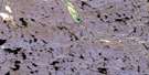
Tasialuk Lake Satellite Image Map
Download Free Aerial Photo 046L02 at 1:50,000 scale
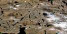
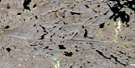
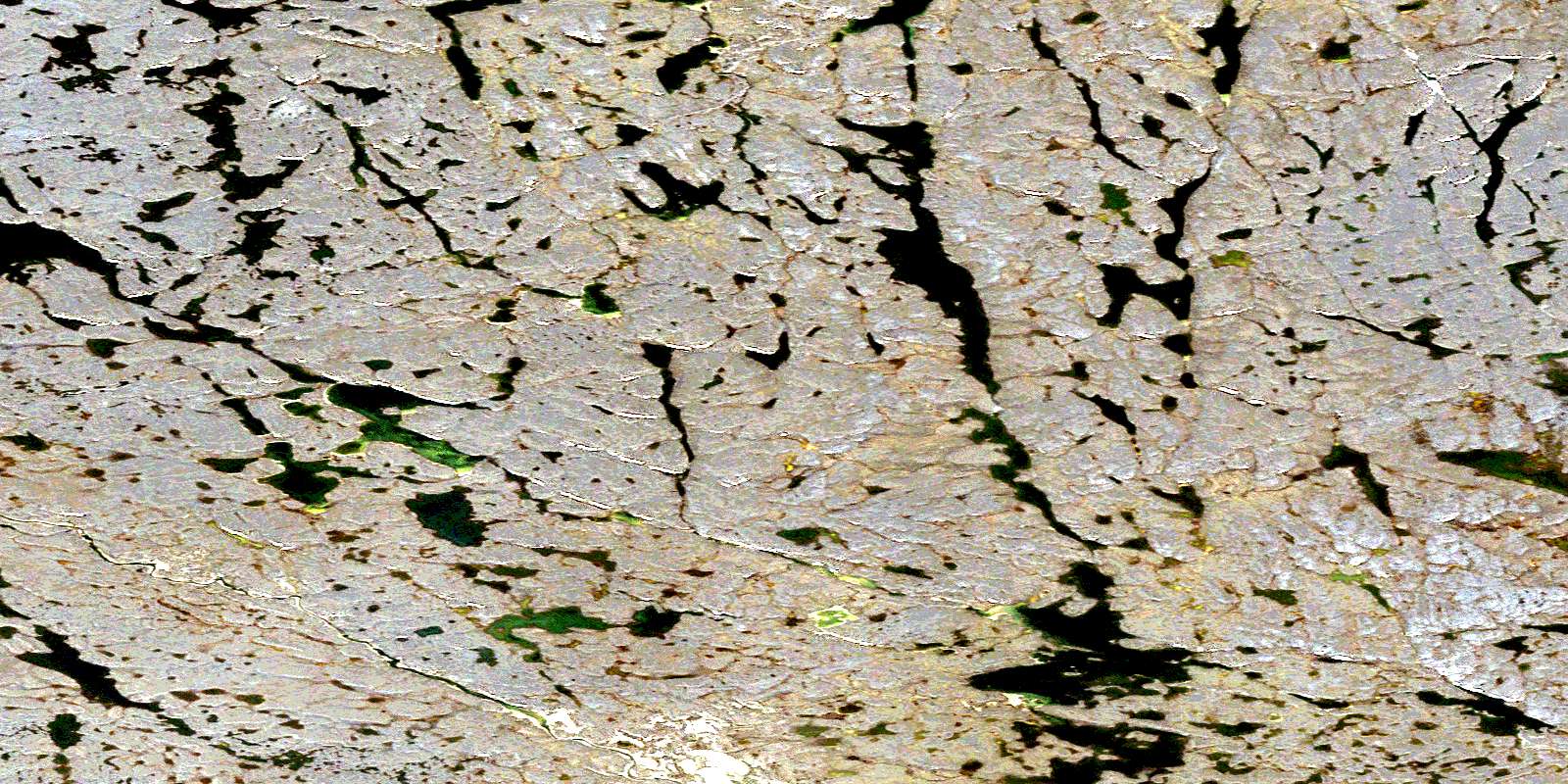
Tasialuk Lake Satellite Imagery
To view this satellite map, mouse over the air photo on the right.
You can also download this satellite image map for free:
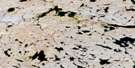
046L02 Tasialuk Lake high-resolution satellite image map.
Maps for the Tasialuk Lake aerial map sheet 046L02 at 1:50,000 scale are also available in these versions:
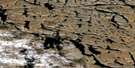
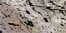
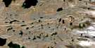
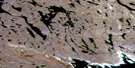
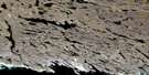
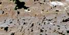
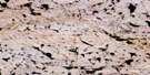
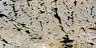
Tasialuk Lake Surrounding Area Aerial Photo Maps
 |
 |
 |
 |
 |
 |
 |
 |
 |
 |
 |
 |
 |
 |
 |
 |
© Department of Natural Resources Canada. All rights reserved.
Tasialuk Lake Gazetteer
The following places can be found on satellite image map 046L02 Tasialuk Lake:
Tasialuk Lake Satellite Image: Lakes
Iviangirnalik LakeTasialuk Lake
Tasialuk Lake Satellite Image: Rivers
Sipujjaqtuq RiverSnowbank River
© Department of Natural Resources Canada. All rights reserved.
046L Related Maps:
046L Repulse Bay046L01 Cape Hope
046L02 Tasialuk Lake
046L03 No Title
046L04 No Title
046L05 No Title
046L06 No Title
046L07 Qavirajarjuaq Hill
046L08 Tuluarvik Island
046L09 Repulse Bay
046L10 North Pole Lake
046L11 Christie Lake South
046L12 No Title
046L13 No Title
046L14 Christie Lake North
046L15 Wilson Lake North
046L16 No Title
