Quilliam Bay Satellite Image Map
Download Free Aerial Photo 047D12 at 1:50,000 scale
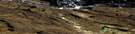
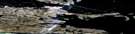
Quilliam Bay Satellite Imagery
To view this satellite map, mouse over the air photo on the right.
You can also download this satellite image map for free:
047D12 Quilliam Bay high-resolution satellite image map.
Maps for the Quilliam Bay aerial map sheet 047D12 at 1:50,000 scale are also available in these versions:
Quilliam Bay Surrounding Area Aerial Photo Maps
 |
 |
||
 |
 |
 |
|
 |
 |
 |
© Department of Natural Resources Canada. All rights reserved.
Quilliam Bay Gazetteer
The following places can be found on satellite image map 047D12 Quilliam Bay:
Quilliam Bay Satellite Image: Bays
Griffiths BayQuilliam Bay
Quilliam Bay Satellite Image: Channels
Fury and Hecla StraitQuilliam Bay Satellite Image: Islands
Amherst IslandLiddon Island
Quilliam Bay Satellite Image: Lakes
Grinnell LakeQuilliam Bay Satellite Image: Major municipal/district area - major agglomerations
Wood BuffaloQuilliam Bay Satellite Image: Rivers
Crozier River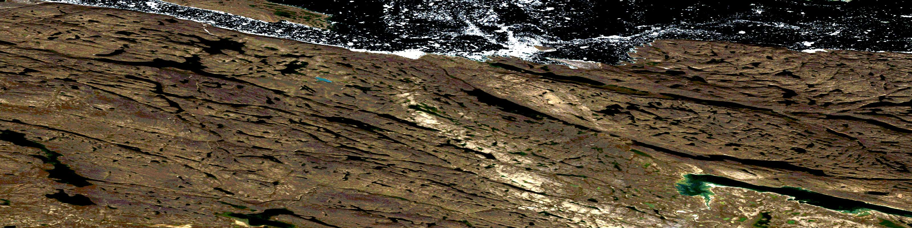
© Department of Natural Resources Canada. All rights reserved.
