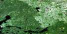
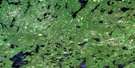
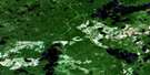
Henfrey Lake Satellite Image Map
Download Free Aerial Photo 052N06 at 1:50,000 scale
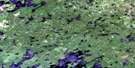
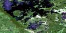
Henfrey Lake Satellite Imagery
To view this satellite map, mouse over the air photo on the right.
You can also download this satellite image map for free:
052N06 Henfrey Lake high-resolution satellite image map.
Maps for the Henfrey Lake aerial map sheet 052N06 at 1:50,000 scale are also available in these versions:
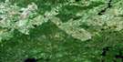
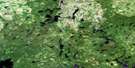
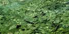
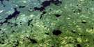
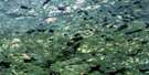
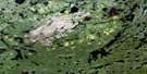
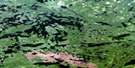
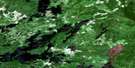
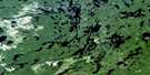
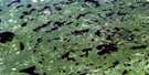
Henfrey Lake Surrounding Area Aerial Photo Maps
 |
 |
 |
 |
 |
 |
 |
 |
 |
 |
 |
 |
 |
 |
 |
 |
© Department of Natural Resources Canada. All rights reserved.
Henfrey Lake Gazetteer
The following places can be found on satellite image map 052N06 Henfrey Lake:
Henfrey Lake Satellite Image: Bays
Atwood BayCaskie Bay
Henfrey Lake Satellite Image: Lakes
Blair LakeCarkner Lake
Dunphy Lake
Evans Lake
Farrer Lake
Glay Lake
Guernsey Lake
Hakala Lake
Hanton Lake
Henfrey Lake
Kotyk Lake
Maluish Lake
Maxwell Lake
Nungesser Lake
Odell Lake
Ouellette Lake
Phillips Lake
Reeves Lake
Sidace Lake
Sobeski Lake
Tackaberry Lake
Trout Lake
Uren Lake
Usick Lake
Vost Lake
Zimring Lake
Henfrey Lake Satellite Image: Rivers
Sidace Creek
© Department of Natural Resources Canada. All rights reserved.
052N Related Maps:
052N Trout Lake052N01 Jeanette Lake
052N02 Confederation Lake
052N03 Little Trout Lake
052N04 Red Lake
052N05 Nungesser River
052N06 Henfrey Lake
052N07 Shabumeni Lake
052N08 Birch Lake
052N09 Carillon Lake
052N10 Mamakwash Lake
052N11 Pringle Lake
052N12 Kirkness Lake
052N13 Berens Lake
052N14 Nechigona Lake
052N15 Madden Lake
052N16 Wigwasikak Lake
